28 Maillet Ln New Hartford, CT 06057
Estimated Value: $391,309 - $507,000
3
Beds
3
Baths
1,288
Sq Ft
$330/Sq Ft
Est. Value
About This Home
This home is located at 28 Maillet Ln, New Hartford, CT 06057 and is currently estimated at $424,827, approximately $329 per square foot. 28 Maillet Ln is a home located in Litchfield County with nearby schools including Ann Antolini School, Northwestern Regional Middle School, and Northwestern Regional High School.
Ownership History
Date
Name
Owned For
Owner Type
Purchase Details
Closed on
Jan 19, 1993
Sold by
Moss Frank and Drezen Stephen M
Bought by
Failo Jay S
Current Estimated Value
Home Financials for this Owner
Home Financials are based on the most recent Mortgage that was taken out on this home.
Original Mortgage
$25,000
Interest Rate
8%
Mortgage Type
Unknown
Purchase Details
Closed on
Sep 7, 1973
Bought by
Palmer Richard and Palmer Marguerite
Create a Home Valuation Report for This Property
The Home Valuation Report is an in-depth analysis detailing your home's value as well as a comparison with similar homes in the area
Home Values in the Area
Average Home Value in this Area
Purchase History
| Date | Buyer | Sale Price | Title Company |
|---|---|---|---|
| Failo Jay S | $39,900 | -- | |
| Palmer Richard | -- | -- |
Source: Public Records
Mortgage History
| Date | Status | Borrower | Loan Amount |
|---|---|---|---|
| Closed | Palmer Richard | $25,000 |
Source: Public Records
Tax History Compared to Growth
Tax History
| Year | Tax Paid | Tax Assessment Tax Assessment Total Assessment is a certain percentage of the fair market value that is determined by local assessors to be the total taxable value of land and additions on the property. | Land | Improvement |
|---|---|---|---|---|
| 2025 | $5,435 | $190,890 | $50,680 | $140,210 |
| 2024 | $5,219 | $190,890 | $50,680 | $140,210 |
| 2023 | $4,900 | $148,400 | $50,680 | $97,720 |
| 2022 | $4,795 | $148,400 | $50,680 | $97,720 |
| 2021 | $4,824 | $147,840 | $50,680 | $97,160 |
| 2020 | $4,780 | $147,840 | $50,680 | $97,160 |
| 2019 | $4,723 | $147,840 | $50,680 | $97,160 |
| 2018 | $4,536 | $140,350 | $50,680 | $89,670 |
| 2017 | $4,382 | $140,350 | $50,680 | $89,670 |
| 2016 | $4,368 | $140,350 | $50,680 | $89,670 |
| 2015 | $4,146 | $140,350 | $50,680 | $89,670 |
| 2014 | $4,025 | $140,350 | $50,680 | $89,670 |
Source: Public Records
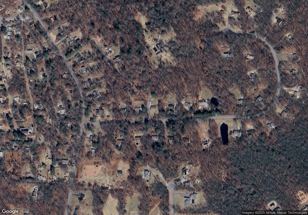
Map
Nearby Homes
- 37 Maillet Ln
- 18 Niles Rd
- 86 Bsullak Rd
- 408 A Niles Rd
- 200 W Hill Rd
- 45 Eddy Rd
- 7 Stadler Heights
- 408 New Hartford Rd
- 187 Torringford St
- 103 New Hartford Rd
- 13 Dew Rd
- 7 Church St N
- 537 Main St
- 555 Town Hill Rd
- 3222 Torringford St
- 230 White Oak Way
- 229 White Oak Way
- 225 White Oak Way
- 95 Nalette Dr
- 109 Winterberry Way