28 Maplecrest Dr Unit 1 Charleston, SC 29412
James Island NeighborhoodEstimated Value: $286,379 - $376,000
2
Beds
2
Baths
1,077
Sq Ft
$309/Sq Ft
Est. Value
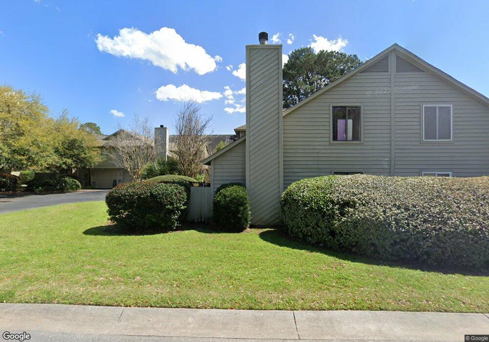
About This Home
This home is located at 28 Maplecrest Dr Unit 1, Charleston, SC 29412 and is currently estimated at $333,095, approximately $309 per square foot. 28 Maplecrest Dr Unit 1 is a home located in Charleston County with nearby schools including Harbor View Elementary School, Camp Road Middle, and James Island Charter High School.
Ownership History
Date
Name
Owned For
Owner Type
Purchase Details
Closed on
Nov 10, 2017
Sold by
Bisset Andrew D
Bought by
Sommers Natasha M
Current Estimated Value
Home Financials for this Owner
Home Financials are based on the most recent Mortgage that was taken out on this home.
Original Mortgage
$199,500
Outstanding Balance
$167,172
Interest Rate
3.85%
Mortgage Type
New Conventional
Estimated Equity
$165,924
Purchase Details
Closed on
Aug 21, 2008
Sold by
Rourke Angela R
Bought by
Bisset Andrew D
Home Financials for this Owner
Home Financials are based on the most recent Mortgage that was taken out on this home.
Original Mortgage
$157,500
Interest Rate
6.61%
Mortgage Type
Purchase Money Mortgage
Purchase Details
Closed on
Nov 14, 2003
Sold by
Longo Robert Earl and Longo Deborah P
Bought by
Rourk Angela R
Purchase Details
Closed on
Oct 29, 2001
Sold by
Rosina Diaz
Bought by
Longo Robert Earl and Orcutt Deborah P
Create a Home Valuation Report for This Property
The Home Valuation Report is an in-depth analysis detailing your home's value as well as a comparison with similar homes in the area
Home Values in the Area
Average Home Value in this Area
Purchase History
| Date | Buyer | Sale Price | Title Company |
|---|---|---|---|
| Sommers Natasha M | $199,500 | Fleming Title Co Llc | |
| Bisset Andrew D | $175,000 | -- | |
| Rourk Angela R | $130,000 | -- | |
| Longo Robert Earl | $125,000 | -- |
Source: Public Records
Mortgage History
| Date | Status | Borrower | Loan Amount |
|---|---|---|---|
| Open | Sommers Natasha M | $199,500 | |
| Previous Owner | Bisset Andrew D | $157,500 |
Source: Public Records
Tax History Compared to Growth
Tax History
| Year | Tax Paid | Tax Assessment Tax Assessment Total Assessment is a certain percentage of the fair market value that is determined by local assessors to be the total taxable value of land and additions on the property. | Land | Improvement |
|---|---|---|---|---|
| 2024 | $1,361 | $8,190 | $0 | $0 |
| 2023 | $1,160 | $8,190 | $0 | $0 |
| 2022 | $1,058 | $8,190 | $0 | $0 |
| 2021 | $1,107 | $8,190 | $0 | $0 |
| 2020 | $1,146 | $8,190 | $0 | $0 |
| 2019 | $1,140 | $8,000 | $0 | $0 |
| 2017 | $780 | $5,430 | $0 | $0 |
| 2016 | $750 | $5,430 | $0 | $0 |
| 2015 | $773 | $5,430 | $0 | $0 |
| 2014 | $744 | $0 | $0 | $0 |
| 2011 | -- | $0 | $0 | $0 |
Source: Public Records
Map
Nearby Homes
- 13 Maplecrest Dr
- 31 Maplecrest Dr
- 55 Held Cir
- 50 Held Cir Unit 50c
- 8 Brockman Dr
- 17 S Anderson Ave Unit A,B,C, D
- 1 S Anderson Ave
- 27 Brockman Dr Unit 27C
- 27 Brockman Dr Unit 27B
- 35 Rivers Point Row Unit A
- 1416 Camp Rd
- 1402 Camp Rd Unit 3F
- 1402 Camp Rd Unit 15E
- 1402 Camp Rd Unit 9C
- 1402 Camp Rd Unit 5E
- 1402 Camp Rd Unit 3B
- 1402 Camp Rd Unit 9G
- 1402 Camp Rd Unit 16F
- 1402 Camp Rd Unit 10D
- 6 Commercial Row
- 28 Maplecrest Dr
- 30 Maplecrest Dr
- 26 Maplecrest Dr
- 20 Maplecrest Dr
- 32 Maplecrest Dr
- 24 Maplecrest Dr
- 0 Held Cir Unit 8933650
- 0 Held Cir Unit 9502765
- 0 Held Cir Unit 9415332
- 0 Held Cir Unit 9912645
- 0 Held Cir Unit C
- 62 Held Cir Unit D
- 62 Held Cir Unit C
- 62 Held Cir Unit B
- 62 Held Cir Unit A
- 34 Maplecrest Dr
- 18 Maplecrest Dr
- 1300 Maplecrest Dr
- 1104 Maplecrest Dr
- 1204 Maplecrest Dr