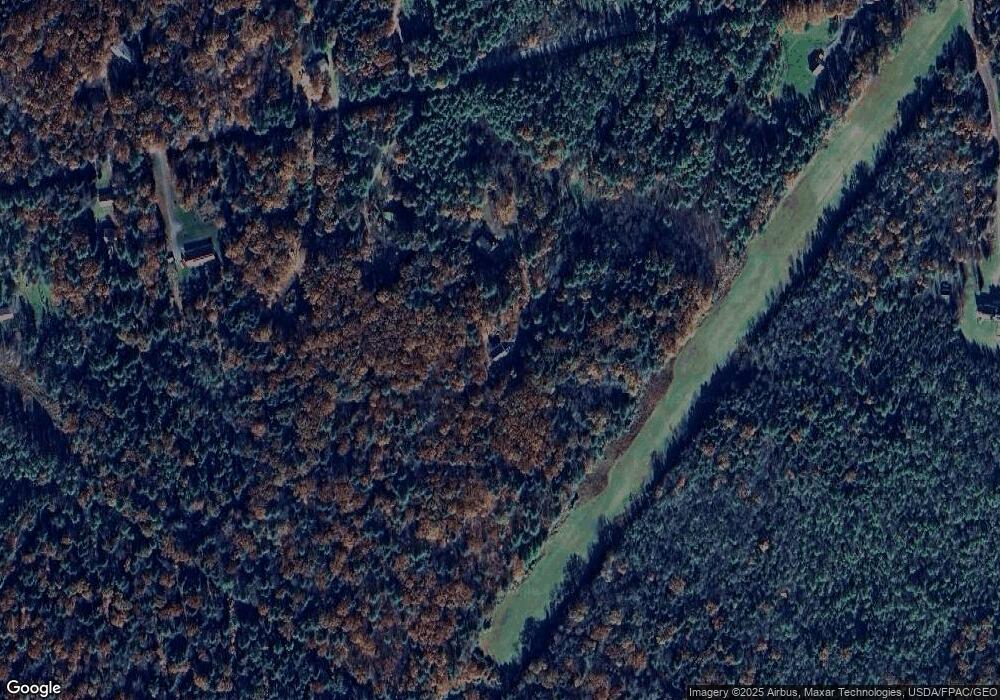
28 Mcgovern Dr Buxton, ME 04093
Salmon Falls NeighborhoodEstimated Value: $479,000 - $609,173
3
Beds
2
Baths
2,400
Sq Ft
$228/Sq Ft
Est. Value
About This Home
This home is located at 28 Mcgovern Dr, Buxton, ME 04093 and is currently estimated at $546,724, approximately $227 per square foot. 28 Mcgovern Dr is a home with nearby schools including Bonny Eagle High School.
Create a Home Valuation Report for This Property
The Home Valuation Report is an in-depth analysis detailing your home's value as well as a comparison with similar homes in the area
Home Values in the Area
Average Home Value in this Area
Tax History Compared to Growth
Tax History
| Year | Tax Paid | Tax Assessment Tax Assessment Total Assessment is a certain percentage of the fair market value that is determined by local assessors to be the total taxable value of land and additions on the property. | Land | Improvement |
|---|---|---|---|---|
| 2024 | $5,871 | $534,200 | $155,400 | $378,800 |
| 2023 | $5,578 | $534,800 | $156,000 | $378,800 |
| 2022 | $5,517 | $538,800 | $156,000 | $382,800 |
| 2021 | $4,386 | $327,535 | $98,800 | $228,735 |
| 2020 | $0 | $327,535 | $98,800 | $228,735 |
| 2019 | $3,017 | $292,500 | $98,800 | $193,700 |
| 2018 | $3,853 | $292,500 | $98,800 | $193,700 |
| 2017 | $707 | $292,500 | $98,800 | $193,700 |
| 2016 | $3,817 | $292,500 | $98,800 | $193,700 |
| 2015 | $3,771 | $291,200 | $98,800 | $192,400 |
| 2014 | $3,698 | $291,200 | $98,800 | $192,400 |
| 2013 | $3,640 | $291,200 | $98,800 | $192,400 |
Source: Public Records
Map
Nearby Homes
- 158 Lord Rd
- 70 Beech Plains Rd
- 0 Beech Plains Rd
- 37 Boynton Rd
- 143 Hollis Rd
- 30 Joy Valley Rd
- 12 Salmon Falls Rd
- 48 Tickle Way
- 53 Danley Rd
- 281 Narragansett Trail
- 4 Primrose Ln
- 222 Main St
- 436 Flag Pond Rd
- 430 Narragansett Trail
- 19 Depot St
- 62 Nichols Ln
- 9 Jada Dr
- 82 Watson Mill Rd
- 986 New County Rd
- 10 Tide Water Dr
