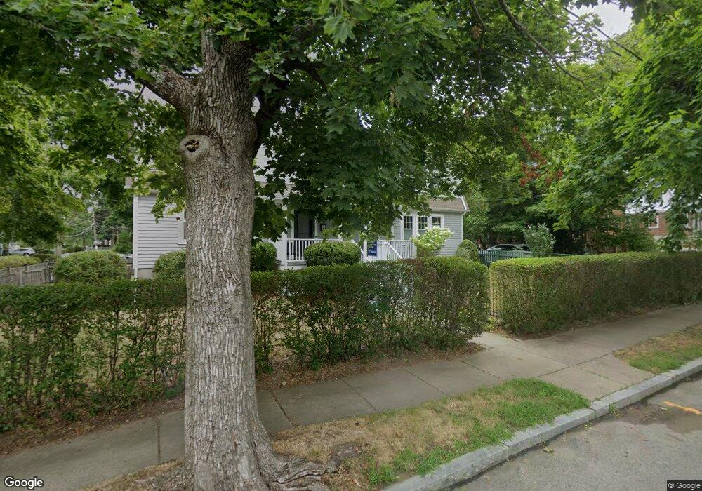
28 Myrtle St West Newton, MA 02465
West Newton NeighborhoodEstimated Value: $872,000 - $961,000
3
Beds
2
Baths
1,425
Sq Ft
$645/Sq Ft
Est. Value
About This Home
This home is located at 28 Myrtle St, West Newton, MA 02465 and is currently estimated at $918,943, approximately $644 per square foot. 28 Myrtle St is a home located in Middlesex County with nearby schools including Peirce Elementary School, F.A. Day Middle School, and Newton North High School.
Ownership History
Date
Name
Owned For
Owner Type
Purchase Details
Closed on
Sep 28, 2022
Sold by
Kapur Kush and Sangwan Anju
Bought by
Chang Hsiao D and Chang Yi H
Current Estimated Value
Home Financials for this Owner
Home Financials are based on the most recent Mortgage that was taken out on this home.
Original Mortgage
$204,000
Outstanding Balance
$195,733
Interest Rate
5.63%
Mortgage Type
Purchase Money Mortgage
Estimated Equity
$723,210
Purchase Details
Closed on
Sep 1, 2016
Sold by
Barbone Martha
Bought by
Kapur Kush and Sangwan Anjur
Home Financials for this Owner
Home Financials are based on the most recent Mortgage that was taken out on this home.
Original Mortgage
$68,680
Interest Rate
3.45%
Mortgage Type
New Conventional
Purchase Details
Closed on
Feb 10, 2004
Sold by
Barbone Carmine and Barbone Martha
Bought by
Barbone Martha
Create a Home Valuation Report for This Property
The Home Valuation Report is an in-depth analysis detailing your home's value as well as a comparison with similar homes in the area
Home Values in the Area
Average Home Value in this Area
Purchase History
| Date | Buyer | Sale Price | Title Company |
|---|---|---|---|
| Chang Hsiao D | $832,000 | None Available | |
| Chang Hsiao D | $832,000 | None Available | |
| Kapur Kush | $687,500 | -- | |
| Barbone Martha | -- | -- | |
| Barbone Martha | -- | -- |
Source: Public Records
Mortgage History
| Date | Status | Borrower | Loan Amount |
|---|---|---|---|
| Open | Chang Hsiao D | $204,000 | |
| Closed | Chang Hsiao D | $204,000 | |
| Previous Owner | Kapur Kush | $68,680 |
Source: Public Records
Tax History Compared to Growth
Tax History
| Year | Tax Paid | Tax Assessment Tax Assessment Total Assessment is a certain percentage of the fair market value that is determined by local assessors to be the total taxable value of land and additions on the property. | Land | Improvement |
|---|---|---|---|---|
| 2025 | $8,006 | $816,900 | $0 | $816,900 |
| 2024 | $7,741 | $793,100 | $0 | $793,100 |
| 2023 | $7,612 | $747,700 | $0 | $747,700 |
| 2022 | $7,491 | $712,100 | $0 | $712,100 |
| 2021 | $7,229 | $671,800 | $0 | $671,800 |
| 2020 | $7,014 | $671,800 | $0 | $671,800 |
| 2019 | $6,815 | $652,200 | $0 | $652,200 |
| 2018 | $5,988 | $553,400 | $0 | $553,400 |
| 2017 | $5,806 | $522,100 | $0 | $522,100 |
| 2016 | $5,552 | $487,900 | $0 | $487,900 |
| 2015 | $5,395 | $464,700 | $0 | $464,700 |
Source: Public Records
Map
Nearby Homes
- 0 Duncan Rd Unit 72925240
- 17 Gilbert St
- 51 Bourne St
- 1639 Washington St
- 40 Sewall St
- 18 Sewall St
- 1640 Commonwealth Ave
- 13 Weir St
- 10 Crescent St Unit 1
- 10 Crescent St Unit 2
- 17 Crescent St
- 10 Ruane Rd
- 283 Woodland Rd
- 1754 Washington St
- 62-64 Rowe St Unit B
- 371 Cherry St
- 226 Auburn St Unit 226
- 224 Auburn St Unit 224
- 224 Auburn St Unit A
- 2 Elm St Unit 6
- 30 Myrtle St
- 28 Myrtle St Unit 28
- 36 Myrtle St
- 28 Ardmore Rd
- 34 Myrtle St
- 18 Myrtle St
- 22 Ardmore Rd
- 40 Myrtle St
- 27 Ardmore Rd
- 9 Ardmore Rd
- 15 Ardmore Rd
- 10 Myrtle St Unit 12
- 10 Myrtle St Unit 2
- 15 Tennyson Rd
- 8 Ardmore Terrace
- 11 Ardmore Terrace
- 12 Ardmore Rd
- 1560 Washington St
- 1560 Washington St Unit 1
- 14 Ardmore Terrace