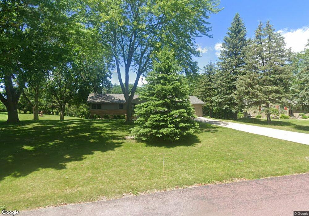
28 N Pilot Ct Mankato, MN 56001
Rasmussen Park NeighborhoodEstimated Value: $320,323 - $349,000
4
Beds
2
Baths
1,284
Sq Ft
$260/Sq Ft
Est. Value
About This Home
This home is located at 28 N Pilot Ct, Mankato, MN 56001 and is currently estimated at $334,081, approximately $260 per square foot. 28 N Pilot Ct is a home located in Blue Earth County with nearby schools including Jefferson Elementary School, Dakota Meadows Middle School, and Mankato West Senior High School.
Create a Home Valuation Report for This Property
The Home Valuation Report is an in-depth analysis detailing your home's value as well as a comparison with similar homes in the area
Home Values in the Area
Average Home Value in this Area
Tax History Compared to Growth
Tax History
| Year | Tax Paid | Tax Assessment Tax Assessment Total Assessment is a certain percentage of the fair market value that is determined by local assessors to be the total taxable value of land and additions on the property. | Land | Improvement |
|---|---|---|---|---|
| 2025 | $3,046 | $278,700 | $61,000 | $217,700 |
| 2024 | $3,082 | $285,900 | $61,000 | $224,900 |
| 2023 | $3,036 | $286,000 | $61,000 | $225,000 |
| 2022 | $2,682 | $269,600 | $61,000 | $208,600 |
| 2021 | $2,554 | $225,200 | $61,000 | $164,200 |
| 2020 | $2,440 | $206,000 | $50,800 | $155,200 |
| 2019 | $2,284 | $206,000 | $50,800 | $155,200 |
| 2018 | $2,260 | $194,200 | $50,800 | $143,400 |
| 2017 | $1,966 | $193,100 | $50,800 | $142,300 |
Source: Public Records
Map
Nearby Homes
- 27 Capri Dr
- 121 Viking Ct
- 309 Viking Dr
- 208 Chancery Ln
- 108 S Brook Way
- 0 Tbd South Brook Way
- TBD S Brook Way
- 124 Joshua Ct
- 216 S Brook Cir
- 213 Rosewood Dr
- 108 Ella Ct
- 112 Rosewood Dr Unit 108 Rosewood Drive
- TBD Woodridge
- 20206 Monks Ave
- 338 James Ave
- 101 Wickfield Dr
- 316 Stoltzman Rd
- 2 A Madison Ave
- TBD Saratoga
- 109 Emily Ln