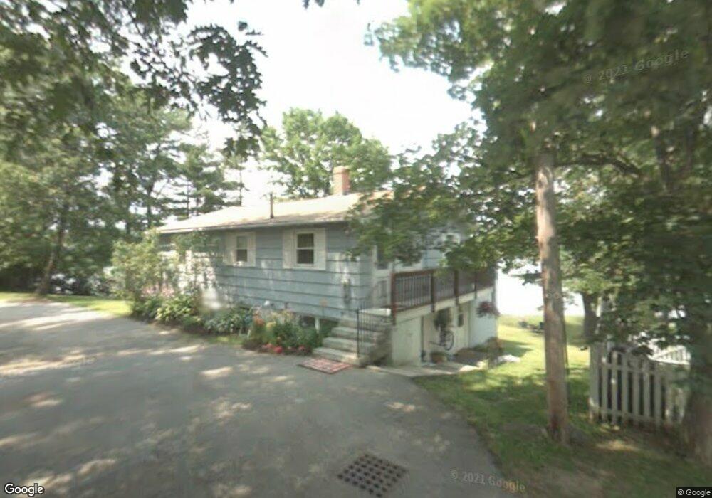
28 Newson Ave Kittery, ME 03904
Estimated Value: $458,000 - $942,000
2
Beds
1
Bath
816
Sq Ft
$976/Sq Ft
Est. Value
About This Home
This home is located at 28 Newson Ave, Kittery, ME 03904 and is currently estimated at $796,448, approximately $976 per square foot. 28 Newson Ave is a home with nearby schools including Horace Mitchell Primary School, Shapleigh School, and Robert W Traip Academy.
Ownership History
Date
Name
Owned For
Owner Type
Purchase Details
Closed on
Jul 3, 2017
Sold by
Harris Matthew C and Harris Khristina L
Bought by
Posa Philip and Posa Debra M
Current Estimated Value
Purchase Details
Closed on
Aug 17, 2009
Sold by
Newson David W
Bought by
Harris Matthew C and Cook Khristina L
Home Financials for this Owner
Home Financials are based on the most recent Mortgage that was taken out on this home.
Original Mortgage
$293,760
Interest Rate
5.36%
Mortgage Type
FHA
Create a Home Valuation Report for This Property
The Home Valuation Report is an in-depth analysis detailing your home's value as well as a comparison with similar homes in the area
Home Values in the Area
Average Home Value in this Area
Purchase History
| Date | Buyer | Sale Price | Title Company |
|---|---|---|---|
| Posa Philip | -- | -- | |
| Harris Matthew C | -- | -- |
Source: Public Records
Mortgage History
| Date | Status | Borrower | Loan Amount |
|---|---|---|---|
| Previous Owner | Harris Matthew C | $293,760 |
Source: Public Records
Tax History Compared to Growth
Tax History
| Year | Tax Paid | Tax Assessment Tax Assessment Total Assessment is a certain percentage of the fair market value that is determined by local assessors to be the total taxable value of land and additions on the property. | Land | Improvement |
|---|---|---|---|---|
| 2024 | $8,477 | $597,000 | $411,100 | $185,900 |
| 2023 | $8,125 | $597,000 | $411,100 | $185,900 |
| 2022 | $8,048 | $597,000 | $411,100 | $185,900 |
| 2021 | $7,761 | $597,000 | $411,100 | $185,900 |
| 2020 | $7,701 | $597,000 | $411,100 | $185,900 |
| 2019 | $8,171 | $469,600 | $332,300 | $137,300 |
| 2018 | $7,889 | $469,600 | $332,300 | $137,300 |
| 2017 | $7,748 | $469,600 | $332,300 | $137,300 |
| 2016 | $7,542 | $469,900 | $332,300 | $137,600 |
| 2015 | $7,301 | $465,900 | $332,300 | $133,600 |
| 2014 | $7,231 | $465,900 | $332,300 | $133,600 |
| 2013 | $7,091 | $465,900 | $332,300 | $133,600 |
Source: Public Records
Map
Nearby Homes
- 205 Whipple Rd
- 12 Gillis Dr Unit 3
- 116 Whipple Rd
- 10-12 Pine St
- 72 Pepperrell Rd
- 299 Haley Rd
- 8 Spruce Point Rd
- 17 Elm Ct
- 165 Rogers Rd
- 15 Atkinson St
- 14 Colonial Ln
- 100 Shepards Cove Rd Unit F204
- 100 Shepards Cove Rd Unit G204
- 132 Pepperrell Rd
- 24 Seabreeze Ln
- 15 Foyes Ln
- 58 Foyes Ln
- 8 Water St Unit 2
- 8 Water St Unit 1
- 175 Wentworth Rd