28 Onaway Point Rd Hebron, NH 03241
Estimated Value: $942,000 - $2,020,000
3
Beds
2
Baths
2,031
Sq Ft
$849/Sq Ft
Est. Value
About This Home
This home is located at 28 Onaway Point Rd, Hebron, NH 03241 and is currently estimated at $1,725,324, approximately $849 per square foot. 28 Onaway Point Rd is a home with nearby schools including Bridgewater-Hebron Village School.
Ownership History
Date
Name
Owned For
Owner Type
Purchase Details
Closed on
Dec 31, 2012
Sold by
Boccia Alfred M
Bought by
Boccia Rt
Current Estimated Value
Home Financials for this Owner
Home Financials are based on the most recent Mortgage that was taken out on this home.
Original Mortgage
$350,000
Outstanding Balance
$243,470
Interest Rate
3.38%
Mortgage Type
Unknown
Estimated Equity
$1,481,854
Create a Home Valuation Report for This Property
The Home Valuation Report is an in-depth analysis detailing your home's value as well as a comparison with similar homes in the area
Home Values in the Area
Average Home Value in this Area
Purchase History
| Date | Buyer | Sale Price | Title Company |
|---|---|---|---|
| Boccia Rt | -- | -- |
Source: Public Records
Mortgage History
| Date | Status | Borrower | Loan Amount |
|---|---|---|---|
| Open | Boccia Rt | $350,000 | |
| Previous Owner | Boccia Rt | $340,000 |
Source: Public Records
Tax History Compared to Growth
Tax History
| Year | Tax Paid | Tax Assessment Tax Assessment Total Assessment is a certain percentage of the fair market value that is determined by local assessors to be the total taxable value of land and additions on the property. | Land | Improvement |
|---|---|---|---|---|
| 2024 | $10,923 | $1,562,700 | $1,324,800 | $237,900 |
| 2023 | $9,970 | $1,562,700 | $1,324,800 | $237,900 |
| 2022 | $10,673 | $1,562,700 | $1,324,800 | $237,900 |
| 2021 | $10,189 | $1,562,700 | $1,324,800 | $237,900 |
| 2020 | $9,765 | $1,017,200 | $852,300 | $164,900 |
| 2019 | $9,858 | $1,017,300 | $852,300 | $165,000 |
| 2018 | $8,505 | $1,017,300 | $852,300 | $165,000 |
| 2017 | $9,095 | $1,017,300 | $852,300 | $165,000 |
| 2016 | $8,464 | $1,017,300 | $852,300 | $165,000 |
| 2015 | $7,920 | $995,000 | $815,000 | $180,000 |
| 2014 | $8,061 | $985,400 | $815,000 | $170,400 |
| 2013 | $7,932 | $985,400 | $815,000 | $170,400 |
Source: Public Records
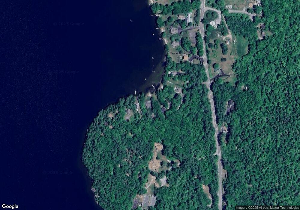
Map
Nearby Homes
- 10 Merrill Rd
- 497 W Shore Rd
- Lot 26 Skyline Dr
- 431 George Rd
- 0 Skyline Dr Unit 19
- 00 Ledgewood Cir Unit 7
- 4 Birchwood Dr Unit A
- 862 Mayhew Turnpike Unit 1
- 33 Winterberry Ln
- 613 Mayhew Turnpike Unit 227-024 & 227-023
- 114 Ledgewood Terrace
- 199 Cottage City Rd
- 40 Adams Rd
- 341 Perkins Hill Rd
- 383 Wulamat Rd
- 171 Bell Rd
- 76 Davis Rd Unit 3
- 301 Perkins Hill Rd
- 154 Bell Rd
- 125 Verrill Rd
- 30 Onaway Point Rd
- 22 Onaway Point Rd
- 34 Onaway Point Rd
- 12 Onaway Point Rd
- 8 Onaway Point Rd
- 2 Onaway Point Rd
- 176 S Mayhew Turnpike
- 27 Camp Onaway Dr
- 179 S Mayhew Turnpike
- 174 S Mayhew Turnpike
- 162 S Mayhew Turnpike
- 181 S Mayhew Turnpike
- 160 S Mayhew Turnpike
- 8 Merrill Rd
- 152 S Mayhew Turnpike
- 217 S Mayhew Turnpike
- 15 Sunset Dr
- 19 Merrill Rd
- 145 S Mayhew Turnpike
- 7 Sunset Dr