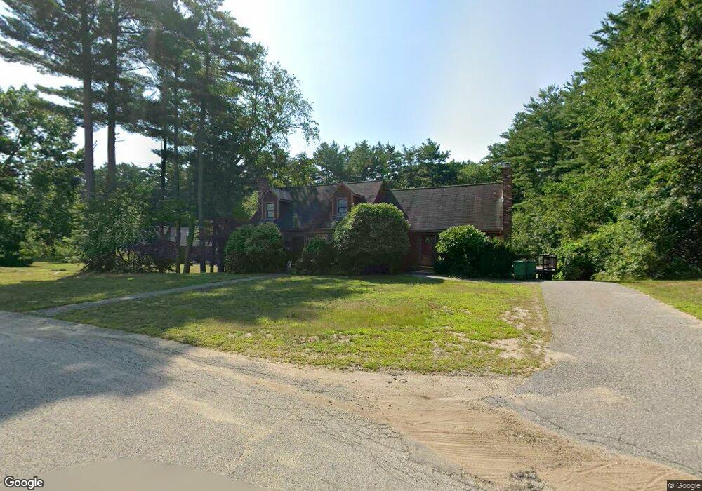
28 Packet Landing Unit B Pembroke, MA 02359
Estimated Value: $379,448 - $419,000
2
Beds
1
Bath
737
Sq Ft
$548/Sq Ft
Est. Value
About This Home
This home is located at 28 Packet Landing Unit B, Pembroke, MA 02359 and is currently estimated at $404,112, approximately $548 per square foot. 28 Packet Landing Unit B is a home located in Plymouth County with nearby schools including Pembroke High School, Cadence Academy Preschool - Hanover, and Cardinal Cushing Centers.
Ownership History
Date
Name
Owned For
Owner Type
Purchase Details
Closed on
Jul 10, 2014
Sold by
Count Michael E and Count Ann
Bought by
Curtis Mary K
Current Estimated Value
Home Financials for this Owner
Home Financials are based on the most recent Mortgage that was taken out on this home.
Original Mortgage
$140,000
Outstanding Balance
$106,478
Interest Rate
4.12%
Mortgage Type
New Conventional
Estimated Equity
$297,634
Purchase Details
Closed on
Oct 28, 2009
Sold by
Marston Philip W
Bought by
Count Michael E
Home Financials for this Owner
Home Financials are based on the most recent Mortgage that was taken out on this home.
Original Mortgage
$164,800
Interest Rate
5.06%
Mortgage Type
Purchase Money Mortgage
Create a Home Valuation Report for This Property
The Home Valuation Report is an in-depth analysis detailing your home's value as well as a comparison with similar homes in the area
Home Values in the Area
Average Home Value in this Area
Purchase History
| Date | Buyer | Sale Price | Title Company |
|---|---|---|---|
| Curtis Mary K | $200,000 | -- | |
| Count Michael E | $206,000 | -- |
Source: Public Records
Mortgage History
| Date | Status | Borrower | Loan Amount |
|---|---|---|---|
| Open | Curtis Mary K | $140,000 | |
| Previous Owner | Count Michael E | $164,800 | |
| Previous Owner | Count Michael E | $172,000 |
Source: Public Records
Tax History Compared to Growth
Tax History
| Year | Tax Paid | Tax Assessment Tax Assessment Total Assessment is a certain percentage of the fair market value that is determined by local assessors to be the total taxable value of land and additions on the property. | Land | Improvement |
|---|---|---|---|---|
| 2025 | $4,080 | $339,400 | $0 | $339,400 |
| 2024 | $3,911 | $325,100 | $0 | $325,100 |
| 2023 | $3,902 | $306,800 | $0 | $306,800 |
| 2022 | $3,850 | $272,100 | $0 | $272,100 |
| 2021 | $3,537 | $242,600 | $0 | $242,600 |
| 2020 | $3,814 | $263,200 | $0 | $263,200 |
| 2019 | $3,593 | $246,100 | $0 | $246,100 |
| 2018 | $3,350 | $225,000 | $0 | $225,000 |
| 2017 | $3,286 | $217,600 | $0 | $217,600 |
| 2016 | $2,858 | $187,300 | $0 | $187,300 |
| 2015 | $2,774 | $188,200 | $0 | $188,200 |
Source: Public Records
Map
Nearby Homes
- 218 Schoosett St
- 21 Union St
- 21 Chowdermarch St
- 5 Royal Dane Dr Unit 46
- 5 Royal Dane Dr Unit 45
- 10 Penstock Ln
- 55 Shipyard Ln
- 451 School St Unit 5-2
- 451 School St Unit 3-4
- 172 Washington St
- 261 Washington St
- 20 Meadow Brook Rd
- 34 Canonchet Trail
- 26 Church St
- 10 Shrine Rd
- 33 Barker Square Dr Unit 33
- 56 Wiltshire Ln
- 330 Pleasant St
- 899 Old Main Street Extension
- 2 Proprietors Dr Unit 23
- 28 Packet Landing Unit A
- 28 Packet Landing Unit 8-B
- 24 Packet Landing Unit B
- 24 Packet Landing Unit A
- 24A Packet Landing Unit A
- 22 Packet Landing Unit B
- 22 Packet Landing Unit A
- 22 Packet Landing Unit 6
- 22 Packet Landing Unit 22B
- 22 Packet Landing Unit 22A
- 31 Packet Landing Unit B
- 31 Packet Landing Unit A
- 31 Packet Landing Unit 31A
- 30 Packet Landing Unit B
- 30 Packet Landing Unit A
- 30 B Packet Landing Unit B
- 34 Packet Landing Unit B
- 34 Packet Landing Unit A
- 25A Packet Landing Unit 25A
- 25 Packet Landing Unit B