28 Point Breeze Rd Wolfeboro, NH 03894
Estimated Value: $720,090 - $947,000
3
Beds
3
Baths
1,772
Sq Ft
$483/Sq Ft
Est. Value
About This Home
This home is located at 28 Point Breeze Rd, Wolfeboro, NH 03894 and is currently estimated at $855,023, approximately $482 per square foot. 28 Point Breeze Rd is a home located in Carroll County with nearby schools including Crescent Lake School, Carpenter Elementary School, and Kingswood Regional Middle School.
Ownership History
Date
Name
Owned For
Owner Type
Purchase Details
Closed on
Jun 24, 1999
Sold by
Jean W Boyd 1985 Tr
Bought by
Steadman G P Rt
Current Estimated Value
Purchase Details
Closed on
Jun 3, 1998
Sold by
Muens Harold W and Muens Janet S
Bought by
Millner Bernard N
Home Financials for this Owner
Home Financials are based on the most recent Mortgage that was taken out on this home.
Original Mortgage
$83,900
Interest Rate
7.05%
Create a Home Valuation Report for This Property
The Home Valuation Report is an in-depth analysis detailing your home's value as well as a comparison with similar homes in the area
Home Values in the Area
Average Home Value in this Area
Purchase History
| Date | Buyer | Sale Price | Title Company |
|---|---|---|---|
| Steadman G P Rt | $245,000 | -- | |
| Millner Bernard N | $104,900 | -- |
Source: Public Records
Mortgage History
| Date | Status | Borrower | Loan Amount |
|---|---|---|---|
| Previous Owner | Millner Bernard N | $83,900 |
Source: Public Records
Tax History Compared to Growth
Tax History
| Year | Tax Paid | Tax Assessment Tax Assessment Total Assessment is a certain percentage of the fair market value that is determined by local assessors to be the total taxable value of land and additions on the property. | Land | Improvement |
|---|---|---|---|---|
| 2024 | $6,281 | $395,000 | $0 | $395,000 |
| 2023 | $5,803 | $395,000 | $0 | $395,000 |
| 2022 | $5,222 | $395,000 | $0 | $395,000 |
| 2021 | $5,400 | $395,000 | $0 | $395,000 |
| 2020 | $5,139 | $395,000 | $0 | $395,000 |
| 2019 | $5,870 | $370,600 | $0 | $370,600 |
| 2018 | $5,855 | $370,600 | $0 | $370,600 |
| 2017 | $5,552 | $370,600 | $0 | $370,600 |
| 2016 | $5,422 | $370,600 | $0 | $370,600 |
| 2015 | $6,198 | $444,300 | $0 | $444,300 |
| 2014 | $4,746 | $364,800 | $0 | $364,800 |
| 2013 | $4,680 | $364,800 | $0 | $364,800 |
Source: Public Records
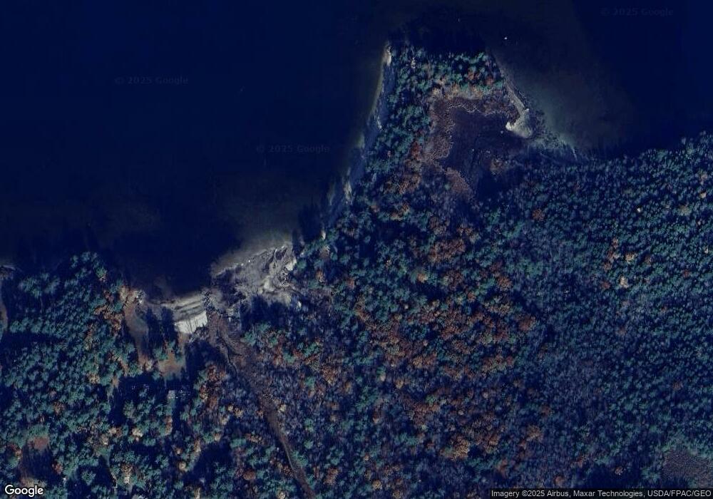
Map
Nearby Homes
- 0 Camp Rd Unit 5022980
- 475 Governor Wentworth Hwy
- 408 Governor Wentworth Hwy Unit 44
- 106 Middleton Rd
- 116 Middleton Rd
- 87 Middleton Rd
- 108 Whitten Neck Rd
- 87 Timberlane P
- 337 S Main St Unit Interval week 4 Janu
- 45 Winnipesaukee Dr
- 79 River St
- 18-8 Winnipesaukee Dr
- 267-23 Winnipesaukee Dr
- 00 Winnipesaukee Dr Unit 10
- 1237 Center St
- 00 Trask Mountain (Lot 3) Rd Unit 3
- 39 Winnipesaukee Dr
- 0 Long Stack Ln
- 5 Delings Cove Rd
- 23 Point Breeze Rd
- 27 Point Breeze Rd
- 25 Point Breeze Rd
- 30 Point Breeze Rd
- 32 Point Breeze Rd
- 34 Point Breeze Rd
- 34 Point Breeze Rd Unit 34
- 34 Point Breeze Rd Unit 36
- 29 Point Breeze Rd
- 33 Point Breeze Rd
- 36 Point Breeze Rd
- 35 Point Breeze Rd
- 38 Point Breeze Rd
- 40 Point Breeze Rd
- 37 Point Breeze Rd
- 39 Point Breeze Rd
- 26 Point Breeze Rd
- 21 Point Breeze Rd
- 9 Point Breeze Rd
- 24 Point Breeze Rd