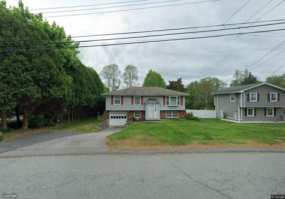
28 Polaris St Groton, CT 06340
Estimated Value: $394,000 - $445,000
3
Beds
3
Baths
2,026
Sq Ft
$206/Sq Ft
Est. Value
About This Home
This home is located at 28 Polaris St, Groton, CT 06340 and is currently estimated at $418,326, approximately $206 per square foot. 28 Polaris St is a home located in New London County with nearby schools including Pleasant Valley School, Groton Middle School, and Robert E. Fitch High School.
Ownership History
Date
Name
Owned For
Owner Type
Purchase Details
Closed on
Dec 1, 1987
Sold by
Gretzky Harold
Bought by
Upholz John
Current Estimated Value
Home Financials for this Owner
Home Financials are based on the most recent Mortgage that was taken out on this home.
Original Mortgage
$117,000
Interest Rate
11.59%
Create a Home Valuation Report for This Property
The Home Valuation Report is an in-depth analysis detailing your home's value as well as a comparison with similar homes in the area
Home Values in the Area
Average Home Value in this Area
Purchase History
| Date | Buyer | Sale Price | Title Company |
|---|---|---|---|
| Upholz John | $130,000 | -- |
Source: Public Records
Mortgage History
| Date | Status | Borrower | Loan Amount |
|---|---|---|---|
| Open | Upholz John | $116,000 | |
| Closed | Upholz John | $70,000 | |
| Closed | Upholz John | $87,100 | |
| Closed | Upholz John | $117,000 |
Source: Public Records
Tax History Compared to Growth
Tax History
| Year | Tax Paid | Tax Assessment Tax Assessment Total Assessment is a certain percentage of the fair market value that is determined by local assessors to be the total taxable value of land and additions on the property. | Land | Improvement |
|---|---|---|---|---|
| 2025 | $5,162 | $182,000 | $82,824 | $99,176 |
| 2024 | $4,874 | $182,000 | $82,824 | $99,176 |
| 2023 | $4,696 | $182,000 | $40,320 | $141,680 |
| 2022 | $4,581 | $182,000 | $40,320 | $141,680 |
| 2021 | $4,560 | $152,460 | $40,320 | $112,140 |
| 2020 | $4,571 | $152,460 | $40,320 | $112,140 |
| 2019 | $4,385 | $152,460 | $40,320 | $112,140 |
| 2018 | $4,368 | $152,460 | $40,320 | $112,140 |
| 2017 | $4,136 | $152,460 | $40,320 | $112,140 |
| 2016 | $4,166 | $163,170 | $53,270 | $109,900 |
| 2015 | $4,032 | $163,170 | $53,270 | $109,900 |
| 2014 | $3,880 | $163,170 | $53,270 | $109,900 |
Source: Public Records
Map
Nearby Homes
- 621 Military Hwy
- 95 Murphys Dr Unit 95
- 1260 Route 12
- 297 Lestertown Rd
- 62 Benham Ave
- 22 Toll Gate Rd
- 21 Grove Ave
- 9 James Ave
- 330 Crystal Ave Unit 3
- 69 Rosemary St
- 64 Scotch Cap Rd Unit 102
- 18 Richards Grove Rd
- 517-571 Gold Star Hwy
- 1010 Long Cove Rd
- 132 Thames St Unit R
- 205 Winding Hollow Rd
- 1513 Connecticut 12
- 130 Meridian St Unit 313
- 30 Margaret St
- 136 Meridian St Unit 110
- 36 Polaris St
- 22 Whittaker Ln
- 7 Whittaker Ln
- 10 Polaris St
- 44 Polaris St
- 7 Pegasus Dr
- 30 Whittaker Ln
- 23 Whittaker Ln
- 13 Whittaker Ln
- 10 Pegasus Dr
- Lot 8 Whittaker Ln
- LOT 1 Whittaker Ln
- Lot 7 Whittaker Ln
- 7 Polaris St
- 29 Whittaker Ln
- 15 Pegasus Dr
- 42 Whittaker Ln
- 37 Whittaker Ln
- 194 Virgo Dr
- 230 Virgo Dr