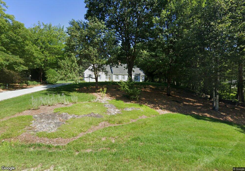
28 Range Rd Goffstown, NH 03045
Estimated Value: $678,000 - $755,000
3
Beds
4
Baths
2,644
Sq Ft
$271/Sq Ft
Est. Value
About This Home
This home is located at 28 Range Rd, Goffstown, NH 03045 and is currently estimated at $717,142, approximately $271 per square foot. 28 Range Rd is a home with nearby schools including Mountain View Middle School and Goffstown High School.
Create a Home Valuation Report for This Property
The Home Valuation Report is an in-depth analysis detailing your home's value as well as a comparison with similar homes in the area
Home Values in the Area
Average Home Value in this Area
Tax History
| Year | Tax Paid | Tax Assessment Tax Assessment Total Assessment is a certain percentage of the fair market value that is determined by local assessors to be the total taxable value of land and additions on the property. | Land | Improvement |
|---|---|---|---|---|
| 2025 | $12,534 | $600,300 | $210,200 | $390,100 |
| 2024 | $12,270 | $600,300 | $210,200 | $390,100 |
| 2023 | $11,322 | $600,300 | $210,200 | $390,100 |
| 2022 | $10,603 | $403,000 | $138,600 | $264,400 |
| 2021 | $10,002 | $403,000 | $138,600 | $264,400 |
| 2020 | $10,002 | $403,000 | $138,600 | $264,400 |
| 2019 | $9,906 | $403,000 | $138,600 | $264,400 |
| 2018 | $7,496 | $403,000 | $138,600 | $264,400 |
| 2017 | $9,794 | $357,200 | $115,100 | $242,100 |
| 2016 | $9,441 | $357,200 | $115,100 | $242,100 |
| 2015 | $9,527 | $338,300 | $107,700 | $230,600 |
| 2014 | $9,134 | $338,300 | $107,700 | $230,600 |
Source: Public Records
Map
Nearby Homes
- 30 Horizon Dr
- 234 Paige Hill Rd
- 5D Dearborn Cir
- 144 S Mast St
- 140 S Mast St
- 30 Ledgewood Dr
- 120 S Mast St
- 9 Maple Ave
- 19 My Way
- 47 E Union St
- 179 Donald Dr
- 10 Autumn St
- 73 River Ledge Dr
- 211 Woodview Way
- 0 Mast Rd Unit 49 5054665
- 500 E Dunbarton Rd
- 264 Woodview Way
- 109 Woodview Way
- 25 Forestedge Way Unit 25
- 0 Fairway Dr Unit 11
Your Personal Tour Guide
Ask me questions while you tour the home.