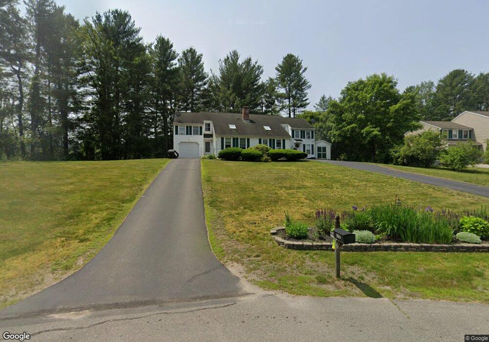
28 Reed St Unit A Londonderry, NH 03053
Estimated Value: $358,000 - $442,000
2
Beds
2
Baths
1,424
Sq Ft
$284/Sq Ft
Est. Value
About This Home
This home is located at 28 Reed St Unit A, Londonderry, NH 03053 and is currently estimated at $403,709, approximately $283 per square foot. 28 Reed St Unit A is a home located in Rockingham County with nearby schools including Londonderry Middle School, Londonderry Senior High School, and Southern New Hampshire Montessori Academy.
Ownership History
Date
Name
Owned For
Owner Type
Purchase Details
Closed on
Feb 1, 2016
Sold by
Leblanc Philip A
Bought by
Philcrantz Ft and Philcrantz Neil D
Current Estimated Value
Home Financials for this Owner
Home Financials are based on the most recent Mortgage that was taken out on this home.
Original Mortgage
$100,000
Outstanding Balance
$79,770
Interest Rate
3.97%
Estimated Equity
$323,939
Create a Home Valuation Report for This Property
The Home Valuation Report is an in-depth analysis detailing your home's value as well as a comparison with similar homes in the area
Home Values in the Area
Average Home Value in this Area
Purchase History
| Date | Buyer | Sale Price | Title Company |
|---|---|---|---|
| Philcrantz Ft | $195,000 | -- |
Source: Public Records
Mortgage History
| Date | Status | Borrower | Loan Amount |
|---|---|---|---|
| Open | Philcrantz Ft | $100,000 |
Source: Public Records
Tax History Compared to Growth
Tax History
| Year | Tax Paid | Tax Assessment Tax Assessment Total Assessment is a certain percentage of the fair market value that is determined by local assessors to be the total taxable value of land and additions on the property. | Land | Improvement |
|---|---|---|---|---|
| 2024 | $5,094 | $315,600 | $0 | $315,600 |
| 2023 | $4,939 | $315,600 | $0 | $315,600 |
| 2022 | $4,439 | $240,200 | $0 | $240,200 |
| 2021 | $4,415 | $240,200 | $0 | $240,200 |
| 2020 | $4,949 | $246,100 | $108,300 | $137,800 |
| 2019 | $4,772 | $246,100 | $108,300 | $137,800 |
| 2018 | $4,343 | $199,200 | $89,700 | $109,500 |
| 2017 | $4,305 | $199,200 | $89,700 | $109,500 |
| 2016 | $4,283 | $199,200 | $89,700 | $109,500 |
| 2015 | $4,151 | $197,500 | $89,700 | $107,800 |
| 2014 | $4,165 | $197,500 | $89,700 | $107,800 |
| 2011 | -- | $215,300 | $89,700 | $125,600 |
Source: Public Records
Map
Nearby Homes
- 5 Elise Ave Unit Lot 94
- 14 Reed St
- 14 Mohawk Dr
- 74 Boulder Dr Unit 74
- 7 Oakwood St
- 12 Morrison Dr
- 171 Londonderry Rd
- 21 Lincoln Dr
- 24 Sheffield Way
- 149 Londonderry Rd
- 3 Elise Ave Unit 95
- 31 Midridge Cir
- 13 Gamache Rd
- 14 Elise Ave Unit 7
- 83 Beech Terrace
- 12 Elise Ave Unit 6
- 111 Winterwood Dr
- 34 Pleasant Dr
- 8 Elise Ave Unit Lot 4
- 7 Elise Ave Unit Lot 93
- 28 Reed St Unit B
- 28 Reed St Unit 2
- 28A Reed St Unit 1
- 26B Reed St Unit B
- 24 Reed St Unit A
- 24A Reed St Unit A
- 24A Reed St
- 24 Reed St Unit B
- 22a Reed St Unit 22
- 22 Reed St Unit 22b
- 22 Reed St
- 23 Reed St
- 23 Reed St Unit B
- 32 Mohawk Dr Unit B
- 21 Reed St Unit 21B
- 21A Reed St Unit 21A
- 21A Reed St
- 10 Birchwood Dr
- 27 Mohawk Dr
- 27 Mohawk Dr Unit A