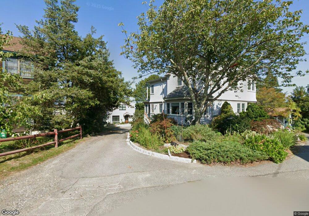
28 Riggs Point Rd Gloucester, MA 01930
Estimated Value: $575,000 - $1,315,288
2
Beds
1
Bath
828
Sq Ft
$1,311/Sq Ft
Est. Value
About This Home
This home is located at 28 Riggs Point Rd, Gloucester, MA 01930 and is currently estimated at $1,085,322, approximately $1,310 per square foot. 28 Riggs Point Rd is a home located in Essex County with nearby schools including Plum Cove School, Ralph B O'maley Middle School, and Gloucester High School.
Ownership History
Date
Name
Owned For
Owner Type
Purchase Details
Closed on
Jul 25, 2023
Sold by
Derosa Charles
Bought by
Charles A Derosa Ret and Derosa
Current Estimated Value
Purchase Details
Closed on
May 2, 1995
Sold by
Hatch Sally Ann
Bought by
Mcdougall John
Purchase Details
Closed on
May 22, 1986
Bought by
Derosa Charles
Create a Home Valuation Report for This Property
The Home Valuation Report is an in-depth analysis detailing your home's value as well as a comparison with similar homes in the area
Purchase History
| Date | Buyer | Sale Price | Title Company |
|---|---|---|---|
| Charles A Derosa Ret | -- | None Available | |
| Mcdougall John | $100,000 | -- | |
| Derosa Charles | $19,300 | -- |
Source: Public Records
Tax History
| Year | Tax Paid | Tax Assessment Tax Assessment Total Assessment is a certain percentage of the fair market value that is determined by local assessors to be the total taxable value of land and additions on the property. | Land | Improvement |
|---|---|---|---|---|
| 2025 | $11,705 | $1,204,200 | $990,800 | $213,400 |
| 2024 | $11,146 | $1,145,500 | $943,500 | $202,000 |
| 2023 | $10,533 | $994,600 | $804,700 | $189,900 |
| 2022 | $10,092 | $860,400 | $700,300 | $160,100 |
| 2021 | $9,851 | $791,900 | $636,600 | $155,300 |
| 2020 | $9,532 | $773,100 | $636,600 | $136,500 |
| 2019 | $9,292 | $732,200 | $607,000 | $125,200 |
| 2018 | $9,148 | $707,500 | $592,200 | $115,300 |
| 2017 | $8,889 | $673,900 | $563,700 | $110,200 |
| 2016 | $8,567 | $629,500 | $539,300 | $90,200 |
| 2015 | $8,542 | $625,800 | $527,000 | $98,800 |
Source: Public Records
Map
Nearby Homes
- 2 Breezy Point Rd
- 672 Washington St
- 3 Deacon Farm Ln
- 13 Honeysuckle Rd
- 31 Echo Ave
- 226 Atlantic St
- 178 Atlantic St
- 167 Atlantic St
- 136 Leonard St
- 4 Ciaramitaro Ct
- 13 Mystic Ave
- 3 Rockland St
- 8 Mystic Ave
- 6 Monroe Ct
- 98 Maplewood Ave
- 12 Arthur St
- 9 Cleveland Place
- 40 Sargent St
- 19 Trask St Unit 2
- 50 Warner St
- 24 Riggs Point Rd
- 24 Riggs Point Rd Unit WINTER
- 24 Riggs Point Road Winter
- 24 Riggs Point Road Winter Unit WINTER
- 26 Riggs Point Rd
- 22 Riggs Point Rd
- 19 Riggs Point Rd
- 15 Riggs Point Rd
- 18 Riggs Point Rd
- 20 Riggs Point Rd
- 17 Riggs Point Rd
- 16 Riggs Point Rd
- 21 Riggs Point Rd
- 14 Riggs Point Rd
- 90 Riggs Point Rd
- 12 Riggs Point Rd
- 50 Vine St
- 10 Riggs Point Rd
- 11 Riggs Point Rd
- 47 Vine St
Your Personal Tour Guide
Ask me questions while you tour the home.