28 Riverside Ln West Bath, ME 04530
Estimated Value: $809,000 - $1,373,313
3
Beds
3
Baths
1,916
Sq Ft
$590/Sq Ft
Est. Value
About This Home
This home is located at 28 Riverside Ln, West Bath, ME 04530 and is currently estimated at $1,130,578, approximately $590 per square foot. 28 Riverside Ln is a home located in Sagadahoc County with nearby schools including Morse High School.
Ownership History
Date
Name
Owned For
Owner Type
Purchase Details
Closed on
Jan 22, 2008
Sold by
Hurd Nancy D and Dodge William S
Bought by
Hurd Nancy D and Hurd Robert L
Current Estimated Value
Home Financials for this Owner
Home Financials are based on the most recent Mortgage that was taken out on this home.
Original Mortgage
$373,000
Outstanding Balance
$232,124
Interest Rate
5.72%
Mortgage Type
Unknown
Estimated Equity
$898,454
Create a Home Valuation Report for This Property
The Home Valuation Report is an in-depth analysis detailing your home's value as well as a comparison with similar homes in the area
Home Values in the Area
Average Home Value in this Area
Purchase History
| Date | Buyer | Sale Price | Title Company |
|---|---|---|---|
| Hurd Nancy D | -- | -- |
Source: Public Records
Mortgage History
| Date | Status | Borrower | Loan Amount |
|---|---|---|---|
| Open | Hurd Nancy D | $373,000 |
Source: Public Records
Tax History Compared to Growth
Tax History
| Year | Tax Paid | Tax Assessment Tax Assessment Total Assessment is a certain percentage of the fair market value that is determined by local assessors to be the total taxable value of land and additions on the property. | Land | Improvement |
|---|---|---|---|---|
| 2024 | $11,895 | $1,450,600 | $1,006,700 | $443,900 |
| 2023 | $9,864 | $1,450,600 | $1,006,700 | $443,900 |
| 2022 | $10,487 | $980,100 | $740,300 | $239,800 |
| 2021 | $10,291 | $980,100 | $740,300 | $239,800 |
| 2020 | $9,387 | $894,000 | $674,500 | $219,500 |
| 2019 | $9,953 | $947,900 | $728,400 | $219,500 |
| 2018 | $10,522 | $947,900 | $728,400 | $219,500 |
| 2017 | $10,616 | $947,900 | $728,400 | $219,500 |
| 2016 | $9,669 | $947,900 | $728,400 | $219,500 |
| 2015 | $9,858 | $947,900 | $728,400 | $219,500 |
| 2014 | $9,669 | $947,900 | $728,400 | $219,500 |
| 2013 | $9,621 | $947,900 | $728,400 | $219,500 |
Source: Public Records
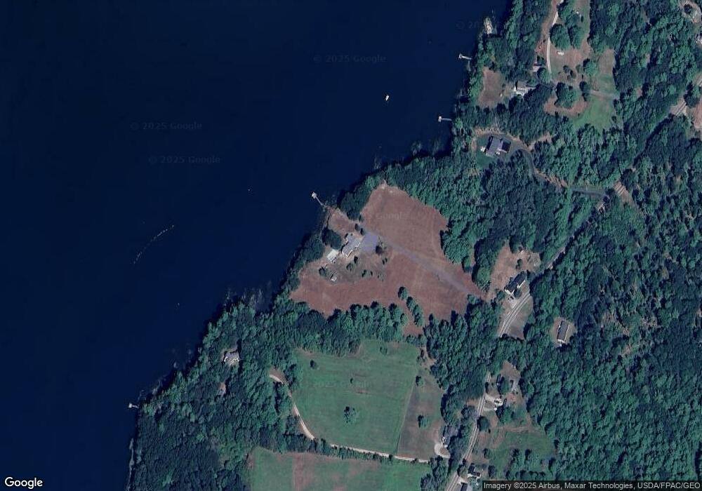
Map
Nearby Homes
- Lot 27 Howards Point Ln
- 60 Rosedale Rd
- 47 Cluf Bay Rd
- 51 & 53 Rock Haven Dr
- 19 Ward Cir
- 38 Ward Cir
- 6 Balsam Ave
- Lot 18 Beacon Dr
- Lot 11 Beacon Dr
- Lot 23 Beacon Dr
- 11 Beacon Dr
- 31 Beacon Dr
- 2 Chickadee Cir Unit 2
- 260 Coombs Rd
- 11 Neptune Dr
- 15 Neptune Dr
- 42 Guadalcanal St Unit 42
- 106 Rita Way
- 29 & 30 Nob Hill Ave
- 646 Gurnet Rd
- 29 Heron Reach Way
- 413 Fosters Point Rd
- 00 7b Foster Point Rd
- R04 7-B Foster Point Rd
- 439 Fosters Point Rd
- 428 Fosters Point Rd
- 22 Spruce Way
- 88 Fosters Point Rd
- 3 Broad Cove
- 444 Fosters Point Rd
- 38 Spruce Way
- 0 Fosters Point Rd
- 376 Fosters Point Rd
- 363 Fosters Point Rd
- 33 Davenport Center Rd
- 359 Fosters Point Rd
- 98 Point Rd
- 479 Fosters Point Rd
- 10-12 Renshaw Dr
- 480 Fosters Point Rd