28 Robinson Way Lewistown, MT 59457
Estimated Value: $888,572 - $1,009,000
5
Beds
4
Baths
3,519
Sq Ft
$270/Sq Ft
Est. Value
About This Home
This home is located at 28 Robinson Way, Lewistown, MT 59457 and is currently estimated at $948,786, approximately $269 per square foot. 28 Robinson Way is a home located in Fergus County with nearby schools including Fergus High School.
Ownership History
Date
Name
Owned For
Owner Type
Purchase Details
Closed on
May 25, 2022
Sold by
Michael Kindzerski
Bought by
Hofer Bryce
Current Estimated Value
Home Financials for this Owner
Home Financials are based on the most recent Mortgage that was taken out on this home.
Original Mortgage
$550,000
Outstanding Balance
$535,280
Interest Rate
5.25%
Mortgage Type
New Conventional
Estimated Equity
$413,506
Purchase Details
Closed on
Jan 1, 2000
Bought by
Kindzerski Michael
Home Financials for this Owner
Home Financials are based on the most recent Mortgage that was taken out on this home.
Original Mortgage
$402,160
Interest Rate
7.68%
Mortgage Type
New Conventional
Create a Home Valuation Report for This Property
The Home Valuation Report is an in-depth analysis detailing your home's value as well as a comparison with similar homes in the area
Home Values in the Area
Average Home Value in this Area
Purchase History
| Date | Buyer | Sale Price | Title Company |
|---|---|---|---|
| Hofer Bryce | -- | None Listed On Document | |
| Kindzerski Michael | -- | -- |
Source: Public Records
Mortgage History
| Date | Status | Borrower | Loan Amount |
|---|---|---|---|
| Open | Hofer Bryce | $550,000 | |
| Previous Owner | Kindzerski Michael | $402,160 | |
| Closed | Kindzerski Michael | $374,000 |
Source: Public Records
Tax History Compared to Growth
Tax History
| Year | Tax Paid | Tax Assessment Tax Assessment Total Assessment is a certain percentage of the fair market value that is determined by local assessors to be the total taxable value of land and additions on the property. | Land | Improvement |
|---|---|---|---|---|
| 2025 | $4,779 | $992,700 | $0 | $0 |
| 2024 | $4,322 | $684,400 | $0 | $0 |
| 2023 | $3,906 | $684,400 | $0 | $0 |
| 2022 | $4,155 | $614,902 | $0 | $0 |
| 2021 | $4,197 | $614,902 | $0 | $0 |
| 2020 | $4,140 | $600,161 | $0 | $0 |
| 2019 | $4,112 | $600,161 | $0 | $0 |
| 2018 | $4,130 | $585,406 | $0 | $0 |
| 2017 | $3,884 | $585,406 | $0 | $0 |
| 2016 | $3,945 | $587,800 | $0 | $0 |
| 2015 | $3,914 | $587,800 | $0 | $0 |
| 2014 | $3,610 | $306,075 | $0 | $0 |
Source: Public Records
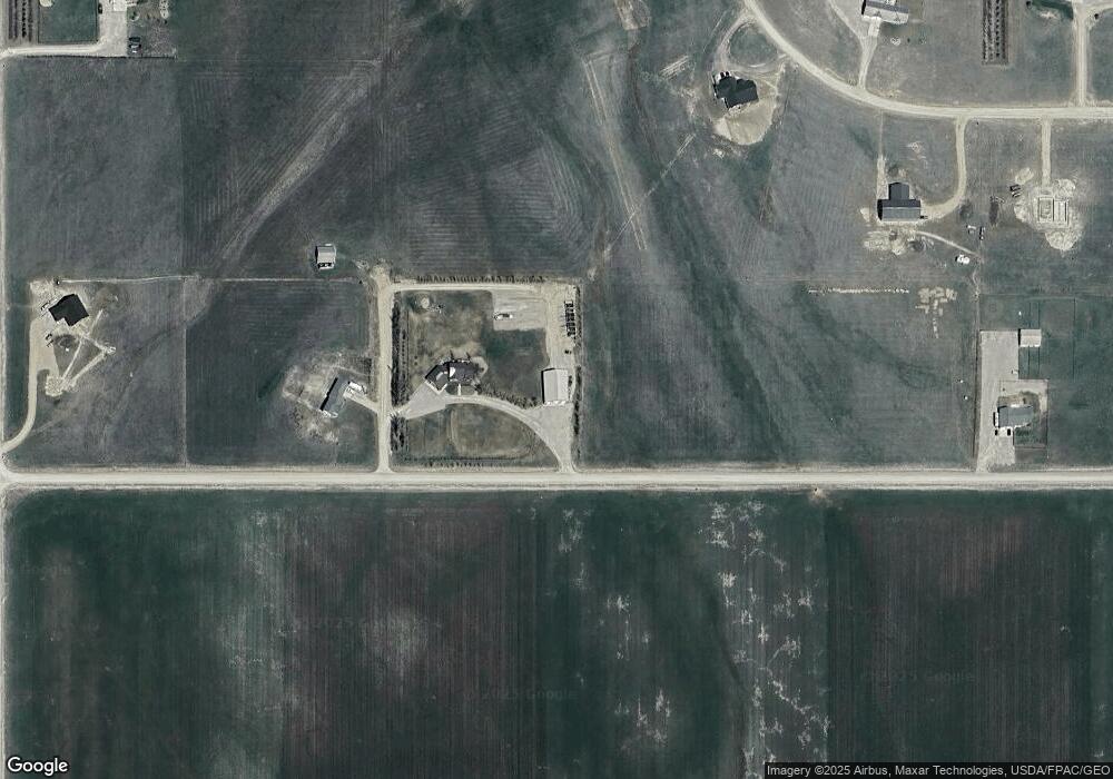
Map
Nearby Homes
- 1518 Scott Crossing
- 107 Sky Brook Ln N
- Nhn Hwy 191
- 706 Vrooman St
- 0 Tbd Unit 20682760
- 0 Tbd Unit 11290776
- 501 Wright St
- 414 Warr St
- NHN A St
- NHN Truck Bypass
- TBD Truck Bypass
- 35 acres Truck Bypass
- 105 Hillcrest Dr
- 1014 Mountain View Dr
- 412 W Huron St
- 1220 W Main St
- 113 15th Ave S
- 1011 W Broadway St
- 313 W Idaho St
- 628 Mountain View Dr
- 31 Robinson Way
- 1268 Scott Crossing S
- 2200 Valach Rd
- 400 Arrowhead Dr
- 532 Arrowhead Dr
- 308 Arrowhead Dr
- 134 Lone Pine Ln
- 209 Lone Pine Ln
- 101 Arrowhead Dr
- 113 Lone Pine Ln
- 265 Lone Pine Ln
- 105 Diamond Ln
- 20 Arrowhead Dr
- 168 Arrowhead Dr
- 631 Lone Pine Dr
- 221 Scott Crossing N
- 502 Lone Pine Ln
- 590 Lone Pine Ln
- 1600 Scott Crossing S
- Lot #3 Lone Pine Ln