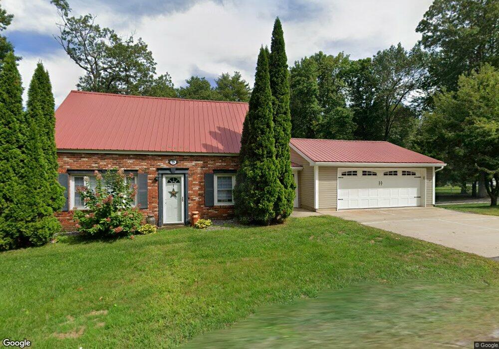
28 S Depot Rd Hollis, NH 03049
West Hollis NeighborhoodEstimated Value: $458,000 - $553,000
2
Beds
2
Baths
1,127
Sq Ft
$450/Sq Ft
Est. Value
About This Home
This home is located at 28 S Depot Rd, Hollis, NH 03049 and is currently estimated at $507,547, approximately $450 per square foot. 28 S Depot Rd is a home with nearby schools including Hollis Primary School, Hollis Upper Elementary School, and Hollis-Brookline Middle School.
Ownership History
Date
Name
Owned For
Owner Type
Purchase Details
Closed on
Jun 4, 2004
Sold by
Alpine Ridge Golf Llc
Bought by
Goupil Marc J
Current Estimated Value
Home Financials for this Owner
Home Financials are based on the most recent Mortgage that was taken out on this home.
Original Mortgage
$177,200
Interest Rate
5.94%
Mortgage Type
Purchase Money Mortgage
Purchase Details
Closed on
Apr 26, 1999
Sold by
Michaud Benoit E and Michaud Leona F
Bought by
Alpine Ridge Golf Llc
Create a Home Valuation Report for This Property
The Home Valuation Report is an in-depth analysis detailing your home's value as well as a comparison with similar homes in the area
Home Values in the Area
Average Home Value in this Area
Purchase History
| Date | Buyer | Sale Price | Title Company |
|---|---|---|---|
| Goupil Marc J | $221,600 | -- | |
| Alpine Ridge Golf Llc | $165,000 | -- |
Source: Public Records
Mortgage History
| Date | Status | Borrower | Loan Amount |
|---|---|---|---|
| Open | Alpine Ridge Golf Llc | $196,500 | |
| Closed | Alpine Ridge Golf Llc | $38,000 | |
| Closed | Alpine Ridge Golf Llc | $177,200 |
Source: Public Records
Tax History Compared to Growth
Tax History
| Year | Tax Paid | Tax Assessment Tax Assessment Total Assessment is a certain percentage of the fair market value that is determined by local assessors to be the total taxable value of land and additions on the property. | Land | Improvement |
|---|---|---|---|---|
| 2024 | $7,369 | $415,600 | $225,400 | $190,200 |
| 2023 | $6,924 | $415,600 | $225,400 | $190,200 |
| 2022 | $9,380 | $415,600 | $225,400 | $190,200 |
| 2021 | $6,022 | $265,300 | $147,900 | $117,400 |
| 2020 | $6,150 | $265,300 | $147,900 | $117,400 |
| 2019 | $5,727 | $265,300 | $147,900 | $117,400 |
| 2018 | $5,749 | $265,300 | $147,900 | $117,400 |
| 2017 | $5,341 | $230,700 | $125,900 | $104,800 |
| 2016 | $5,405 | $230,700 | $125,900 | $104,800 |
| 2015 | $5,311 | $230,700 | $125,900 | $104,800 |
| 2014 | $5,336 | $230,700 | $125,900 | $104,800 |
| 2013 | $5,265 | $230,700 | $125,900 | $104,800 |
Source: Public Records
Map
Nearby Homes
- 29 S Depot Rd
- 24 S Depot Rd
- 32 S Depot Rd
- 33 S Depot Rd
- 8 Cross Rd Unit 8
- 39 S Depot Rd
- 31 S Depot Rd
- 12 Rail Way Unit 12
- 12 Rail Way
- 19 Old Runnells Bridge Rd
- 10 Rail Way
- 8 Rail Way Unit 2
- 4 Rail Way Unit 4
- 15 Old Runnells Bridge Rd
- 2 Rail Way Unit 2
- 2 Rail Way
- 47 S Depot Rd
- 17 Old Runnells Bridge Rd
- 1 Old Runnells Bridge Rd
- 1 Old Runnells Bridge Rd