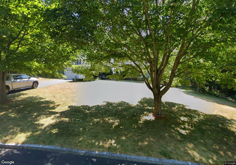
28 Samuel Harrington Rd Westborough, MA 01581
Estimated Value: $1,272,766 - $1,405,000
4
Beds
3
Baths
3,837
Sq Ft
$350/Sq Ft
Est. Value
About This Home
This home is located at 28 Samuel Harrington Rd, Westborough, MA 01581 and is currently estimated at $1,343,922, approximately $350 per square foot. 28 Samuel Harrington Rd is a home located in Worcester County with nearby schools including Westborough High School, Advanced Math & Science Academy, and Westboro Knowledge Beginnings.
Ownership History
Date
Name
Owned For
Owner Type
Purchase Details
Closed on
Jun 26, 2009
Sold by
Spiegel Wayne and Spiegel Jane M
Bought by
Wang Yan and Cheng Jianbo
Current Estimated Value
Purchase Details
Closed on
Apr 15, 1994
Sold by
Carrageen Dev Corp
Bought by
Spiegel Wayne and Spiegel Jane
Create a Home Valuation Report for This Property
The Home Valuation Report is an in-depth analysis detailing your home's value as well as a comparison with similar homes in the area
Home Values in the Area
Average Home Value in this Area
Purchase History
| Date | Buyer | Sale Price | Title Company |
|---|---|---|---|
| Wang Yan | $645,000 | -- | |
| Spiegel Wayne | $394,865 | -- |
Source: Public Records
Mortgage History
| Date | Status | Borrower | Loan Amount |
|---|---|---|---|
| Open | Spiegel Wayne | $100,000 | |
| Open | Spiegel Wayne | $417,000 | |
| Closed | Spiegel Wayne | $100,001 |
Source: Public Records
Tax History Compared to Growth
Tax History
| Year | Tax Paid | Tax Assessment Tax Assessment Total Assessment is a certain percentage of the fair market value that is determined by local assessors to be the total taxable value of land and additions on the property. | Land | Improvement |
|---|---|---|---|---|
| 2025 | $16,852 | $1,034,500 | $358,100 | $676,400 |
| 2024 | $16,064 | $978,900 | $340,800 | $638,100 |
| 2023 | $14,843 | $881,400 | $321,600 | $559,800 |
| 2022 | $13,797 | $746,200 | $256,100 | $490,100 |
| 2021 | $13,642 | $735,800 | $245,700 | $490,100 |
| 2020 | $13,526 | $738,300 | $260,100 | $478,200 |
| 2019 | $13,551 | $739,300 | $256,000 | $483,300 |
| 2018 | $12,584 | $681,700 | $245,700 | $436,000 |
| 2017 | $12,134 | $681,700 | $245,700 | $436,000 |
| 2016 | $12,190 | $686,000 | $245,700 | $440,300 |
| 2015 | $11,691 | $628,900 | $217,100 | $411,800 |
Source: Public Records
Map
Nearby Homes
- 8 Samuel Harrington Rd
- 6 Walker St
- 28 Crestview Dr
- 8 Rock Spring Ln
- 3112 Peters Farm Way Unit 112
- 11302 Peters Farm Way Unit 11302
- 3102 Peters Farm Way Unit 102
- 12302 Peters Farm Way Unit 302
- 2 Talbot Way Unit 2103
- 2 Talbot Way Unit 2208
- 11101 Peters Farm Way Unit 101
- 5 Peters Farm Way Unit 106
- 5 Peters Farm Way Unit 406
- 5 Peters Farm Way Unit 113
- 5 Peters Farm Way Unit 105
- 5 Peters Farm Way Unit 213
- 5 Peters Farm Way Unit 212
- 2 Codman Way Unit 409
- 2 Codman Way Unit 113
- 2 Codman Way Unit 110
- 30 Samuel Harrington Rd
- 26 Samuel Harrington Rd
- 15 Samuel Harrington Rd
- 32 Samuel Harrington Rd
- 11 Samuel Harrington Rd
- 24 Samuel Harrington Rd
- 7 Samuel Harrington Rd
- 9 Samuel Harrington Rd
- 5 Samuel Harrington Rd
- 10 Walker St
- 10 Walker St
- 10A Walker St
- 22 Samuel Harrington Rd
- 3 Samuel Harrington Rd
- 2 John Pratt Cir
- 12 Jacob Amsden Rd
- 10 Samuel Harrington Rd
- 12 Samuel Harrington Rd
- 18A Walker St
- 20 Samuel Harrington Rd
