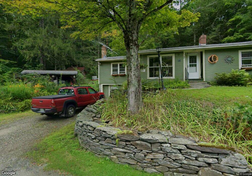
28 Shephard Rd Charlemont, MA 01339
Buckland NeighborhoodEstimated Value: $274,624 - $358,000
About This Home
This home is located at 28 Shephard Rd, Charlemont, MA 01339 and is currently estimated at $313,656, approximately $273 per square foot. 28 Shephard Rd is a home with nearby schools including Mohawk Trail Regional High School.
Ownership History
We collect this data history from publicly available records. To have your information removed, we recommend requesting removal directly through your county’s website.
Purchase Details
Purchase Details
Home Values in the Area
Average Home Value in this Area
Purchase History
We collect this data history from publicly available records. To have your information removed, we recommend requesting removal directly through your county’s website.
| Date | Buyer | Sale Price | Title Company |
|---|---|---|---|
| $22,000 | -- | ||
| $82,000 | -- |
Mortgage History
We collect this data history from publicly available records. To have your information removed, we recommend requesting removal directly through your county’s website.
| Date | Status | Borrower | Loan Amount |
|---|---|---|---|
| Closed | $120,000 | ||
| Closed | $118,400 |
Tax History
We collect this data history from publicly available records. To have your information removed, we recommend requesting removal directly through your county’s website.
| Year | Tax Paid | Tax Assessment Tax Assessment Total Assessment is a certain percentage of the fair market value that is determined by local assessors to be the total taxable value of land and additions on the property. | Land | Improvement |
|---|---|---|---|---|
| 2025 | $3,891 | $229,700 | $47,400 | $182,300 |
| 2024 | $3,837 | $218,500 | $47,400 | $171,100 |
| 2023 | $3,332 | $196,700 | $47,400 | $149,300 |
| 2022 | $3,301 | $196,700 | $47,400 | $149,300 |
| 2021 | $3,111 | $174,400 | $47,400 | $127,000 |
| 2020 | $2,991 | $161,500 | $47,400 | $114,100 |
| 2019 | $2,824 | $151,600 | $47,400 | $104,200 |
| 2018 | $2,765 | $146,700 | $47,400 | $99,300 |
| 2017 | $2,648 | $146,700 | $47,400 | $99,300 |
| 2016 | $2,500 | $147,900 | $47,400 | $100,500 |
| 2015 | $2,485 | $147,900 | $47,400 | $100,500 |
Map
- 55 Orcutt Hill Rd
- 15 Orcutt Hill Rd
- 200 Lower St
- 2 Cross St
- 3 Hog Hollow Rd
- Lot 60 Apple Valley Rd
- 31 W Oxbow Rd
- 0, Lot 7 East Rd
- Lot 3.2 East Rd
- 24 W Oxbow Rd
- 120 Bray Rd
- 486 Old Stage Rd
- 7 E Buckland Rd
- 0 Hawk Hill Rd Unit 73524208
- Lot 23-25 Hawk Hill Rd
- 0 Old Stage Rd Unit 73528367
- 11 Bray Rd
- 2151 Route 2
- 15 School St
- 2155 Massachusetts 2
- 30 Shephard Rd
- 38 Shephard Rd
- 78 Clesson Brook Rd
- 0 Avery Rd L:60
- 73 Avery Rd
- 0 Street Unit 73373547
- 10 Walker Rd
- 1 Shephard Rd
- 65 Avery Rd
- 65 Avery Rd
- Lot 1 Orcutt Hill Rd L:1
- 72 Clesson Brook Rd
- 51 Orcutt Hill Rd
- 92 Clesson Brook Rd
- 68 Avery Rd
- 49 Avery Rd
- 96 Clesson Brook Rd
- 27 Orcutt Hill Rd
- 63 Shephard Rd
- 100 Clesson Brook Rd
Ask me questions while you tour the home.