28 Snyder Dr Wharton, NJ 07885
Estimated Value: $605,000 - $807,000
--
Bed
--
Bath
2,310
Sq Ft
$308/Sq Ft
Est. Value
About This Home
This home is located at 28 Snyder Dr, Wharton, NJ 07885 and is currently estimated at $712,217, approximately $308 per square foot. 28 Snyder Dr is a home located in Morris County with nearby schools including Catherine A. Dwyer Elementary School, Copeland Middle School, and Divine Mercy Academy.
Ownership History
Date
Name
Owned For
Owner Type
Purchase Details
Closed on
Sep 11, 1997
Sold by
Reed Susan Nebel and Nebel Susan Kerwin
Bought by
Gygax Andrew A and Gygax Janet Opiekun
Current Estimated Value
Home Financials for this Owner
Home Financials are based on the most recent Mortgage that was taken out on this home.
Original Mortgage
$115,000
Interest Rate
7.75%
Create a Home Valuation Report for This Property
The Home Valuation Report is an in-depth analysis detailing your home's value as well as a comparison with similar homes in the area
Home Values in the Area
Average Home Value in this Area
Purchase History
| Date | Buyer | Sale Price | Title Company |
|---|---|---|---|
| Gygax Andrew A | $216,000 | -- |
Source: Public Records
Mortgage History
| Date | Status | Borrower | Loan Amount |
|---|---|---|---|
| Closed | Gygax Andrew A | $115,000 |
Source: Public Records
Tax History Compared to Growth
Tax History
| Year | Tax Paid | Tax Assessment Tax Assessment Total Assessment is a certain percentage of the fair market value that is determined by local assessors to be the total taxable value of land and additions on the property. | Land | Improvement |
|---|---|---|---|---|
| 2025 | $12,699 | $531,500 | $184,800 | $346,700 |
| 2024 | $12,251 | $495,300 | $167,700 | $327,600 |
| 2023 | $12,251 | $466,900 | $156,900 | $310,000 |
| 2022 | $11,596 | $428,200 | $148,800 | $279,400 |
| 2021 | $11,596 | $408,600 | $141,300 | $267,300 |
| 2020 | $11,293 | $397,500 | $136,300 | $261,200 |
| 2019 | $11,070 | $388,000 | $131,300 | $256,700 |
| 2018 | $11,355 | $391,700 | $145,600 | $246,100 |
| 2017 | $12,095 | $387,400 | $134,200 | $253,200 |
| 2016 | $11,940 | $387,400 | $134,200 | $253,200 |
| 2015 | $11,854 | $387,400 | $134,200 | $253,200 |
| 2014 | $11,634 | $387,400 | $134,200 | $253,200 |
Source: Public Records
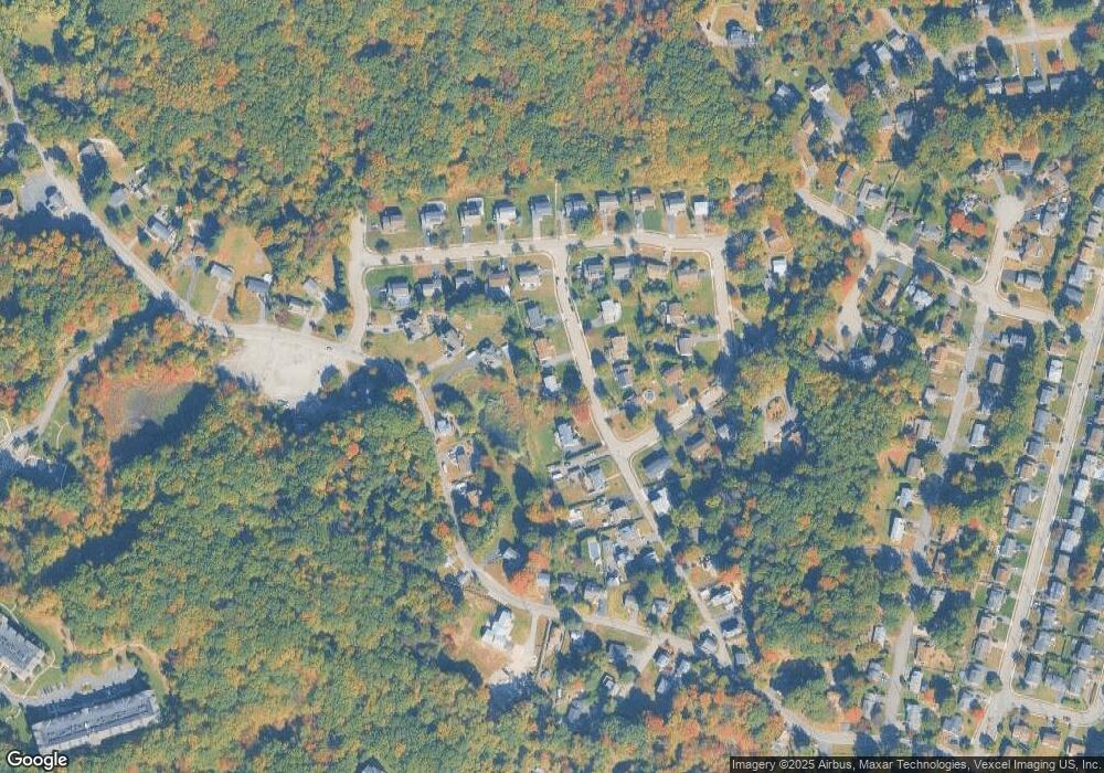
Map
Nearby Homes
- 7311 Polk Dr
- 1202 Hale Dr
- 1213 Hale Dr
- 2100 Johnson Dr Unit 1
- 2210 Johnson Dr
- 208 Fischer Ct
- 313 Fischer Ct Unit 313
- 1110 Johnson Dr
- 1109 Johnson Dr
- 301 Fischer Ct Unit 301
- 22 S Brookside Dr
- 5307 Veterans Dr
- 1313 Bush Cir
- 2 W Lake Shore Dr
- 1129 Hamilton Dr
- 1111 Clinton Ln Unit 111
- 1211 Clinton Ln
- 10 Katherine Rd
- 7 Algonquin Ave
- 202 Cleveland Ln
- 30 Snyder Dr
- 24 Snyder Dr
- 27 Snyder Dr
- 453 Mount Hope Rd
- 32 Snyder Dr
- 29 Snyder Dr
- 25 Snyder Dr
- 31 Snyder Dr
- 65 Old Middletown Rd
- 62 Old Middletown Rd
- 455 Mount Hope Rd
- 451 Mount Hope Rd
- 10 Ridge Rd
- 68 Old Middletown Rd
- 447 Mt Hope Rd
- 8 Ridge Rd
- 447 Mount Hope Rd
- 12 Ridge Rd
- 70 Old Middletown Rd
- 59 Old Middletown Rd