28 Sumner Hills Rd Mankato, MN 56001
Lincoln Park NeighborhoodEstimated Value: $496,000 - $1,002,157
4
Beds
3
Baths
4,590
Sq Ft
$166/Sq Ft
Est. Value
About This Home
This home is located at 28 Sumner Hills Rd, Mankato, MN 56001 and is currently estimated at $761,052, approximately $165 per square foot. 28 Sumner Hills Rd is a home located in Blue Earth County with nearby schools including Jefferson Elementary School, Dakota Meadows Middle School, and Mankato West Senior High School.
Ownership History
Date
Name
Owned For
Owner Type
Purchase Details
Closed on
Jan 21, 2016
Sold by
Ringstrom Anna M
Bought by
Scheman Thomas and Scheman Jennifer Snell
Current Estimated Value
Purchase Details
Closed on
Aug 10, 2015
Sold by
Ringstrom Elin
Bought by
Ringstrom Elin R
Purchase Details
Closed on
Apr 30, 2009
Sold by
Estate Of Phyllis A Mcgrath and Landgrath Allen V
Bought by
Ringstrom Elin
Create a Home Valuation Report for This Property
The Home Valuation Report is an in-depth analysis detailing your home's value as well as a comparison with similar homes in the area
Home Values in the Area
Average Home Value in this Area
Purchase History
| Date | Buyer | Sale Price | Title Company |
|---|---|---|---|
| Scheman Thomas | $449,000 | -- | |
| Ringstrom Elin R | -- | -- | |
| Ringstrom Elin | $285,000 | -- |
Source: Public Records
Tax History Compared to Growth
Tax History
| Year | Tax Paid | Tax Assessment Tax Assessment Total Assessment is a certain percentage of the fair market value that is determined by local assessors to be the total taxable value of land and additions on the property. | Land | Improvement |
|---|---|---|---|---|
| 2025 | $10,882 | $912,700 | $126,800 | $785,900 |
| 2024 | $10,882 | $878,700 | $126,800 | $751,900 |
| 2023 | $10,286 | $842,200 | $126,800 | $715,400 |
| 2022 | $9,686 | $812,700 | $126,800 | $685,900 |
| 2021 | $9,362 | $717,500 | $126,800 | $590,700 |
| 2020 | $8,284 | $623,200 | $126,800 | $496,400 |
| 2019 | $8,106 | $623,200 | $126,800 | $496,400 |
| 2018 | $7,394 | $610,300 | $126,800 | $483,500 |
| 2017 | $4,382 | $567,100 | $126,800 | $440,300 |
| 2016 | $4,106 | $363,000 | $126,900 | $236,100 |
| 2015 | $37 | $343,300 | $126,900 | $216,400 |
| 2014 | $3,746 | $311,900 | $126,900 | $185,000 |
Source: Public Records
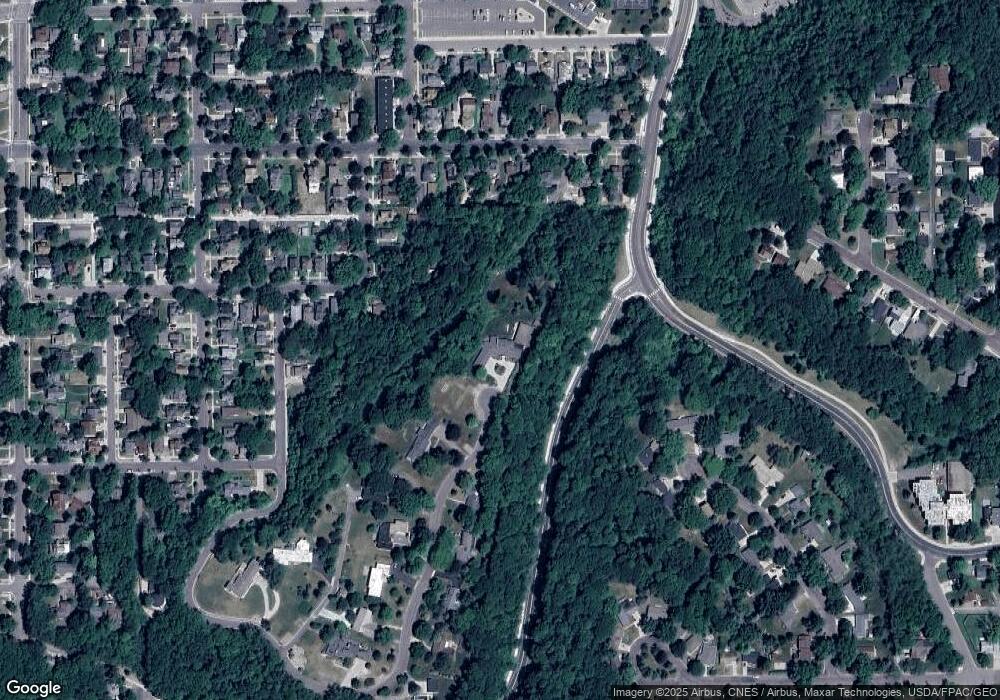
Map
Nearby Homes
- 26 Sumner Hills Rd
- 231 Bradley St
- 212 Locke St
- 217 Center St
- 117 E Pleasant St
- 117 117 E Pleasant St
- 340 Rd
- 222 W Pleasant St
- 222 222 W Pleasant St
- 315 W Pleasant St
- TBD Saratoga
- 309 309 Locust St
- 130 Dillon Ave
- 316 316 Stoltzman Rd
- 316 Stoltzman Rd
- 0 R010918476042 Tbd Woodridge Unit 7036731
- 314 314 E Walnut St
- 109 109 S 4th St
- 0 Outlot A Block 1 Unit 7031909
- 601 Baker Ave
- 28 Sumner Hills
- 26 Sumner Hills
- 335 Bradley St
- 24 Sumner Hills
- 315 Bradley St
- 229 Locke St
- 229 Locke St Unit 4 bed room
- 225 Locke St
- 225 Locke St Unit 225 Locke Street
- 23 Sumner Hills
- 235 Bradley St
- 235 Bradley St Unit 235 Bradley Street
- 221 Locke St
- 122 High St
- 215 Locke St
- 333 E Pleasant St
- 117 Fuller St
- 115 Fuller St
- 228 Locke St
- 233 Bradley St