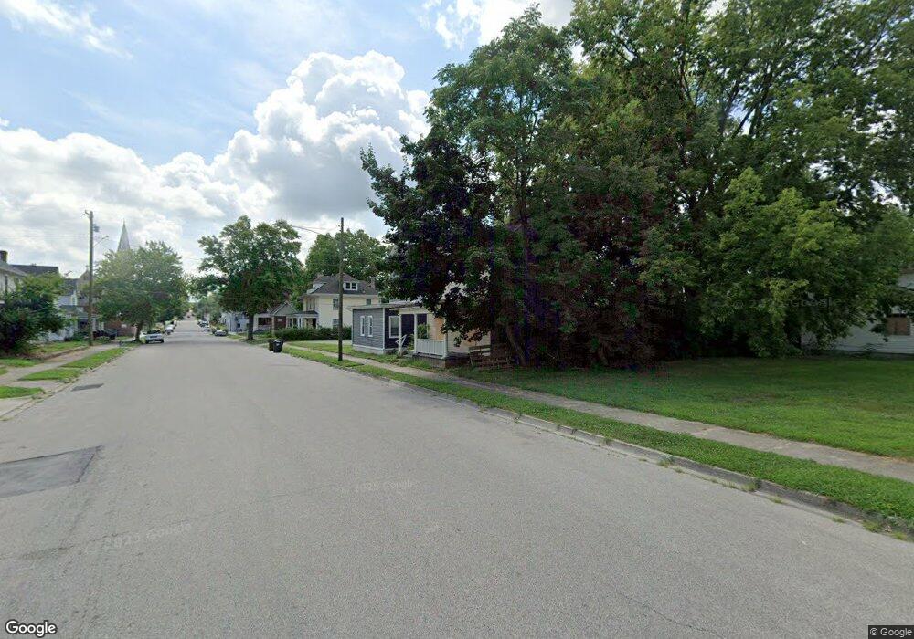
28 W 5th St Franklin, OH 45005
Estimated Value: $107,022 - $379,000
4
Beds
3
Baths
2,814
Sq Ft
$82/Sq Ft
Est. Value
About This Home
This home is located at 28 W 5th St, Franklin, OH 45005 and is currently estimated at $230,007, approximately $81 per square foot. 28 W 5th St is a home located in Warren County with nearby schools including Franklin High School and The CinDay Academy.
Ownership History
Date
Name
Owned For
Owner Type
Purchase Details
Closed on
Mar 18, 2022
Sold by
Greenbean Group Llc
Bought by
Rad Properties Investors Llc
Current Estimated Value
Purchase Details
Closed on
Sep 13, 2007
Sold by
Kramer R Harold and Gabbard Ronald D
Bought by
The Greenbean Group Llc
Home Financials for this Owner
Home Financials are based on the most recent Mortgage that was taken out on this home.
Original Mortgage
$84,000
Interest Rate
7.37%
Mortgage Type
Purchase Money Mortgage
Purchase Details
Closed on
Jun 19, 1978
Sold by
Thornton Thornton and Thornton Harold J
Create a Home Valuation Report for This Property
The Home Valuation Report is an in-depth analysis detailing your home's value as well as a comparison with similar homes in the area
Home Values in the Area
Average Home Value in this Area
Purchase History
| Date | Buyer | Sale Price | Title Company |
|---|---|---|---|
| Rad Properties Investors Llc | $85,000 | Stitsinger Steven M | |
| The Greenbean Group Llc | $115,000 | First Central Land Title Age | |
| -- | $7,400 | -- |
Source: Public Records
Mortgage History
| Date | Status | Borrower | Loan Amount |
|---|---|---|---|
| Previous Owner | The Greenbean Group Llc | $84,000 |
Source: Public Records
Tax History Compared to Growth
Tax History
| Year | Tax Paid | Tax Assessment Tax Assessment Total Assessment is a certain percentage of the fair market value that is determined by local assessors to be the total taxable value of land and additions on the property. | Land | Improvement |
|---|---|---|---|---|
| 2024 | $2,304 | $47,880 | $7,970 | $39,910 |
| 2023 | $1,931 | $36,018 | $4,382 | $31,636 |
| 2022 | $1,894 | $36,019 | $4,382 | $31,637 |
| 2021 | $1,911 | $36,019 | $4,382 | $31,637 |
| 2020 | $1,965 | $32,743 | $3,983 | $28,760 |
| 2019 | $1,801 | $32,743 | $3,983 | $28,760 |
| 2018 | $1,804 | $32,743 | $3,983 | $28,760 |
| 2017 | $1,838 | $30,562 | $3,784 | $26,779 |
| 2016 | $1,756 | $30,562 | $3,784 | $26,779 |
| 2015 | $1,756 | $30,562 | $3,784 | $26,779 |
| 2014 | $1,801 | $30,560 | $3,780 | $26,780 |
| 2013 | $1,534 | $32,170 | $3,980 | $28,190 |
Source: Public Records
Map
Nearby Homes