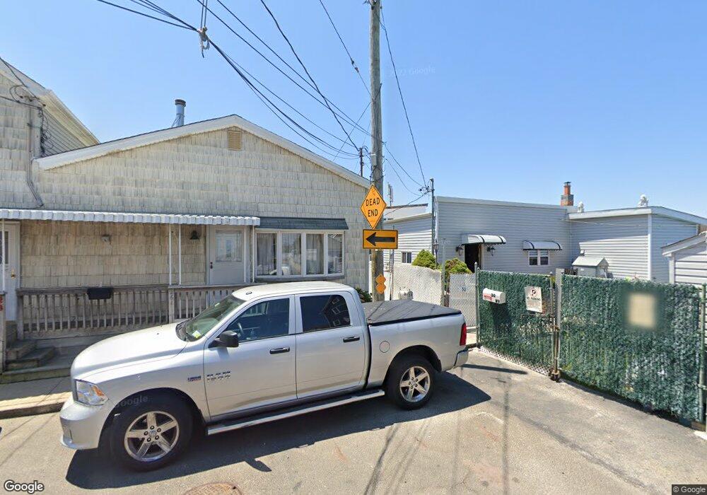
28 W 9th Rd Broad Channel, NY 11693
Broad Channel NeighborhoodEstimated Value: $669,687 - $706,000
--
Bed
--
Bath
2,282
Sq Ft
$304/Sq Ft
Est. Value
About This Home
This home is located at 28 W 9th Rd, Broad Channel, NY 11693 and is currently estimated at $692,922, approximately $303 per square foot. 28 W 9th Rd is a home located in Queens County with nearby schools including P.S. 47 - Chris Galas and St Rose of Lima Catholic Academy.
Ownership History
Date
Name
Owned For
Owner Type
Purchase Details
Closed on
Jun 18, 1999
Sold by
Cook Robert and Riepe Donald
Bought by
Riepe Donald
Current Estimated Value
Home Financials for this Owner
Home Financials are based on the most recent Mortgage that was taken out on this home.
Original Mortgage
$46,000
Interest Rate
7.52%
Mortgage Type
Seller Take Back
Create a Home Valuation Report for This Property
The Home Valuation Report is an in-depth analysis detailing your home's value as well as a comparison with similar homes in the area
Home Values in the Area
Average Home Value in this Area
Purchase History
| Date | Buyer | Sale Price | Title Company |
|---|---|---|---|
| Riepe Donald | $76,000 | American Title Ins Co | |
| Riepe Donald | -- | American Title Ins Co |
Source: Public Records
Mortgage History
| Date | Status | Borrower | Loan Amount |
|---|---|---|---|
| Closed | Riepe Donald | $46,000 |
Source: Public Records
Tax History Compared to Growth
Tax History
| Year | Tax Paid | Tax Assessment Tax Assessment Total Assessment is a certain percentage of the fair market value that is determined by local assessors to be the total taxable value of land and additions on the property. | Land | Improvement |
|---|---|---|---|---|
| 2025 | $3,820 | $20,635 | $4,555 | $16,080 |
| 2024 | $3,832 | $20,420 | $4,745 | $15,675 |
| 2023 | $3,590 | $19,276 | $4,436 | $14,840 |
| 2022 | $3,346 | $36,480 | $10,080 | $26,400 |
| 2021 | $3,323 | $39,000 | $10,080 | $28,920 |
| 2020 | $3,344 | $42,840 | $10,080 | $32,760 |
| 2019 | $3,267 | $40,380 | $10,080 | $30,300 |
| 2018 | $2,977 | $16,063 | $4,997 | $11,066 |
| 2017 | $2,792 | $15,166 | $4,261 | $10,905 |
| 2016 | $2,555 | $15,166 | $4,261 | $10,905 |
| 2015 | $1,506 | $14,330 | $5,699 | $8,631 |
| 2014 | $1,506 | $14,181 | $5,640 | $8,541 |
Source: Public Records
Map
Nearby Homes
- 803 Cross Bay Blvd
- 22 W 10th Rd
- 20 W 10th Rd
- 621 Cross Bay Blvd
- 27 W 11th Rd
- 33 W 11th Rd
- 35 W 11th Rd
- 120 E 8th Rd
- 1024 Cross Bay Blvd
- 33 W 12th Rd
- 815 Walton Rd
- 118 E 6th Rd
- 12&14 W 5th Rd
- 1317 Cross Bay Blvd
- 1234 Cross Bay Blvd
- 12-34 Cross Bay Blvd
- 12-38 Cross Bay Blvd
- 12 W 14th Rd
- 14-7 Cross Bay Blvd
- 21 W 18th Rd
- 30-02 W 9th Rd
- 30 W 9th Rd
- 26 W 9th Rd Unit 26A
- 813 Shad Creek Rd
- 24 W 9th Rd
- 911 Shad Creek Rd
- 913 Shad Creek Rd
- 811 Shad Creek Rd
- 22 W 9th Rd
- 915 Shad Creek Rd
- 809 Shad Creek Rd
- 812 Shad Creek Rd
- 20 W 9th Rd
- 919 Shad Creek Rd
- 807 Shad Creek Rd
- 810 Shad Creek Rd
- 18 W 9th Rd
- 808 Shad Creek Rd
- 805 Shad Creek Rd
- 806 Shad Creek Rd