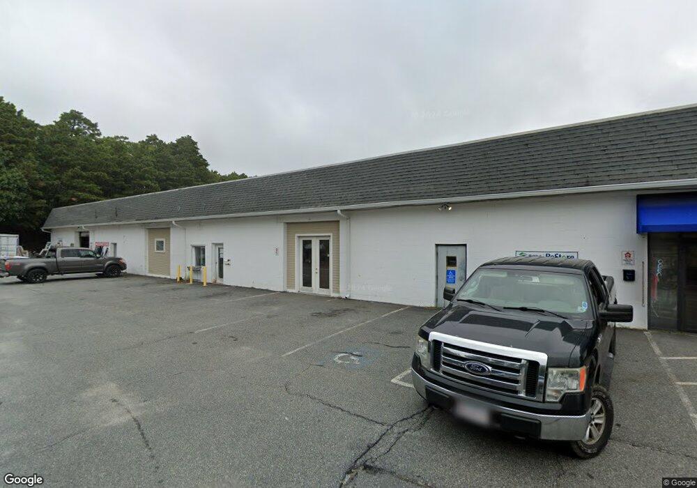
28 Whites Path Unit 1&2 South Yarmouth, MA 2664
Estimated Value: $1,787,040
3
Beds
2
Baths
4,750
Sq Ft
$376/Sq Ft
Est. Value
About This Home
This home is located at 28 Whites Path Unit 1&2, South Yarmouth, MA 2664 and is currently estimated at $1,787,040, approximately $376 per square foot. 28 Whites Path Unit 1&2 is a home located in Barnstable County with nearby schools including Dennis-Yarmouth Regional High School and St. Pius X. School.
Ownership History
Date
Name
Owned For
Owner Type
Purchase Details
Closed on
Jun 23, 2006
Sold by
Beechtree Properties C
Bought by
Tac Rt
Current Estimated Value
Home Financials for this Owner
Home Financials are based on the most recent Mortgage that was taken out on this home.
Original Mortgage
$915,000
Outstanding Balance
$538,547
Interest Rate
6.59%
Mortgage Type
Commercial
Estimated Equity
$1,248,493
Purchase Details
Closed on
Jun 2, 2000
Sold by
Dodd Richard S
Bought by
Beechtree Prop Corp
Create a Home Valuation Report for This Property
The Home Valuation Report is an in-depth analysis detailing your home's value as well as a comparison with similar homes in the area
Home Values in the Area
Average Home Value in this Area
Purchase History
| Date | Buyer | Sale Price | Title Company |
|---|---|---|---|
| Tac Rt | $915,000 | -- | |
| Beechtree Prop Corp | $495,000 | -- |
Source: Public Records
Mortgage History
| Date | Status | Borrower | Loan Amount |
|---|---|---|---|
| Open | Tac Rt | $915,000 |
Source: Public Records
Tax History Compared to Growth
Tax History
| Year | Tax Paid | Tax Assessment Tax Assessment Total Assessment is a certain percentage of the fair market value that is determined by local assessors to be the total taxable value of land and additions on the property. | Land | Improvement |
|---|---|---|---|---|
| 2025 | $5,465 | $771,900 | $288,800 | $483,100 |
| 2024 | $5,697 | $771,900 | $288,800 | $483,100 |
| 2023 | $5,293 | $652,600 | $244,100 | $408,500 |
| 2022 | $5,229 | $569,600 | $201,800 | $367,800 |
| 2021 | $5,445 | $569,600 | $201,800 | $367,800 |
| 2020 | $5,300 | $530,000 | $156,600 | $373,400 |
| 2019 | $5,353 | $530,000 | $156,600 | $373,400 |
| 2018 | $2,969 | $530,000 | $156,600 | $373,400 |
| 2017 | $5,311 | $530,000 | $156,600 | $373,400 |
| 2016 | $5,289 | $530,000 | $156,600 | $373,400 |
| 2015 | $5,343 | $532,200 | $157,900 | $374,300 |
Source: Public Records
Map
Nearby Homes
- 16 Warren Rd Unit 16
- 16 Warren Rd
- 0 Forsyth Ave
- 30 Quartermaster Row
- 33 Sparrow Way
- 32 Deveau Ln
- 40 Deveau Ln
- 72 Quartermaster Row
- 8 Rowley Ln
- 209 Union St
- 176 Beacon St
- 76 Captain Chase Rd
- 68 Seminole Dr
- 14 Many Oaks Cir
- 17 Trowbridge Path
- 97 Astor Way
- 49 Captain Besse Rd
- 105 Webbers Path
- 97 Captain Bacon Rd
- 50 Cottonwood St
- 28 Whites Path
- 34 Whites Path
- 22 Whites Path
- 32 White's Path Unit 32P
- 40 Whites Path
- 12 Whites Path Unit 4
- 12 Whites Path Unit 2
- 12 Whites Path
- 44 Whites Path
- 23 Whites Path Unit R
- 23 Whites Path Unit H2
- 23 Whites Path Unit G2
- 23 Whites Path Unit I
- 23 Whites Path Unit V2
- 23 Whites Path Unit E
- 23 Whites Path Unit Q
- 23 Whites Path Unit O
- 23 Whites Path Unit N2
- 23 Whites Path Unit V
- 23 Whites Path Unit H