280 21 Mile Rd NE Cedar Springs, MI 49319
Estimated Value: $254,219 - $374,000
3
Beds
2
Baths
1
Sq Ft
$288,805/Sq Ft
Est. Value
About This Home
This home is located at 280 21 Mile Rd NE, Cedar Springs, MI 49319 and is currently estimated at $288,805, approximately $288,805 per square foot. 280 21 Mile Rd NE is a home located in Kent County with nearby schools including Cedar Trails Elementary School, Red Hawk Intermediate School, and Beach Elementary School.
Ownership History
Date
Name
Owned For
Owner Type
Purchase Details
Closed on
Feb 11, 2025
Sold by
Gentz Janice Lynn and Baker Janice Lynn
Bought by
Baker Janice Lynn and Brink Loretha A
Current Estimated Value
Purchase Details
Closed on
Jul 19, 2004
Sold by
Gentz Clemens E
Bought by
Gentz Janice Lynn
Purchase Details
Closed on
Mar 20, 1989
Bought by
Baker Osbon>Gentz and Baker Janice L
Purchase Details
Closed on
Aug 1, 1977
Bought by
Baker Ziegenfuss>Osbon and Baker Janice L
Create a Home Valuation Report for This Property
The Home Valuation Report is an in-depth analysis detailing your home's value as well as a comparison with similar homes in the area
Home Values in the Area
Average Home Value in this Area
Purchase History
| Date | Buyer | Sale Price | Title Company |
|---|---|---|---|
| Baker Janice Lynn | -- | None Listed On Document | |
| Gentz Janice Lynn | -- | Michigan Bankers Title | |
| Baker Osbon>Gentz | $38,000 | -- | |
| Baker Ziegenfuss>Osbon | $9,000 | -- |
Source: Public Records
Tax History Compared to Growth
Tax History
| Year | Tax Paid | Tax Assessment Tax Assessment Total Assessment is a certain percentage of the fair market value that is determined by local assessors to be the total taxable value of land and additions on the property. | Land | Improvement |
|---|---|---|---|---|
| 2025 | $1,115 | $90,200 | $0 | $0 |
| 2024 | $1,115 | $85,500 | $0 | $0 |
| 2023 | $1,066 | $74,600 | $0 | $0 |
| 2022 | $1,015 | $69,500 | $0 | $0 |
| 2021 | $1,158 | $64,700 | $0 | $0 |
| 2020 | $1,018 | $60,800 | $0 | $0 |
| 2019 | $1,003 | $57,400 | $0 | $0 |
| 2018 | $1,109 | $54,900 | $0 | $0 |
| 2017 | $1,079 | $49,200 | $0 | $0 |
| 2016 | $1,038 | $39,900 | $0 | $0 |
| 2015 | -- | $39,900 | $0 | $0 |
| 2013 | -- | $35,500 | $0 | $0 |
Source: Public Records
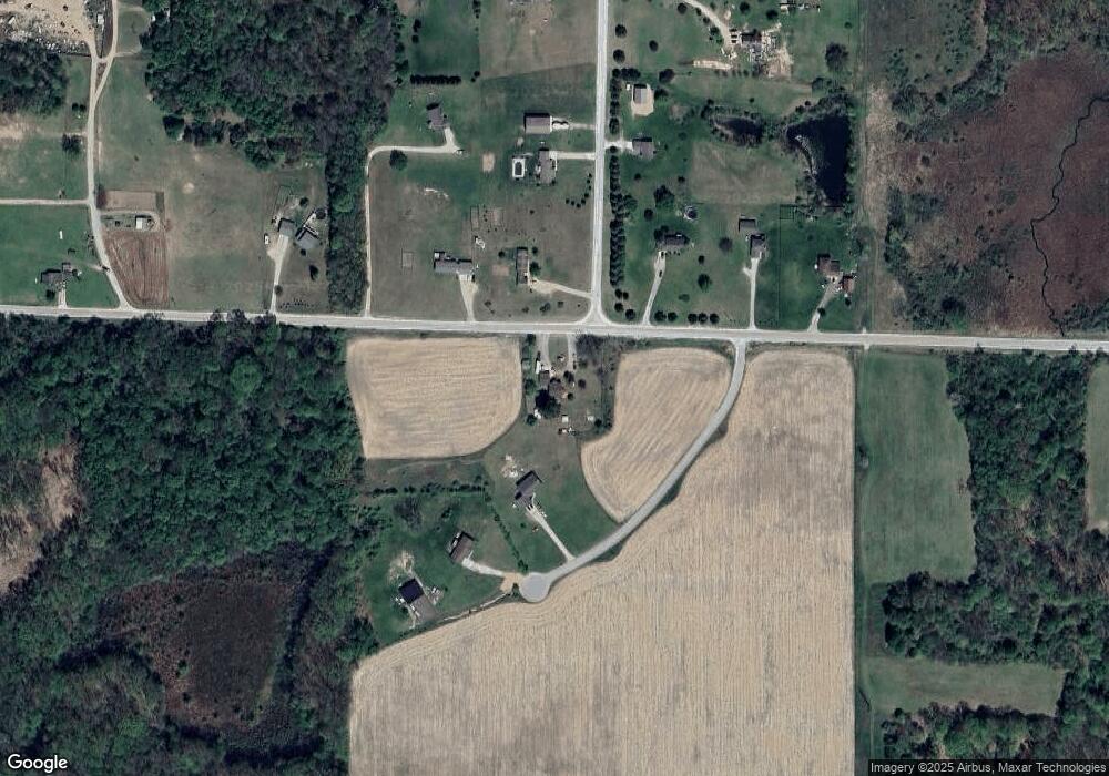
Map
Nearby Homes
- 17460 Mcphail Ave NE
- 493 Wainwright Rd
- 2195 20 Mile Rd NW
- 16343 Trent Ridge Dr
- 7422 E 22 Mile Rd
- 15175 Hanna Ave NE
- 13509 Cypress Ave
- 14750 Sparta Ave
- 2590 Recluse Dr
- 2169 Quarter Horse Dr NE
- 2217 Quarter Horse Dr NE Unit 27
- 2358 Quarter Horse Dr Unit 3
- 2553 21 Mile Rd
- The Taylor Plan at Saddlebrook
- The Stockton Plan at Saddlebrook
- The Stafford Plan at Saddlebrook
- The Rowen Plan at Saddlebrook
- The Mayfair Plan at Saddlebrook
- The Brinley Plan at Saddlebrook
- The Amber Plan at Saddlebrook
- 17055 Uncle Willie Ct NE
- 17219 Mcphail Ave NE Unit 1
- 375 21 Mile Rd NE
- 145 21 Mile Rd NE
- 17007 Uncle Willie Ct NE
- 17255 Mcphail Ave NE
- 381 21 Mile Rd NE
- 17272 Mcphail Ave NE
- 399 21 Mile Rd NE
- 399 21 Mile Rd NE Unit 1
- 205 21 Mile Rd NE
- 195 21 Mile Rd NE
- 17325 Mcphail Ave NE Unit 4
- 17330 Mcphail Ave NE
- 17369 Mcphail Ave NE
- 17376 Mcphail Ave NE
- 17368 Mcphail Ave NE
- 17445 Mcphail Ave NE
- 17384 Mcphail Ave NE
- 235 21 Mile Rd NE