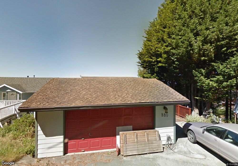
280 Bambi Dr Whitethorn, CA 95589
Estimated Value: $505,521 - $687,000
4
Beds
2
Baths
2,877
Sq Ft
$215/Sq Ft
Est. Value
About This Home
This home is located at 280 Bambi Dr, Whitethorn, CA 95589 and is currently estimated at $617,880, approximately $214 per square foot. 280 Bambi Dr is a home located in Humboldt County.
Ownership History
Date
Name
Owned For
Owner Type
Purchase Details
Closed on
Mar 5, 2014
Sold by
Neufeld Harold K and Neufeld Mary E
Bought by
Neufeld Family Trust
Current Estimated Value
Purchase Details
Closed on
Oct 27, 2003
Sold by
Schavrien Sigler Marlene
Bought by
Neufeld Harold K and Neufeld Mary E
Home Financials for this Owner
Home Financials are based on the most recent Mortgage that was taken out on this home.
Original Mortgage
$280,000
Outstanding Balance
$128,103
Interest Rate
6.04%
Mortgage Type
Purchase Money Mortgage
Estimated Equity
$489,777
Purchase Details
Closed on
Jan 9, 1998
Sold by
John Fitzgerald and Kim Cuthbertson Kim
Bought by
Schavrien Sigler Marlene
Home Financials for this Owner
Home Financials are based on the most recent Mortgage that was taken out on this home.
Original Mortgage
$149,000
Interest Rate
7.99%
Mortgage Type
Purchase Money Mortgage
Create a Home Valuation Report for This Property
The Home Valuation Report is an in-depth analysis detailing your home's value as well as a comparison with similar homes in the area
Home Values in the Area
Average Home Value in this Area
Purchase History
| Date | Buyer | Sale Price | Title Company |
|---|---|---|---|
| Neufeld Family Trust | -- | None Available | |
| Neufeld Harold K | $350,000 | First American Title Ins Co | |
| Schavrien Sigler Marlene | $199,000 | First American Title Ins Co | |
| Schavrien Sigler Marlene | -- | -- |
Source: Public Records
Mortgage History
| Date | Status | Borrower | Loan Amount |
|---|---|---|---|
| Open | Neufeld Harold K | $280,000 | |
| Previous Owner | Schavrien Sigler Marlene | $149,000 |
Source: Public Records
Tax History
| Year | Tax Paid | Tax Assessment Tax Assessment Total Assessment is a certain percentage of the fair market value that is determined by local assessors to be the total taxable value of land and additions on the property. | Land | Improvement |
|---|---|---|---|---|
| 2025 | $5,550 | $497,610 | $127,952 | $369,658 |
| 2024 | $5,550 | $487,854 | $125,444 | $362,410 |
| 2023 | $5,572 | $478,289 | $122,985 | $355,304 |
| 2022 | $5,488 | $468,912 | $120,574 | $348,338 |
| 2021 | $5,286 | $459,718 | $118,210 | $341,508 |
| 2020 | $5,317 | $455,005 | $116,998 | $338,007 |
| 2019 | $5,188 | $446,084 | $114,704 | $331,380 |
| 2018 | $5,101 | $437,338 | $112,455 | $324,883 |
| 2017 | $4,908 | $428,763 | $110,250 | $318,513 |
| 2016 | $4,879 | $420,357 | $108,089 | $312,268 |
| 2015 | $4,855 | $414,044 | $106,466 | $307,578 |
| 2014 | $4,641 | $405,934 | $104,381 | $301,553 |
Source: Public Records
Map
Nearby Homes
- 142 Oceanview Rd
- 1630 Upper Pacific Dr
- 82 Fawn Dr
- 9350 Shelter Cove Rd
- 36 Bambi Dr
- 16 Bambi Dr
- 8 Buckhorn Ct
- 27 Buckhorn Ct
- 5 Antler Ct
- 42 Vista Rd
- 161 Parkview Rd
- 1325&1335 Upper Pacific Dr
- 6 Coral Point
- 112 Seafoam Rd
- 15 Seal Ct
- 126 Neptune Dr
- 9020 Shelter Cove Rd
- 81 Neptune Rd
- 75 Neptune Rd
- 22 Spruce Ct
Your Personal Tour Guide
Ask me questions while you tour the home.