280 Barry Hollow Ln Sewanee, TN 37375
Estimated Value: $353,000 - $1,541,129
Studio
1
Bath
1,152
Sq Ft
$822/Sq Ft
Est. Value
About This Home
This home is located at 280 Barry Hollow Ln, Sewanee, TN 37375 and is currently estimated at $947,065, approximately $822 per square foot. 280 Barry Hollow Ln is a home located in Franklin County with nearby schools including South Middle School, Franklin County High School, and St. Andrew's-Sewanee School.
Ownership History
Date
Name
Owned For
Owner Type
Purchase Details
Closed on
Dec 24, 2012
Sold by
Rdf Transportation Inc
Bought by
Bobs Property Llc
Current Estimated Value
Purchase Details
Closed on
May 8, 2001
Bought by
Barry Daniel and Barry Arlene
Purchase Details
Closed on
Feb 18, 1998
Sold by
Barry Daniel
Bought by
Myers Ina May
Purchase Details
Closed on
Apr 16, 1990
Purchase Details
Closed on
Apr 14, 1990
Purchase Details
Closed on
Feb 24, 1986
Purchase Details
Closed on
Jun 7, 1985
Bought by
Barry Daniel and Barry Arlene
Purchase Details
Closed on
Aug 7, 1954
Purchase Details
Closed on
Jan 4, 1900
Purchase Details
Closed on
Jan 3, 1900
Create a Home Valuation Report for This Property
The Home Valuation Report is an in-depth analysis detailing your home's value as well as a comparison with similar homes in the area
Purchase History
| Date | Buyer | Sale Price | Title Company |
|---|---|---|---|
| Bobs Property Llc | $200,000 | -- | |
| Barry Daniel | $88,000 | -- | |
| Myers Ina May | -- | -- | |
| -- | -- | -- | |
| -- | $18,500 | -- | |
| -- | -- | -- | |
| -- | $23,900 | -- | |
| -- | -- | -- | |
| Barry Daniel | -- | -- | |
| -- | -- | -- | |
| -- | -- | -- | |
| -- | -- | -- |
Source: Public Records
Tax History
| Year | Tax Paid | Tax Assessment Tax Assessment Total Assessment is a certain percentage of the fair market value that is determined by local assessors to be the total taxable value of land and additions on the property. | Land | Improvement |
|---|---|---|---|---|
| 2025 | $5,444 | $272,850 | $38,175 | $234,675 |
| 2024 | $4,826 | $241,850 | $38,175 | $203,675 |
| 2023 | $3,698 | $185,350 | $29,800 | $155,550 |
| 2022 | $3,476 | $185,350 | $29,800 | $155,550 |
| 2021 | $3,698 | $185,350 | $29,800 | $155,550 |
| 2020 | $2,912 | $128,475 | $27,350 | $101,125 |
| 2019 | $1,808 | $62,825 | $27,350 | $35,475 |
| 2018 | $1,656 | $61,950 | $27,350 | $34,600 |
| 2017 | $1,656 | $61,950 | $27,350 | $34,600 |
| 2016 | $1,337 | $50,000 | $19,900 | $30,100 |
| 2015 | $1,337 | $50,000 | $19,900 | $30,100 |
| 2014 | $1,337 | $50,004 | $0 | $0 |
Source: Public Records
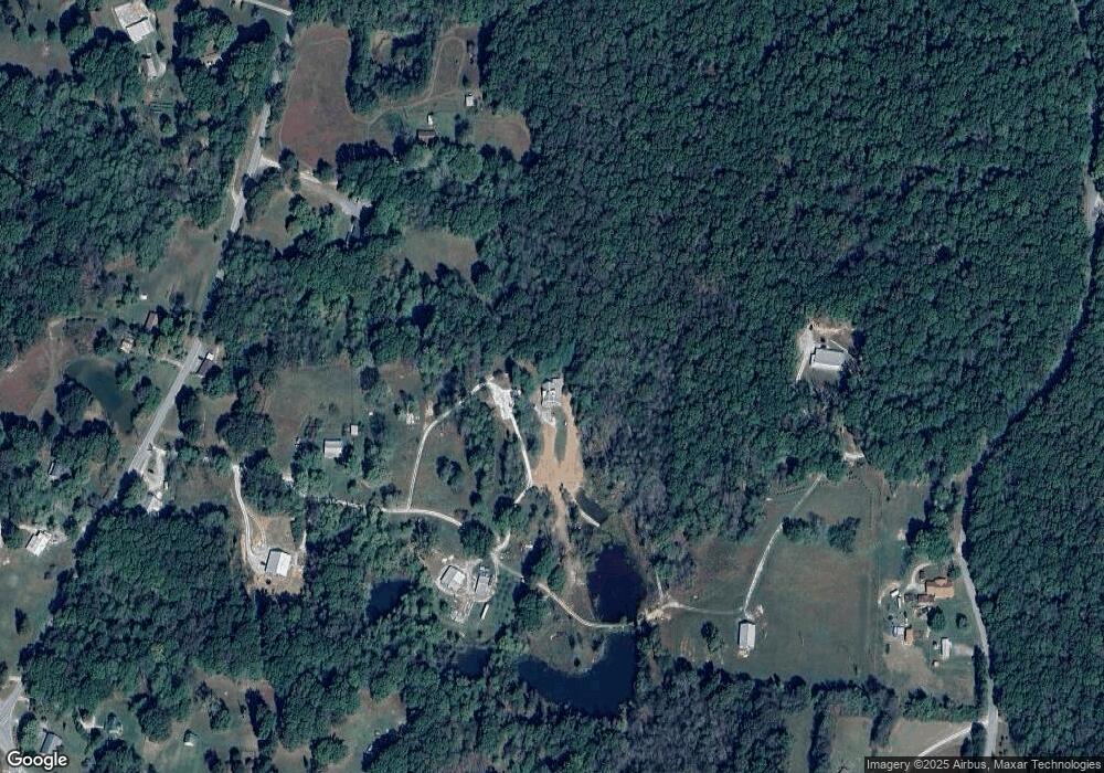
Map
Nearby Homes
- 1544 Midway Rd
- 1629 Clifftops Ave
- 261 Lake Louisa Loop
- 1651 Lake Louisa Loop
- 2046 Lakeshore Dr
- 1863 Lake Louisa Loop
- 2095 Lake Louisa Loop
- 0 Cooleys Rift Blvd Unit 14
- 0 Deep Woods Rd
- 57 Palmetto Ave
- 107 Chickory Ln
- 103 Willie Six Rd
- 0 Shadow Rock Dr Unit 12-13
- 0 Shadow Rock Dr Unit 12
- 0 Shadow Rock Dr Unit 1525123
- 0 Shadow Rock Dr Unit 13
- 1517 Laurel Lake Dr
- 42 Chickory Ln
- 23 Laurel Lake Dr
- 21 Laurel Lake Dr
Your Personal Tour Guide
Ask me questions while you tour the home.