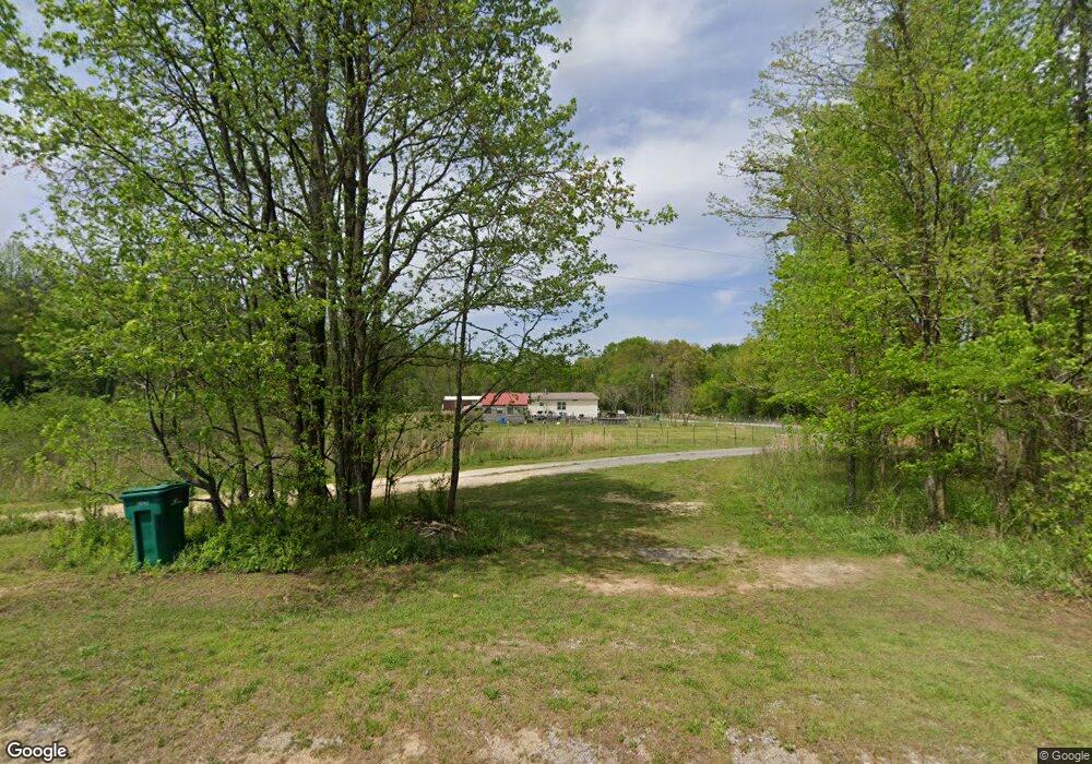
280 Brothers Rd Steele, AL 35987
Estimated Value: $261,000 - $391,000
Studio
--
Bath
1,105
Sq Ft
$319/Sq Ft
Est. Value
About This Home
This home is located at 280 Brothers Rd, Steele, AL 35987 and is currently estimated at $351,983, approximately $318 per square foot. 280 Brothers Rd is a home located in St. Clair County with nearby schools including Steele Elementary School and Ashville High School.
Create a Home Valuation Report for This Property
The Home Valuation Report is an in-depth analysis detailing your home's value as well as a comparison with similar homes in the area
Home Values in the Area
Average Home Value in this Area
Tax History
| Year | Tax Paid | Tax Assessment Tax Assessment Total Assessment is a certain percentage of the fair market value that is determined by local assessors to be the total taxable value of land and additions on the property. | Land | Improvement |
|---|---|---|---|---|
| 2024 | -- | $60,384 | $49,160 | $11,224 |
| 2023 | $0 | $60,384 | $49,160 | $11,224 |
| 2022 | $1 | $29,158 | $24,580 | $4,578 |
| 2021 | $1 | $29,148 | $24,570 | $4,578 |
| 2020 | $1 | $29,270 | $24,686 | $4,584 |
| 2019 | $1 | $29,234 | $24,686 | $4,548 |
| 2018 | $1 | $21,240 | $0 | $0 |
| 2017 | $3 | $21,240 | $0 | $0 |
| 2016 | $1 | $21,240 | $0 | $0 |
| 2015 | $3 | $21,240 | $0 | $0 |
| 2014 | $1 | $21,160 | $0 | $0 |
Source: Public Records
Map
Nearby Homes
- 3074 Beason Cove Rd
- 0 County Road 42 Unit 26157833
- 0 County Road 42 Unit 21442134
- 0 Sumatanga Rd
- 1850 Pleasant Valley Rd
- 0 Legion Dr Unit 893391
- 0 Legion Dr Unit 19987726
- 0 Highway 11 Unit 21427361
- 61 Hartsfield Dr
- 2405 Cliff Springs Rd
- 185 Herb Collette Dr
- 3649 Pope Ave
- 22731 Route 11
- 0 Pine St
- 0 Cliff Springs Rd Unit 21429334
- 0 Cliff Springs Rd Unit 24577101
- 19099 US Highway 11
- 4186 Pope Ave
- 75 Moore St
- 0 Sweatt Rd Unit 21415006
- 270 Brothers Rd
- 2020 Loop Rd
- 1908 Loop Rd
- 1120 Loop Rd Unit 1
- 2261 Loop Rd
- 1125 Loop Rd
- 1850 Loop Rd
- 999 Loop Rd
- 1063 Loop Rd
- 505 Loop Rd
- 0 Brothers Rd Unit 499071
- 0 Brothers Rd Unit 1 831747
- 2640 Loop Rd
- 180 Jake Creek Rd
- 700 Loop Rd
- 1050 Loop Rd
- 3447 Beason Cove Rd
- 3052 Loop Rd
- 1869 County Road 42
- 3355 Beason Cove Rd
Your Personal Tour Guide
Ask me questions while you tour the home.