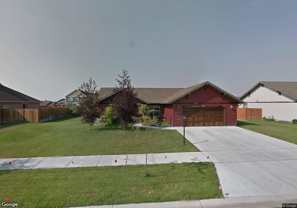
280 Cedar Wood Cir Bozeman, MT 59718
Four Corners NeighborhoodEstimated Value: $605,315 - $694,000
3
Beds
2
Baths
1,478
Sq Ft
$434/Sq Ft
Est. Value
About This Home
This home is located at 280 Cedar Wood Cir, Bozeman, MT 59718 and is currently estimated at $641,329, approximately $433 per square foot. 280 Cedar Wood Cir is a home located in Gallatin County with nearby schools including Monforton Primary School, Monforton Elementary School, and Monforton Junior High School.
Ownership History
Date
Name
Owned For
Owner Type
Purchase Details
Closed on
Jun 6, 2008
Sold by
Jmb Inc
Bought by
Delange David and Delange Leah
Current Estimated Value
Home Financials for this Owner
Home Financials are based on the most recent Mortgage that was taken out on this home.
Original Mortgage
$227,900
Outstanding Balance
$145,868
Interest Rate
6%
Mortgage Type
Purchase Money Mortgage
Estimated Equity
$495,461
Create a Home Valuation Report for This Property
The Home Valuation Report is an in-depth analysis detailing your home's value as well as a comparison with similar homes in the area
Home Values in the Area
Average Home Value in this Area
Purchase History
| Date | Buyer | Sale Price | Title Company |
|---|---|---|---|
| Delange David | -- | It |
Source: Public Records
Mortgage History
| Date | Status | Borrower | Loan Amount |
|---|---|---|---|
| Open | Delange David | $227,900 |
Source: Public Records
Tax History Compared to Growth
Tax History
| Year | Tax Paid | Tax Assessment Tax Assessment Total Assessment is a certain percentage of the fair market value that is determined by local assessors to be the total taxable value of land and additions on the property. | Land | Improvement |
|---|---|---|---|---|
| 2025 | $2,432 | $645,600 | $0 | $0 |
| 2024 | $3,302 | $596,700 | $0 | $0 |
| 2023 | $3,747 | $596,700 | $0 | $0 |
| 2022 | $2,598 | $372,400 | $0 | $0 |
| 2021 | $2,904 | $372,400 | $0 | $0 |
| 2020 | $3,114 | $312,600 | $0 | $0 |
| 2019 | $3,096 | $312,600 | $0 | $0 |
| 2018 | $2,747 | $255,000 | $0 | $0 |
| 2017 | $2,556 | $255,000 | $0 | $0 |
| 2016 | $2,511 | $228,600 | $0 | $0 |
| 2015 | $2,450 | $228,600 | $0 | $0 |
| 2014 | $2,231 | $121,529 | $0 | $0 |
Source: Public Records
Map
Nearby Homes
- 93 Cedar Shade Ln
- 817 Milky Way Dr Unit B
- 20 Prairie Grass Ct Unit B
- 84 Tail Feather Ln Unit B
- 37 Voyager Ln
- 106 Milky Way Dr
- 101 Milky Way Dr
- 27901 Norris Rd Unit 89
- 26 Big Chief Trail
- 223 New Ventures Dr Unit E
- 247 New Ventures Dr Unit B
- 34 Caboose Ct Unit C
- 26 Locomotive Loop
- 25 Big Chief Trail
- Lot 2 River Rd
- Lot 5 River Rd
- 15 Chinook Trail
- 5044 Monforton School Rd
- 9704 River Rd
- TBD River Rd
- 260 Cedar Wood Cir
- 298 Cedar Wood Cir
- 285 Cedar Wood Cir
- 271 Cedar Wood Cir
- 32 Shelter Grove Cir
- 248 Cedar Wood Cir
- 22 Shelter Grove Cir
- 299 Cedar Wood Cir
- 257 Cedar Wood Cir
- 50 Shelter Grove Cir
- TBD Cedar Wood Cir
- 16 Shelter Grove Cir
- 311 Cedar Wood Cir
- 320 Cedar Wood Cir
- 66 Shelter Grove Cir
- 231 Cedar Wood Cir
- 238 Cedar Wood Cir
- 53 Cedar Shade Ln
- 65 Cedar Shade Ln
- 325 Cedar Wood Cir