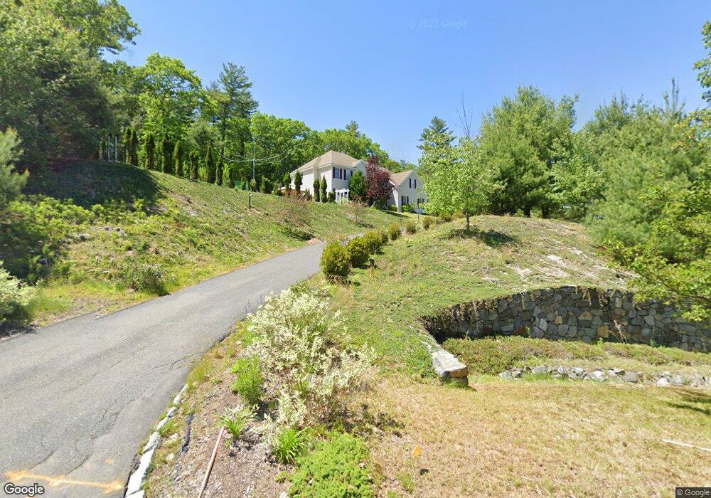
280 Crownshield Ave Uxbridge, MA 01569
Estimated Value: $861,088 - $937,000
4
Beds
4
Baths
3,546
Sq Ft
$254/Sq Ft
Est. Value
About This Home
This home is located at 280 Crownshield Ave, Uxbridge, MA 01569 and is currently estimated at $899,022, approximately $253 per square foot. 280 Crownshield Ave is a home located in Worcester County with nearby schools including Uxbridge High School and Our Lady of the Valley Regional School.
Ownership History
Date
Name
Owned For
Owner Type
Purchase Details
Closed on
Feb 15, 2005
Sold by
Uxbr Single Ft Rlty Ll
Bought by
Bertuglia Philip and Bertuglia Robin L
Current Estimated Value
Home Financials for this Owner
Home Financials are based on the most recent Mortgage that was taken out on this home.
Original Mortgage
$418,270
Outstanding Balance
$206,529
Interest Rate
5.83%
Mortgage Type
Purchase Money Mortgage
Estimated Equity
$692,493
Create a Home Valuation Report for This Property
The Home Valuation Report is an in-depth analysis detailing your home's value as well as a comparison with similar homes in the area
Home Values in the Area
Average Home Value in this Area
Purchase History
| Date | Buyer | Sale Price | Title Company |
|---|---|---|---|
| Bertuglia Philip | $522,848 | -- |
Source: Public Records
Mortgage History
| Date | Status | Borrower | Loan Amount |
|---|---|---|---|
| Open | Bertuglia Philip | $418,270 |
Source: Public Records
Tax History
| Year | Tax Paid | Tax Assessment Tax Assessment Total Assessment is a certain percentage of the fair market value that is determined by local assessors to be the total taxable value of land and additions on the property. | Land | Improvement |
|---|---|---|---|---|
| 2025 | $99 | $756,300 | $157,300 | $599,000 |
| 2024 | $9,420 | $729,100 | $149,500 | $579,600 |
| 2023 | $9,044 | $648,300 | $129,000 | $519,300 |
| 2022 | $8,253 | $544,400 | $113,300 | $431,100 |
| 2021 | $8,612 | $544,400 | $113,300 | $431,100 |
| 2020 | $8,730 | $521,500 | $121,100 | $400,400 |
| 2019 | $8,816 | $508,100 | $132,900 | $375,200 |
| 2018 | $8,518 | $496,100 | $132,900 | $363,200 |
| 2017 | $8,407 | $495,700 | $127,600 | $368,100 |
| 2016 | $8,307 | $472,800 | $98,400 | $374,400 |
| 2015 | $8,107 | $465,900 | $98,400 | $367,500 |
Source: Public Records
Map
Nearby Homes
- 197 Crownshield Ave Unit 16A
- 197 Crownshield Ave Unit 16C
- 314 Richardson St
- 79 High St
- 5 Peter St Unit D
- 70 Chocolog Rd
- 56 S Main St
- 16 Farnum St
- 395 High St
- 127 Old Millville Rd
- 61 Spring Hill Dr Unit 61
- 86 Hunter Rd
- 45 Turner Farm Rd
- 46 Turner Farm Rd
- 47 Turner Farm Rd
- 18 Turner Farm Rd
- 15 Turner Farm Rd
- 12 Turner Farm Rd
- 114 Turner Farm Rd
- 57 Chestnut St
- 300 Crownshield Ave
- 316 Crownshield Ave
- LOT 15B Crownshield Ave
- 64 Tea Party Dr Unit 64
- 315 Crownshield Ave
- 326 Crownshield Ave
- 43 Hyde Park Cir Unit 8R
- 325 Crownshield Ave
- 45 Hyde Park Cir Unit 8Q
- 336 Crownshield Ave
- 1 Hyde Park Cir Unit 1B
- 1 Hyde Park Cir Unit 1A
- 335 Crownshield Ave
- 37 Hyde Park Cir Unit 37
- 44 Hyde Park Cir Unit 8M
- 41 Hyde Park Cir Unit 10C
- 46 Hyde Park Cir
- 46 Hyde Park Cir Unit 46
- 46 Hyde Park Cir Unit 8N
- 40 Hyde Park Cir Unit 8K
Your Personal Tour Guide
Ask me questions while you tour the home.