Estimated Value: $217,777 - $235,000
3
Beds
2
Baths
1,262
Sq Ft
$179/Sq Ft
Est. Value
About This Home
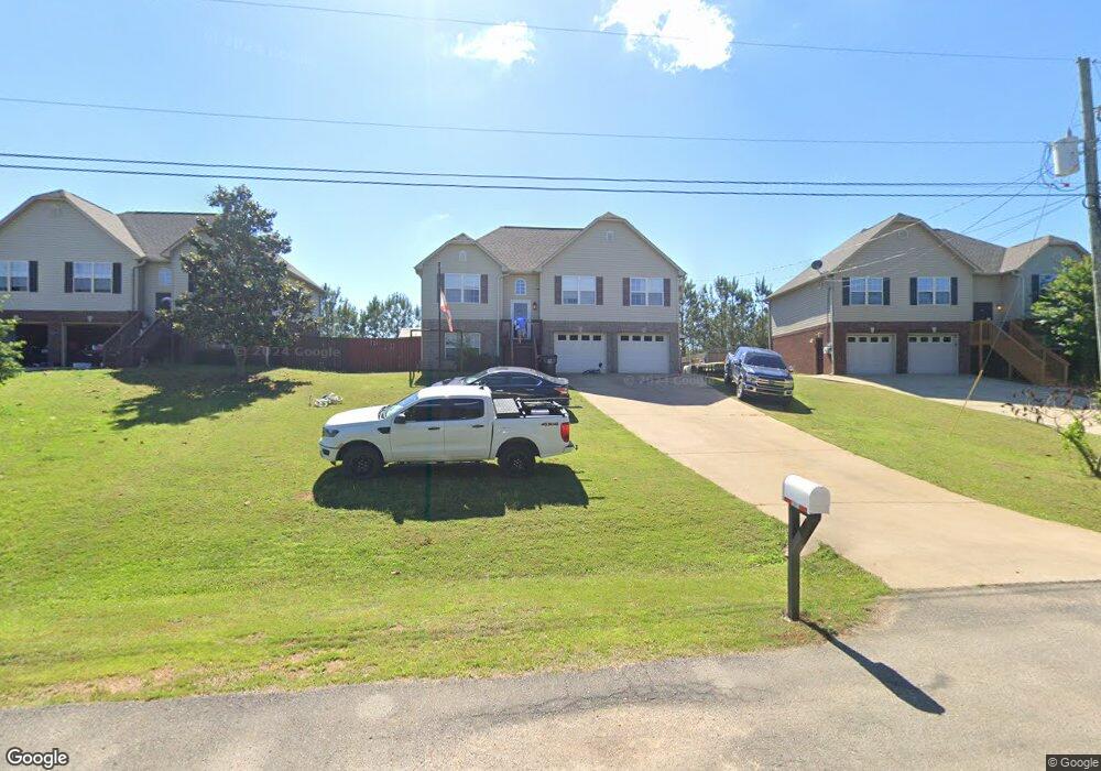
This home is located at 280 Dust Ridge Rd Unit 50, Moody, AL 35004 and is currently estimated at $225,694, approximately $178 per square foot. 280 Dust Ridge Rd Unit 50 is a home located in St. Clair County with nearby schools including Moody Elementary School, Moody Middle School, and Moody High School.
Ownership History
Date
Name
Owned For
Owner Type
Purchase Details
Closed on
May 30, 2014
Sold by
Washington Torre
Bought by
Tibbs William Lance and Tibbs Renita Suzanne
Current Estimated Value
Home Financials for this Owner
Home Financials are based on the most recent Mortgage that was taken out on this home.
Original Mortgage
$139,945
Outstanding Balance
$107,082
Interest Rate
4.36%
Mortgage Type
VA
Estimated Equity
$118,612
Purchase Details
Closed on
Oct 27, 2008
Sold by
Four Star Investments Inc
Bought by
Washington Torre
Home Financials for this Owner
Home Financials are based on the most recent Mortgage that was taken out on this home.
Original Mortgage
$127,500
Interest Rate
6.11%
Mortgage Type
New Conventional
Create a Home Valuation Report for This Property
The Home Valuation Report is an in-depth analysis detailing your home's value as well as a comparison with similar homes in the area
Home Values in the Area
Average Home Value in this Area
Purchase History
| Date | Buyer | Sale Price | Title Company |
|---|---|---|---|
| Tibbs William Lance | $137,000 | None Available | |
| Washington Torre | $127,500 | None Available |
Source: Public Records
Mortgage History
| Date | Status | Borrower | Loan Amount |
|---|---|---|---|
| Open | Tibbs William Lance | $139,945 | |
| Previous Owner | Washington Torre | $127,500 |
Source: Public Records
Tax History Compared to Growth
Tax History
| Year | Tax Paid | Tax Assessment Tax Assessment Total Assessment is a certain percentage of the fair market value that is determined by local assessors to be the total taxable value of land and additions on the property. | Land | Improvement |
|---|---|---|---|---|
| 2024 | $544 | $32,880 | $5,200 | $27,680 |
| 2023 | $544 | $32,880 | $5,200 | $27,680 |
| 2022 | $452 | $13,894 | $2,600 | $11,294 |
| 2021 | $452 | $13,894 | $2,600 | $11,294 |
| 2020 | $470 | $14,395 | $2,600 | $11,795 |
| 2019 | $470 | $14,395 | $2,600 | $11,795 |
| 2018 | $422 | $13,060 | $0 | $0 |
| 2017 | $479 | $13,060 | $0 | $0 |
| 2016 | $422 | $13,060 | $0 | $0 |
| 2015 | $479 | $13,060 | $0 | $0 |
| 2014 | $479 | $13,300 | $0 | $0 |
Source: Public Records
Map
Nearby Homes
- 5953 Old Acton Rd
- 5970 Old Acton Rd
- 125 Bates Ln
- 5618 Old Acton Rd
- 220 Virginia Way Unit 69
- 15 Stevens Cove Dr
- 230 Virginia Way Unit 68
- The Redmont I 1 Plan at Steven's Cove
- The Benton 1 Plan at Steven's Cove
- The Florabelle II 1 Plan at Steven's Cove
- The Marlin 1 Plan at Steven's Cove
- 45 Stevens Cove Dr
- 260 Virginia Way Unit 65
- 270 Virginia Way Unit 64
- 280 Virginia Way Unit 63
- 290 Virginia Way Unit 62
- 300 Virginia Way Unit 61
- 310 Virginia Way Unit 60
- 1180 Brookhaven Dr
- 1110 Brookhaven Dr
- 280 Dust Ridge Rd
- 270 Dust Ridge Rd
- 270 Dust Ridge Rd Unit 49
- 290 Dust Ridge Rd
- 290 Dust Ridge Rd Unit 51
- 5937 Old Acton Rd
- 300 Dust Ridge Rd
- 300 Dust Ridge Rd Unit 52
- 260 Dust Ridge Rd
- 260 Dust Ridge Rd Unit 48
- 5933 Old Acton Rd
- 5945 Old Acton Rd
- 0 Dust Ridge Rd Unit 73 839612
- 0 Dust Ridge Rd Unit 72 839607
- 0 Dust Ridge Rd Unit 70 839602
- 0 Dust Ridge Rd Unit 69 839601
- 0 Dust Ridge Rd Unit 68 839598
- 0 Dust Ridge Rd Unit 67 839595
- 0 Dust Ridge Rd Unit 66 839594
- 0 Dust Ridge Rd Unit 62 839592