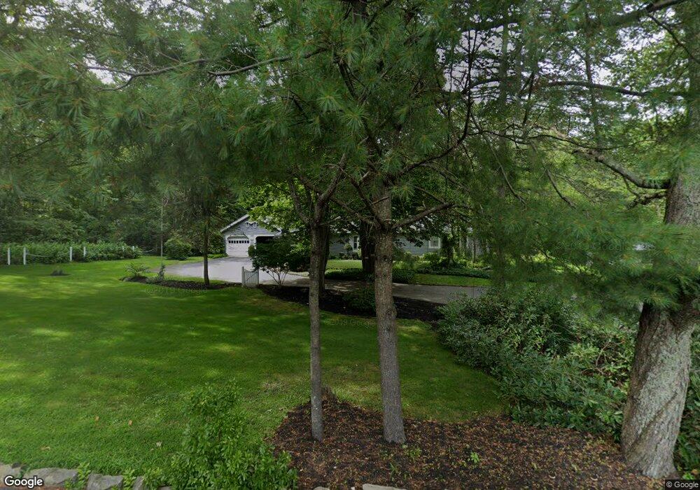
280 Emerson Ave Hampstead, NH 03841
Estimated Value: $485,013 - $619,000
3
Beds
2
Baths
2,550
Sq Ft
$218/Sq Ft
Est. Value
About This Home
This home is located at 280 Emerson Ave, Hampstead, NH 03841 and is currently estimated at $556,753, approximately $218 per square foot. 280 Emerson Ave is a home located in Rockingham County with nearby schools including Hampstead Central School, Hampstead Middle School, and Pinkerton Academy.
Ownership History
Date
Name
Owned For
Owner Type
Purchase Details
Closed on
Mar 23, 2022
Sold by
Stokinger Deborah and Dingman Tammy
Bought by
Gallant Ryan
Current Estimated Value
Home Financials for this Owner
Home Financials are based on the most recent Mortgage that was taken out on this home.
Original Mortgage
$314,204
Outstanding Balance
$294,350
Interest Rate
4.16%
Mortgage Type
FHA
Estimated Equity
$262,403
Purchase Details
Closed on
May 21, 2013
Sold by
Randall Maurice I and Randall Juanita J
Bought by
Randall Ft and Randall Maurice I
Create a Home Valuation Report for This Property
The Home Valuation Report is an in-depth analysis detailing your home's value as well as a comparison with similar homes in the area
Home Values in the Area
Average Home Value in this Area
Purchase History
| Date | Buyer | Sale Price | Title Company |
|---|---|---|---|
| Gallant Ryan | $320,000 | None Available | |
| Randall Ft | -- | -- |
Source: Public Records
Mortgage History
| Date | Status | Borrower | Loan Amount |
|---|---|---|---|
| Open | Gallant Ryan | $314,204 |
Source: Public Records
Tax History Compared to Growth
Tax History
| Year | Tax Paid | Tax Assessment Tax Assessment Total Assessment is a certain percentage of the fair market value that is determined by local assessors to be the total taxable value of land and additions on the property. | Land | Improvement |
|---|---|---|---|---|
| 2024 | $9,188 | $495,600 | $213,200 | $282,400 |
| 2023 | $8,250 | $324,300 | $154,200 | $170,100 |
| 2022 | $7,679 | $324,300 | $154,200 | $170,100 |
| 2021 | $7,378 | $324,300 | $154,200 | $170,100 |
| 2020 | $6,989 | $324,300 | $154,200 | $170,100 |
| 2016 | $7,028 | $290,400 | $94,200 | $196,200 |
| 2015 | $6,514 | $290,400 | $94,200 | $196,200 |
| 2014 | $6,514 | $290,400 | $94,200 | $196,200 |
| 2006 | $5,967 | $329,300 | $121,200 | $208,100 |
Source: Public Records
Map
Nearby Homes
- 14 Meredith Dr
- 16 Edmund Meadow Ln
- 13 Autumn Ln
- 35 Kelly Brook Ln
- 3 Cameron Ct Unit 3
- 185 Buttrick Rd
- 33 Pillsbury Rd
- 39 Kibrel Ct
- 4 Hastings Dr
- 32 Ells Rd
- 26 Main St
- 12 Stage Rd
- 5 Grandview Terrace
- 00 Woodridge Rd
- 6 Russett Ln
- 9 Trues Pkwy
- 7 Trues Pkwy
- 1 Remington Dr Unit 904C
- 55 Woodridge Rd
- 42 Country Rd
- 14 Jody Ln
- 266 Emerson Ave
- 296 Emerson Ave
- 296 Emerson Ave Unit 4
- 296 Emerson Ave Unit 2
- 296 Emerson Ave Unit 3
- 10 Jody Ln
- 279 Emerson Ave
- 6 Randall Ln
- 6 Randall Ln Unit 1
- 6 Randall Ln Unit 3
- 6 Randall Ln Unit 2
- 6 Randall Ln Unit 4
- 2 Kristopher Dr
- 18 Jody Ln
- 260 Emerson Ave
- 1 Kristopher Dr
- 316 Wash Pond Rd
- 312 Wash Pond Rd
- 5 Kristopher Dr