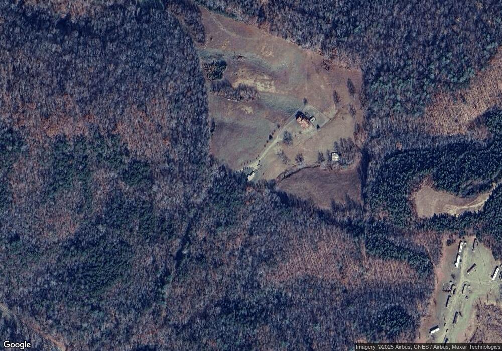
280 Emory Ln Mount Airy, NC 27030
Estimated Value: $358,000 - $436,000
3
Beds
2
Baths
2,220
Sq Ft
$178/Sq Ft
Est. Value
About This Home
This home is located at 280 Emory Ln, Mount Airy, NC 27030 and is currently estimated at $395,091, approximately $177 per square foot. 280 Emory Ln is a home with nearby schools including Flat Rock Elementary School, Meadowview Magnet Middle School, and North Surry High School.
Ownership History
Date
Name
Owned For
Owner Type
Purchase Details
Closed on
Dec 31, 2013
Sold by
Goins Bobby Dale and Goins Dana L
Bought by
Goins Franklin Dale and Goins Kayla Lynn
Current Estimated Value
Purchase Details
Closed on
May 22, 2008
Sold by
Hall Patsy Goins and Hall David Otis
Bought by
Goins Bobby Dale
Purchase Details
Closed on
Oct 1, 2002
Purchase Details
Closed on
Mar 1, 1993
Purchase Details
Closed on
Feb 1, 1988
Create a Home Valuation Report for This Property
The Home Valuation Report is an in-depth analysis detailing your home's value as well as a comparison with similar homes in the area
Home Values in the Area
Average Home Value in this Area
Purchase History
| Date | Buyer | Sale Price | Title Company |
|---|---|---|---|
| Goins Franklin Dale | -- | None Available | |
| Goins Bobby Dale | -- | None Available | |
| -- | -- | -- | |
| -- | $23,500 | -- | |
| -- | $20,500 | -- | |
| -- | -- | -- |
Source: Public Records
Tax History Compared to Growth
Tax History
| Year | Tax Paid | Tax Assessment Tax Assessment Total Assessment is a certain percentage of the fair market value that is determined by local assessors to be the total taxable value of land and additions on the property. | Land | Improvement |
|---|---|---|---|---|
| 2025 | $1,771 | $297,160 | $76,590 | $220,570 |
| 2024 | $1,482 | $231,370 | $68,310 | $163,060 |
| 2023 | $1,457 | $231,370 | $68,310 | $163,060 |
| 2022 | $1,457 | $231,370 | $68,310 | $163,060 |
| 2021 | $1,482 | $231,370 | $68,310 | $163,060 |
| 2020 | $1,356 | $202,600 | $62,100 | $140,500 |
| 2019 | $1,353 | $202,600 | $0 | $0 |
| 2018 | $1,350 | $202,600 | $0 | $0 |
| 2017 | $1,350 | $202,600 | $0 | $0 |
| 2016 | $1,273 | $190,690 | $0 | $0 |
| 2013 | -- | $192,370 | $0 | $0 |
Source: Public Records
Map
Nearby Homes
- 200 Englewood Trail
- 0 Blue Hollow Rd Unit 33 1176021
- 0 Blue Hollow Rd Unit 23105199
- 000 Blue Hollow Rd Unit 27
- 0 NE Pine St
- 00 Paynetown Rd
- 124 Rocky Ln
- 280 Burke Rd
- 583 Snody Rd
- 2384 Westfield Rd
- 2326 Westfield Rd
- 335 Badgett Ave
- 00 Blue Hollow Rd Unit 5
- 731 Indian Grove Church Rd
- 663 Mcbride Rd
- xx 44.93 Acres Stardust Trail
- 185 Glen Terrace
- 845 Linville Rd
- 201 Circle View Rd
- 107 Cory Trail
- 101 Timmons Ln
- 106 Sweden Ln
- 917 Quaker Rd
- 177 King Park Cir
- 790 Quaker Rd
- xx 45.48 ac +- Blue Hollow Rd
- 170 Kirkwood Trail
- 102 Quilters Trail
- xx Blue Hollow Rd
- 311 Blue Hollow Rd
- 754 Quaker Rd
- 146 King Park Cir
- 126 Kirkwood Trail
- 165 King Park Cir
- 928 Quaker Rd
- 114 Davis Acres Trail
- 946 Quaker Rd
- 148 Timmons Ln
- 262 Blue Hollow Rd
- 161 King Park Cir