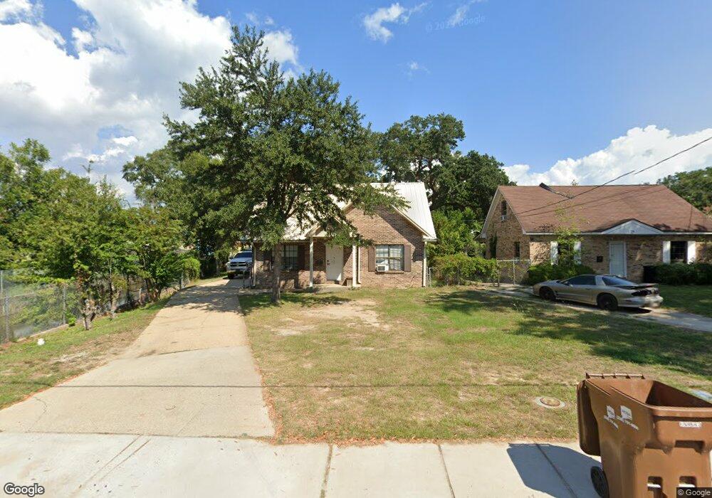
280 Forrest Ave Biloxi, MS 39530
Estimated Value: $159,000 - $173,000
3
Beds
2
Baths
1,329
Sq Ft
$126/Sq Ft
Est. Value
About This Home
This home is located at 280 Forrest Ave, Biloxi, MS 39530 and is currently estimated at $167,196, approximately $125 per square foot. 280 Forrest Ave is a home located in Harrison County with nearby schools including Gorenflo Elementary School, Biloxi Junior High School, and Biloxi High School.
Ownership History
Date
Name
Owned For
Owner Type
Purchase Details
Closed on
Nov 10, 2016
Bought by
Bowers Joseph
Current Estimated Value
Home Financials for this Owner
Home Financials are based on the most recent Mortgage that was taken out on this home.
Original Mortgage
$70,000
Outstanding Balance
$56,313
Interest Rate
3.57%
Estimated Equity
$110,883
Purchase Details
Closed on
Sep 30, 2016
Sold by
Moody Dean
Bought by
Bowers Joseph A
Home Financials for this Owner
Home Financials are based on the most recent Mortgage that was taken out on this home.
Original Mortgage
$70,000
Outstanding Balance
$56,313
Interest Rate
3.57%
Estimated Equity
$110,883
Create a Home Valuation Report for This Property
The Home Valuation Report is an in-depth analysis detailing your home's value as well as a comparison with similar homes in the area
Home Values in the Area
Average Home Value in this Area
Purchase History
| Date | Buyer | Sale Price | Title Company |
|---|---|---|---|
| Bowers Joseph | -- | -- | |
| Bowers Joseph A | -- | -- |
Source: Public Records
Mortgage History
| Date | Status | Borrower | Loan Amount |
|---|---|---|---|
| Open | Bowers Joseph | $70,000 | |
| Closed | Bowers Joseph | -- | |
| Closed | Bowers Joseph A | $70,695 |
Source: Public Records
Tax History Compared to Growth
Tax History
| Year | Tax Paid | Tax Assessment Tax Assessment Total Assessment is a certain percentage of the fair market value that is determined by local assessors to be the total taxable value of land and additions on the property. | Land | Improvement |
|---|---|---|---|---|
| 2025 | $686 | $9,295 | $0 | $0 |
| 2024 | $686 | $8,897 | $0 | $0 |
| 2023 | $677 | $8,897 | $0 | $0 |
| 2022 | $677 | $8,897 | $0 | $0 |
| 2021 | $677 | $8,897 | $0 | $0 |
| 2020 | $598 | $8,170 | $0 | $0 |
| 2019 | $598 | $8,170 | $0 | $0 |
| 2018 | $898 | $8,170 | $0 | $0 |
| 2017 | $898 | $8,170 | $0 | $0 |
| 2015 | $1,379 | $12,551 | $0 | $0 |
| 2014 | -- | $14,644 | $0 | $0 |
| 2013 | -- | $12,551 | $3,140 | $9,411 |
Source: Public Records
Map
Nearby Homes
- 281 Forrest Ave
- 262 Forrest Ave
- 1067 Division St
- 1093 Cherokee St
- 1085 Cherokee St
- 1076 Cherokee St
- 1091 Frank P Corso St
- 1126 Judge Sekul Ave
- 258 Querens Ave
- 1079 Frank P Corso St
- 403 Gill Ave
- 265 Benachi Ave Unit A & B
- 255 Benachi Ave Unit A&B
- 1050 Frank P Corso St
- 224 Querens Ave
- 000 Graham Ave
- 1054 Columbus St
- 222 Benachi Ave
- 1028 Esposito St
- 970 Division St
- 276 Forrest Ave
- 283 Porter Ave
- 283 Porter Ave
- 274 Forrest Ave
- 290 Forrest Ave
- 271 Porter Ave
- 281 Porter Ave
- 287 Forrest Ave
- 1075 Division St
- 264 Forrest Ave
- 293 Forrest Ave
- 269 Forrest Ave
- 275 Forrest Ave
- 295 Forrest Ave
- 267 Forrest Ave
- 299 Forrest Ave
- 1092 Division St
- 261 Porter Ave
- 1084 Division St
- 1098 Division St