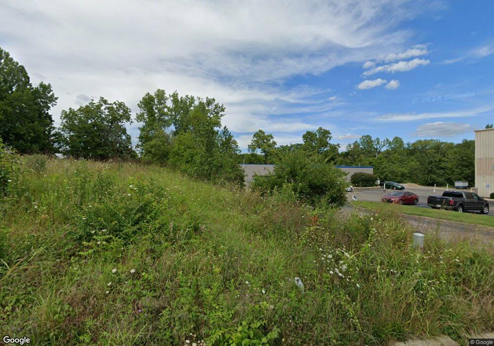
280 Hiawatha Trail Springboro, OH 45066
Estimated Value: $547,318
--
Bed
--
Bath
5,000
Sq Ft
$109/Sq Ft
Est. Value
About This Home
This home is located at 280 Hiawatha Trail, Springboro, OH 45066 and is currently estimated at $547,318, approximately $109 per square foot. 280 Hiawatha Trail is a home located in Warren County with nearby schools including Franklin High School and The CinDay Academy.
Ownership History
Date
Name
Owned For
Owner Type
Purchase Details
Closed on
Apr 30, 2018
Sold by
Lawson Dan E
Bought by
Longworth Development Llc
Current Estimated Value
Purchase Details
Closed on
Apr 1, 2004
Sold by
Lawson Katherine J
Bought by
Lawson Dan E
Create a Home Valuation Report for This Property
The Home Valuation Report is an in-depth analysis detailing your home's value as well as a comparison with similar homes in the area
Home Values in the Area
Average Home Value in this Area
Purchase History
| Date | Buyer | Sale Price | Title Company |
|---|---|---|---|
| Longworth Development Llc | $350,000 | -- | |
| Lawson Dan E | -- | -- |
Source: Public Records
Mortgage History
| Date | Status | Borrower | Loan Amount |
|---|---|---|---|
| Open | Longworth Development Llc | $68,819 | |
| Previous Owner | Lawson Dan E | $191,103 |
Source: Public Records
Tax History Compared to Growth
Tax History
| Year | Tax Paid | Tax Assessment Tax Assessment Total Assessment is a certain percentage of the fair market value that is determined by local assessors to be the total taxable value of land and additions on the property. | Land | Improvement |
|---|---|---|---|---|
| 2024 | $7,780 | $136,240 | $22,780 | $113,460 |
| 2023 | $7,744 | $122,276 | $20,706 | $101,570 |
| 2022 | $7,744 | $122,276 | $20,706 | $101,570 |
| 2021 | $7,408 | $122,276 | $20,706 | $101,570 |
| 2020 | $8,074 | $122,276 | $20,706 | $101,570 |
| 2019 | $7,029 | $122,276 | $20,706 | $101,570 |
| 2018 | $6,722 | $117,061 | $20,706 | $96,355 |
| 2017 | $5,513 | $73,311 | $20,706 | $52,605 |
| 2016 | $5,622 | $73,311 | $20,706 | $52,605 |
| 2015 | $1,243 | $73,311 | $20,706 | $52,605 |
| 2014 | $1,243 | $20,710 | $20,710 | $0 |
| 2013 | $1,075 | $20,710 | $20,710 | $0 |
Source: Public Records
Map
Nearby Homes
- 180 Teakwood Ln
- 375 Tamarack Trail
- 100 Cedar Hill Ln
- 450 Evergreen Dr
- 131 Queen Ann Ct
- 2649 Factory Rd
- 14 Ed Knoll Bend
- 25 Copperhead Trail
- 45 Wadestone St
- 45 Wadestone Ln
- 20 Cinnamon Ct
- 2530 Factory Rd
- Calvin Plan at Wadestone - Designer Collection
- Charles Plan at Eastbrook Farms - Designer Collection
- Charles Plan at Wadestone - Designer Collection
- Huxley Plan at Wadestone - Masterpiece Collection
- Calvin Plan at Eastbrook Farms - Designer Collection
- Wyatt Plan at Wadestone - Designer Collection
- Winston Plan at Wadestone - Designer Collection
- Grandin Plan at Eastbrook Farms - Designer Collection
- 454 Hiawatha Trail
- 15 Woodhill Dr
- 216 Tahlequah Trail
- 201 Hiawatha Trail
- 8617 Clearcreek Rd
- 8593 Clearcreek Franklin Rd
- 8593 Clearcreek Rd
- 8593 Clearcreek Franklin Rd
- 8585 Clearcreek Rd
- 34 N Pioneer Blvd
- 8673 Clearcreek Rd
- 8557 Clearcreek Rd
- 8557 Clearcreek Franklin Rd
- 8541 Clearcreek Rd
- 8521 Clearcreek Rd
- 8745 Clearcreek Franklin Rd
- 8745 Clearcreek Rd
- 8727 Clearcreek Rd
- 10 Aime Dr
- 54 Hiawatha Trail
