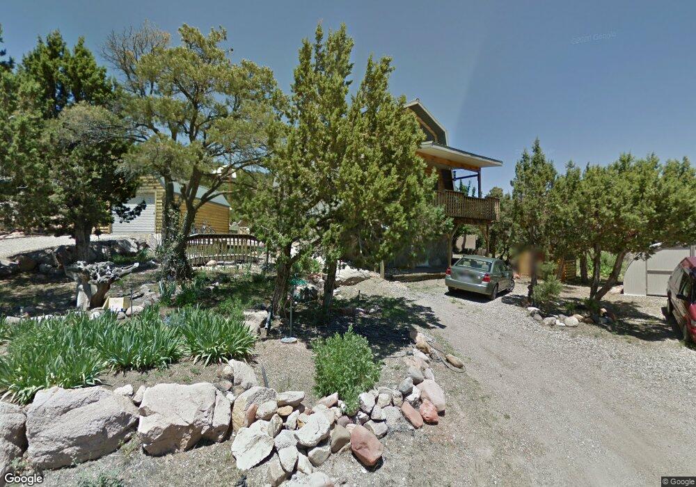
280 Hole N Rock Cir Unit HOLE-N Central, UT 84722
Estimated Value: $339,000 - $394,231
2
Beds
3
Baths
1,768
Sq Ft
$208/Sq Ft
Est. Value
About This Home
This home is located at 280 Hole N Rock Cir Unit HOLE-N, Central, UT 84722 and is currently estimated at $367,308, approximately $207 per square foot. 280 Hole N Rock Cir Unit HOLE-N is a home located in Washington County with nearby schools including Enterprise School and Enterprise High School.
Ownership History
Date
Name
Owned For
Owner Type
Purchase Details
Closed on
Jun 24, 2011
Sold by
Barnhardt Michael
Bought by
Barnhardt Michael and Barnhardt Lisa K
Current Estimated Value
Home Financials for this Owner
Home Financials are based on the most recent Mortgage that was taken out on this home.
Original Mortgage
$120,000
Outstanding Balance
$83,190
Interest Rate
4.75%
Mortgage Type
FHA
Estimated Equity
$284,118
Purchase Details
Closed on
Feb 8, 2010
Sold by
Hinkle Lavon J
Bought by
Barnhardt Michael and Barnhardt Lisa K
Home Financials for this Owner
Home Financials are based on the most recent Mortgage that was taken out on this home.
Original Mortgage
$116,250
Interest Rate
5.11%
Mortgage Type
Purchase Money Mortgage
Create a Home Valuation Report for This Property
The Home Valuation Report is an in-depth analysis detailing your home's value as well as a comparison with similar homes in the area
Home Values in the Area
Average Home Value in this Area
Purchase History
| Date | Buyer | Sale Price | Title Company |
|---|---|---|---|
| Barnhardt Michael | -- | Accommodation | |
| Barnhardt Michael | -- | Inwest Title Svcs St George | |
| Barnhardt Michael | -- | Southern Utah Title |
Source: Public Records
Mortgage History
| Date | Status | Borrower | Loan Amount |
|---|---|---|---|
| Open | Barnhardt Michael | $120,000 | |
| Closed | Barnhardt Michael | $116,250 |
Source: Public Records
Tax History Compared to Growth
Tax History
| Year | Tax Paid | Tax Assessment Tax Assessment Total Assessment is a certain percentage of the fair market value that is determined by local assessors to be the total taxable value of land and additions on the property. | Land | Improvement |
|---|---|---|---|---|
| 2025 | $1,224 | $178,365 | $39,325 | $139,040 |
| 2023 | $1,023 | $172,755 | $39,325 | $133,430 |
| 2022 | $1,141 | $180,235 | $25,740 | $154,495 |
| 2021 | $1,036 | $245,900 | $33,000 | $212,900 |
| 2020 | $945 | $213,500 | $27,500 | $186,000 |
| 2019 | $921 | $203,700 | $27,500 | $176,200 |
| 2018 | $878 | $98,450 | $0 | $0 |
| 2017 | $736 | $82,610 | $0 | $0 |
| 2016 | $761 | $78,650 | $0 | $0 |
| 2015 | $750 | $74,580 | $0 | $0 |
| 2014 | $1,358 | $62,700 | $0 | $0 |
Source: Public Records
Map
Nearby Homes
- 53-61 N Sundance Kid Trail
- 375 N Matt Dillon Trail
- 380 W Butch Cassidy Cir
- 25 N Doc Holiday Ln
- 25 N Doc Holiday Ln Unit 49
- 0 Utah 18
- 158 N Red Hill Rd
- 328 E Hillcrest
- 324 Hillside Cir
- 202 E Rye Dr
- 375 Hillcrest Cir
- 342 E Foothill Cir
- 171 E Orchard
- 370 E Foothill Cir
- 165 E Forest Dr Unit 4
- 165 E Forest Dr Unit Lot 4
- 0 E Forest Dr
- 425 E Mule Deer Rd
- 177 E Forest Dr
- 122 N Pine View Dr
- 280 Hole N Rock Cir
- 269 W Hole N the Rock
- 278 Dodge City Trail
- 269 Hole N Rock Cir
- 245 Dodge City Trail
- 269 W Hole-N Rock Cir
- 261 Dodge City Trail
- 261 Dodge City Trail
- 273 W Butch Cassidy Trail
- 241 Dodge City Trail
- 306 W Cave Cir
- 306 Cave Cir
- 203 N Matt Dillon Trail
- 241 Dodge City Trail
- 280 Dodge City Trail
- 183 N Matt Dillon Trail
- 301 Cave Cir
- 260 Dodge City Trail
- 260 Dodge City Trail
- 0 Matt Dillontrail