280 Independence Loop Lexington, TN 38351
Estimated Value: $62,708 - $112,000
Studio
1
Bath
610
Sq Ft
$147/Sq Ft
Est. Value
About This Home
This home is located at 280 Independence Loop, Lexington, TN 38351 and is currently estimated at $89,427, approximately $146 per square foot. 280 Independence Loop is a home located in Henderson County.
Ownership History
Date
Name
Owned For
Owner Type
Purchase Details
Closed on
Oct 7, 2024
Sold by
Farley Rick and Farley Rick G
Bought by
Dvd Development Llc
Current Estimated Value
Purchase Details
Closed on
Apr 8, 2019
Sold by
Mccarver James Lee Estate
Bought by
Mccarver Katie Lynn
Purchase Details
Closed on
May 20, 2005
Sold by
Hogan Albert E
Bought by
Lee Mccarver
Purchase Details
Closed on
Apr 13, 2000
Sold by
Hogan Albert E
Bought by
Cross Betty S
Purchase Details
Closed on
Aug 25, 1989
Bought by
Hogan Albert E and Betty Cooper
Purchase Details
Closed on
Oct 3, 1972
Bought by
Moore Edward and Moore Nesta L
Create a Home Valuation Report for This Property
The Home Valuation Report is an in-depth analysis detailing your home's value as well as a comparison with similar homes in the area
Purchase History
| Date | Buyer | Sale Price | Title Company |
|---|---|---|---|
| Dvd Development Llc | $1,030,000 | None Listed On Document | |
| Mccarver Katie Lynn | $34,000 | -- | |
| Lee Mccarver | $25,000 | -- | |
| Cross Betty S | -- | -- | |
| Hogan Albert E | $15,000 | -- | |
| Moore Edward | -- | -- |
Source: Public Records
Tax History
| Year | Tax Paid | Tax Assessment Tax Assessment Total Assessment is a certain percentage of the fair market value that is determined by local assessors to be the total taxable value of land and additions on the property. | Land | Improvement |
|---|---|---|---|---|
| 2025 | $142 | $9,000 | $2,450 | $6,550 |
| 2024 | $142 | $9,000 | $2,450 | $6,550 |
| 2023 | $142 | $9,000 | $2,450 | $6,550 |
| 2022 | $161 | $6,800 | $1,975 | $4,825 |
| 2021 | $161 | $6,800 | $1,975 | $4,825 |
| 2020 | $161 | $6,800 | $1,975 | $4,825 |
| 2019 | $214 | $6,800 | $1,975 | $4,825 |
| 2018 | $167 | $7,325 | $1,975 | $5,350 |
| 2017 | $167 | $7,325 | $1,975 | $5,350 |
| 2016 | $169 | $7,100 | $1,975 | $5,125 |
| 2015 | $169 | $7,100 | $1,975 | $5,125 |
| 2014 | $169 | $7,099 | $0 | $0 |
Source: Public Records
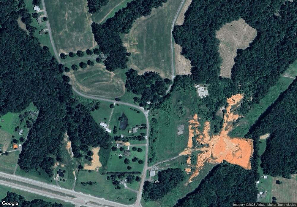
Map
Nearby Homes
- 0 End of 95 @ I-40
- 220 Lakewood Dr E
- 1840 Blue Goose Rd
- 1885 Blue Goose Rd
- 0 Liberty Claybrook Rd
- 00 Liberty Claybrook Rd
- 992 Greenway Rd
- 48 Southshore Dr
- 151 Williams Ln
- 883 Crucifer Rd
- 23 Springview Dr
- 0 Cotton Grove Rd
- 47 Mill Dr
- 00 Spring Creek Law Rd
- 459 Liberty Rd
- 28 Springview Dr
- 212 Springview Dr
- 2250 Crucifer Rd
- 462 Juno Bargerton Rd
- 479 Fowler Rd
- 217 Independence Loop
- 85 Independence Loop
- 193 Independence Loop
- 480 Independence Loop
- 100 Independence Loop
- 245 Us Highway 412 W
- 403 Highway 412 W
- 403 U S 412
- 561 Independence Loop
- 430 U S 412
- 000 Independence Loop
- 575 Independence Loop
- 597 Independence Loop
- 775 Highway 412 W
- 235 Us Highway 412 W
- 245 Gurley Rd
- 199 Us Highway 412 W
- 203 U S 412
- 700 Independence Loop
- 207 Us Highway 412 W
Your Personal Tour Guide
Ask me questions while you tour the home.