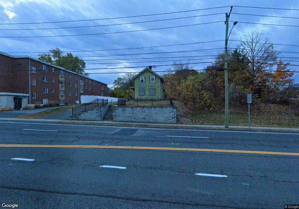
280 Pine St Bristol, CT 06010
Forestville NeighborhoodEstimated Value: $291,000 - $578,005
2
Beds
1
Bath
1,104
Sq Ft
$391/Sq Ft
Est. Value
About This Home
This home is located at 280 Pine St, Bristol, CT 06010 and is currently estimated at $431,251, approximately $390 per square foot. 280 Pine St is a home located in Hartford County with nearby schools including Bristol Central High School, St Matthew School, and St. Joseph School.
Ownership History
Date
Name
Owned For
Owner Type
Purchase Details
Closed on
Sep 22, 2022
Sold by
Colette Joseph F Est and Colette
Bought by
266 Pine Llc
Current Estimated Value
Purchase Details
Closed on
Aug 21, 1995
Sold by
Colette Joseph
Bought by
Smith Murdo T and Pierson Lisa A
Home Financials for this Owner
Home Financials are based on the most recent Mortgage that was taken out on this home.
Original Mortgage
$94,000
Interest Rate
8%
Mortgage Type
Purchase Money Mortgage
Create a Home Valuation Report for This Property
The Home Valuation Report is an in-depth analysis detailing your home's value as well as a comparison with similar homes in the area
Home Values in the Area
Average Home Value in this Area
Purchase History
| Date | Buyer | Sale Price | Title Company |
|---|---|---|---|
| 266 Pine Llc | $450,000 | None Available | |
| Smith Murdo T | $100,000 | -- |
Source: Public Records
Mortgage History
| Date | Status | Borrower | Loan Amount |
|---|---|---|---|
| Previous Owner | Smith Murdo T | $94,000 | |
| Previous Owner | Smith Murdo T | $58,250 |
Source: Public Records
Tax History
| Year | Tax Paid | Tax Assessment Tax Assessment Total Assessment is a certain percentage of the fair market value that is determined by local assessors to be the total taxable value of land and additions on the property. | Land | Improvement |
|---|---|---|---|---|
| 2025 | $4,222 | $125,100 | $43,130 | $81,970 |
| 2024 | $3,984 | $125,100 | $43,130 | $81,970 |
| 2023 | $3,797 | $125,100 | $43,130 | $81,970 |
| 2022 | $3,163 | $82,470 | $25,080 | $57,390 |
| 2021 | $3,163 | $82,470 | $25,080 | $57,390 |
| 2020 | $3,163 | $82,470 | $25,080 | $57,390 |
| 2019 | $3,138 | $82,470 | $25,070 | $57,400 |
| 2018 | $3,041 | $82,470 | $25,070 | $57,400 |
| 2017 | $3,024 | $83,920 | $34,150 | $49,770 |
| 2016 | $3,024 | $83,920 | $34,150 | $49,770 |
| 2015 | $2,904 | $83,920 | $34,150 | $49,770 |
| 2014 | $2,904 | $83,920 | $34,150 | $49,770 |
Source: Public Records
Map
Nearby Homes
- 524 Broad St
- 122 Bayberry Dr
- 196 Frederick St
- 370 Emmett St Unit 5-5
- 370 Emmett St Unit 5-2
- 370 Emmett St Unit 4-3
- 370 Emmett St Unit 4-2
- 370 Emmett St Unit 3-2
- 370 Emmett St Unit 5-3
- 370 Emmett St Unit 3-4
- 370 Emmett St Unit 4-1
- 370 Emmett St Unit 5-1
- 370 Emmett St Unit 5-4
- 370 Emmett St Unit 3-3
- 64 4th St
- 155 Redstone Hill Rd Unit 60
- 155 Redstone Hill Rd Unit 176
- 156 New St
- 513 Emmett St Unit 13
- 33 Kenney St
Your Personal Tour Guide
Ask me questions while you tour the home.