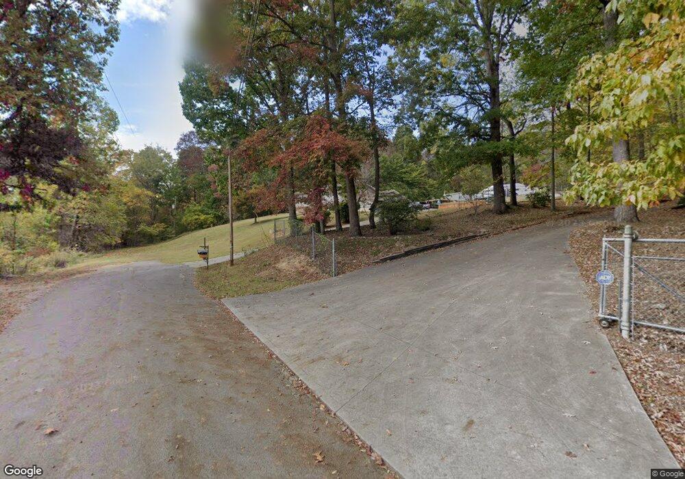
280 Sandy Ln Maynardville, TN 37807
Paulette NeighborhoodEstimated Value: $341,148 - $413,000
--
Bed
3
Baths
2,578
Sq Ft
$143/Sq Ft
Est. Value
About This Home
This home is located at 280 Sandy Ln, Maynardville, TN 37807 and is currently estimated at $368,037, approximately $142 per square foot. 280 Sandy Ln is a home located in Union County with nearby schools including Paulette Elementary School, Union County High School, and H Maynard Middle School.
Ownership History
Date
Name
Owned For
Owner Type
Purchase Details
Closed on
Dec 4, 2015
Sold by
Harmon Roy E
Bought by
Mayes Joseph A and Mayes Jessica L
Current Estimated Value
Home Financials for this Owner
Home Financials are based on the most recent Mortgage that was taken out on this home.
Original Mortgage
$160,636
Outstanding Balance
$125,445
Interest Rate
3.5%
Mortgage Type
FHA
Estimated Equity
$242,592
Purchase Details
Closed on
Sep 1, 1994
Sold by
James Estep
Bought by
Cross Tie Sales and Cross Tie Sales M
Purchase Details
Closed on
Jul 17, 1984
Bought by
Harmon Roy
Create a Home Valuation Report for This Property
The Home Valuation Report is an in-depth analysis detailing your home's value as well as a comparison with similar homes in the area
Home Values in the Area
Average Home Value in this Area
Purchase History
| Date | Buyer | Sale Price | Title Company |
|---|---|---|---|
| Mayes Joseph A | $163,600 | -- | |
| Mayes Joseph A | $163,600 | -- | |
| Cross Tie Sales | -- | -- | |
| Cross Tie Sales | -- | -- | |
| Harmon Roy | -- | -- | |
| Harmon Roy | -- | -- |
Source: Public Records
Mortgage History
| Date | Status | Borrower | Loan Amount |
|---|---|---|---|
| Open | Mayes Joseph A | $160,636 | |
| Closed | Mayes Joseph A | $160,636 |
Source: Public Records
Tax History Compared to Growth
Tax History
| Year | Tax Paid | Tax Assessment Tax Assessment Total Assessment is a certain percentage of the fair market value that is determined by local assessors to be the total taxable value of land and additions on the property. | Land | Improvement |
|---|---|---|---|---|
| 2024 | $1,150 | $60,525 | $9,100 | $51,425 |
| 2023 | $1,150 | $60,525 | $9,100 | $51,425 |
| 2022 | $962 | $60,525 | $9,100 | $51,425 |
| 2021 | $918 | $42,900 | $4,850 | $38,050 |
| 2020 | $918 | $42,900 | $4,850 | $38,050 |
| 2019 | $918 | $42,900 | $4,850 | $38,050 |
| 2018 | $918 | $42,900 | $4,850 | $38,050 |
| 2017 | $918 | $42,900 | $4,850 | $38,050 |
| 2016 | $831 | $38,275 | $4,375 | $33,900 |
| 2015 | $831 | $38,275 | $4,375 | $33,900 |
| 2014 | $685 | $38,279 | $0 | $0 |
Source: Public Records
Map
Nearby Homes
- 275 Dogwood Ln
- 112 Dogwood St
- 254 Dogwood Ln
- L-7 Williams Dr
- 215 Jamie St
- 211 Jamie St
- 213 Brock Rd
- 375 Russell Dr
- 0 Satterfield Rd Unit 1313221
- 9211 Brock Rd
- 7725 Texas Valley Rd
- 9210 Brock Rd
- 589 Possum Valley Rd
- 9024 Welch Rd
- 323 Maynardville Hwy
- 00 Old Tazewell Pike
- 346 Wolfenbarger Ln
- 8210 Wood Rd
- 8.30 acres Wolfenbarger Ln
- 7439 Haley Ln
- 272 Sandy Ln
- 263 Sandy Ln
- 254 Sandy Ln
- 0 Lot 46 Sandy Ln Unit 1125161
- 111 Sandy Ln
- 930 Beard Valley Rd
- 936 Beard Valley Rd
- 926 Beard Valley Rd
- Lot 44 Sandy Ln
- 244 Sandy Ln
- 920 Beard Valley Rd
- 916 Beard Valley Rd
- 240 Sandy Ln
- 243 Sandy Ln
- 234 Sandy Ln
- 105 Sandy Ln
- 935 Beard Valley Rd
- 236 Sandy Ln
- 118 Sandy Ln
- 232 Sandy Ln