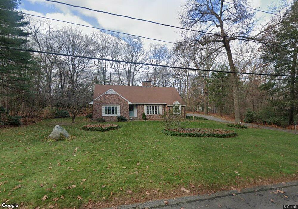
280 Sandy Pond Rd Concord, MA 01742
Estimated Value: $1,622,000 - $1,851,000
4
Beds
3
Baths
2,706
Sq Ft
$632/Sq Ft
Est. Value
About This Home
This home is located at 280 Sandy Pond Rd, Concord, MA 01742 and is currently estimated at $1,710,994, approximately $632 per square foot. 280 Sandy Pond Rd is a home located in Middlesex County with nearby schools including Alcott Elementary School, Concord Middle School, and The Fenn School.
Ownership History
Date
Name
Owned For
Owner Type
Purchase Details
Closed on
Mar 1, 1978
Bought by
Prussing Carl A and Prussing Karen S
Current Estimated Value
Create a Home Valuation Report for This Property
The Home Valuation Report is an in-depth analysis detailing your home's value as well as a comparison with similar homes in the area
Home Values in the Area
Average Home Value in this Area
Purchase History
| Date | Buyer | Sale Price | Title Company |
|---|---|---|---|
| Prussing Carl A | $93,000 | -- |
Source: Public Records
Mortgage History
| Date | Status | Borrower | Loan Amount |
|---|---|---|---|
| Open | Prussing Carl A | $369,500 | |
| Closed | Prussing Carl A | $326,000 | |
| Closed | Prussing Carl A | $290,000 |
Source: Public Records
Tax History Compared to Growth
Tax History
| Year | Tax Paid | Tax Assessment Tax Assessment Total Assessment is a certain percentage of the fair market value that is determined by local assessors to be the total taxable value of land and additions on the property. | Land | Improvement |
|---|---|---|---|---|
| 2025 | $199 | $1,499,700 | $653,000 | $846,700 |
| 2024 | $19,120 | $1,456,200 | $609,500 | $846,700 |
| 2023 | $16,455 | $1,269,700 | $580,400 | $689,300 |
| 2022 | $14,927 | $1,011,300 | $422,100 | $589,200 |
| 2021 | $15,107 | $1,026,300 | $422,100 | $604,200 |
| 2020 | $13,634 | $958,100 | $369,300 | $588,800 |
| 2019 | $13,605 | $958,800 | $379,200 | $579,600 |
| 2018 | $12,981 | $908,400 | $380,600 | $527,800 |
| 2017 | $12,527 | $890,300 | $362,500 | $527,800 |
| 2016 | $11,286 | $810,800 | $325,400 | $485,400 |
| 2015 | $11,242 | $786,700 | $344,300 | $442,400 |
Source: Public Records
Map
Nearby Homes
- 9 Garland Rd
- 646 Cambridge Turnpike
- 22 Old Cambridge Turnpike
- 16 Old Cambridge Turnpike
- 61B Walden St
- 140 Revolutionary Rd
- 35 Chestnut St
- 96 Independence Rd
- 241 Shadyside Ave
- 181 Stow St
- 143 Everett St
- 60 Baker Bridge Rd
- 84 Bruce Rd
- 236 Fairhaven Rd
- 44 Baker Bridge Rd
- 33 Old Concord Rd
- 38-40 Court Ln
- 58 Peter Spring Rd
- 16 Hatch Farm Ln
- 10 Hatch Farm Ln
- 4 Fox Run Rd
- 8 Autumn Ln
- 262 Sandy Pond Rd
- 225 Sandy Pond Rd
- 247 Sandy Pond Rd
- 10 Fox Run Rd
- 11 Fox Run Rd
- 275 Sandy Pond Rd
- 261 Sandy Pond Rd
- 36 Autumn Ln
- 219 Sandy Pond Rd
- 219 Sandy Pond Rd Unit 219
- 223 Sandy Pond Rd
- 228 Sandy Pond Rd
- 247 Sandy Pond Rd
- 51 Autumn Ln
- 14 Fox Run Rd
- 15 Fox Run Rd
- 52 Autumn Ln
- 217 Sandy Pond Rd