Estimated Value: $394,000 - $571,000
3
Beds
2
Baths
1,640
Sq Ft
$296/Sq Ft
Est. Value
About This Home
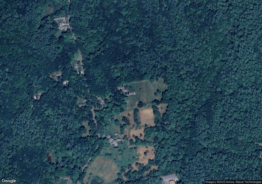
This home is located at 280 Valley Rd, Mason, NH 03048 and is currently estimated at $485,816, approximately $296 per square foot. 280 Valley Rd is a home located in Hillsborough County.
Ownership History
Date
Name
Owned For
Owner Type
Purchase Details
Closed on
Dec 16, 2013
Sold by
Mann Bruce E and Mann Lauren R
Bought by
Mason Mann Family Llc
Current Estimated Value
Purchase Details
Closed on
Jul 27, 2009
Sold by
Robinson Earle P
Bought by
Mann Bruce E and Mann Lauren R
Purchase Details
Closed on
Dec 16, 1997
Sold by
Hurley Est Clare M
Bought by
Robinson Earle P
Home Financials for this Owner
Home Financials are based on the most recent Mortgage that was taken out on this home.
Original Mortgage
$92,000
Interest Rate
7.14%
Create a Home Valuation Report for This Property
The Home Valuation Report is an in-depth analysis detailing your home's value as well as a comparison with similar homes in the area
Home Values in the Area
Average Home Value in this Area
Purchase History
| Date | Buyer | Sale Price | Title Company |
|---|---|---|---|
| Mason Mann Family Llc | $150,000 | -- | |
| Mann Bruce E | $185,000 | -- | |
| Robinson Earle P | $115,000 | -- |
Source: Public Records
Mortgage History
| Date | Status | Borrower | Loan Amount |
|---|---|---|---|
| Previous Owner | Robinson Earle P | $51,428 | |
| Previous Owner | Robinson Earle P | $92,000 |
Source: Public Records
Tax History Compared to Growth
Tax History
| Year | Tax Paid | Tax Assessment Tax Assessment Total Assessment is a certain percentage of the fair market value that is determined by local assessors to be the total taxable value of land and additions on the property. | Land | Improvement |
|---|---|---|---|---|
| 2024 | $8,271 | $323,700 | $113,700 | $210,000 |
| 2023 | $7,588 | $319,900 | $113,700 | $206,200 |
| 2022 | $6,504 | $319,900 | $113,700 | $206,200 |
| 2021 | $6,347 | $319,900 | $113,700 | $206,200 |
| 2020 | $5,821 | $215,500 | $91,400 | $124,100 |
| 2019 | $6,001 | $228,700 | $91,400 | $137,300 |
| 2018 | $5,759 | $228,700 | $91,400 | $137,300 |
| 2017 | $5,752 | $228,700 | $91,400 | $137,300 |
| 2016 | $5,766 | $228,700 | $91,400 | $137,300 |
| 2015 | $6,169 | $259,400 | $67,400 | $192,000 |
| 2014 | $6,176 | $259,400 | $67,400 | $192,000 |
| 2013 | $6,459 | $259,400 | $67,400 | $192,000 |
Source: Public Records
Map
Nearby Homes
- 137 Cascade Rd
- 75 Merriam Hill Rd
- 183 New Hillcrest Dr
- 1-65-C Barrett Rd
- 87 Laurel Dr
- 1275 Valley Rd
- 602 Fitchburg Rd Unit lot 19
- 988 Greenville Rd
- 1235 Townsend Rd
- 7 Bartons Ridge Rd
- 00 Turnpike Rd
- 74 Wright Rd
- 27 Old Mason Center Rd
- 11 Main St
- 32 Pleasant St
- 0 Davis Rd
- 0 Adams St Unit 26A
- 16 River St
- 16 River St Unit 16-18
- 38 Countryside Dr
- 294 Valley Rd
- 289 Valley Rd
- 330 Valley Rd
- 330 Valley Rd
- 243 Valley Rd
- 25 Cascade Rd
- Lot K-3-4 Valley Rd Unit K-3-4
- Lot K-3-4 Valley Rd
- 55 Cascade Rd
- 187 Valley Rd
- G31-1 Depot Rd
- 397 Valley Rd
- 197 Valley Rd
- Lot G-6-1 Cascade Rd
- 421 Valley Rd
- 433 Valley Rd
- 44 Valley Rd Unit K-44
- 233 Depot Rd
- 455 Valley Rd
- 246 Old Ashby Rd
