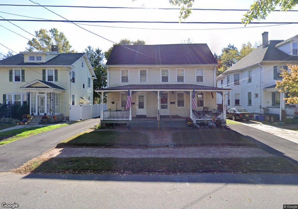
280 W 2nd St Unit 282 Moorestown, NJ 08057
Estimated Value: $564,639 - $641,000
--
Bed
--
Bath
2,500
Sq Ft
$246/Sq Ft
Est. Value
About This Home
This home is located at 280 W 2nd St Unit 282, Moorestown, NJ 08057 and is currently estimated at $614,160, approximately $245 per square foot. 280 W 2nd St Unit 282 is a home located in Burlington County with nearby schools including George C. Baker Elementary School, Moorestown Upper Elementary School, and William Allen Middle School.
Ownership History
Date
Name
Owned For
Owner Type
Purchase Details
Closed on
Jul 6, 2009
Sold by
The Carol Anne Lafon Trust
Bought by
Wittman Thomas and Wittman Marie
Current Estimated Value
Home Financials for this Owner
Home Financials are based on the most recent Mortgage that was taken out on this home.
Original Mortgage
$238,000
Interest Rate
4.83%
Mortgage Type
Purchase Money Mortgage
Purchase Details
Closed on
May 13, 2009
Sold by
The Carol Anne Lafon Trust
Bought by
Murphy Edward P
Home Financials for this Owner
Home Financials are based on the most recent Mortgage that was taken out on this home.
Original Mortgage
$238,000
Interest Rate
4.83%
Mortgage Type
Purchase Money Mortgage
Purchase Details
Closed on
Feb 10, 1995
Sold by
Lafon Carol Anne and Lafon Daniel S
Bought by
The Carol Anne Lafon Trust
Create a Home Valuation Report for This Property
The Home Valuation Report is an in-depth analysis detailing your home's value as well as a comparison with similar homes in the area
Home Values in the Area
Average Home Value in this Area
Purchase History
| Date | Buyer | Sale Price | Title Company |
|---|---|---|---|
| Wittman Thomas | $2,500 | None Available | |
| Murphy Edward P | $280,000 | Commonwealth Land Title Insu | |
| The Carol Anne Lafon Trust | -- | Commonwealth Land Title Insu | |
| The Carol Anne Lafon Trust | -- | -- |
Source: Public Records
Mortgage History
| Date | Status | Borrower | Loan Amount |
|---|---|---|---|
| Previous Owner | The Carol Anne Lafon Trust | $238,000 |
Source: Public Records
Tax History Compared to Growth
Tax History
| Year | Tax Paid | Tax Assessment Tax Assessment Total Assessment is a certain percentage of the fair market value that is determined by local assessors to be the total taxable value of land and additions on the property. | Land | Improvement |
|---|---|---|---|---|
| 2025 | $8,054 | $283,900 | $111,300 | $172,600 |
| 2024 | $7,810 | $283,900 | $111,300 | $172,600 |
| 2023 | $7,810 | $283,900 | $111,300 | $172,600 |
| 2022 | $7,731 | $283,900 | $111,300 | $172,600 |
| 2021 | $7,628 | $283,900 | $111,300 | $172,600 |
| 2020 | $7,580 | $283,900 | $111,300 | $172,600 |
| 2019 | $7,447 | $283,900 | $111,300 | $172,600 |
| 2018 | $7,245 | $283,900 | $111,300 | $172,600 |
| 2017 | $7,308 | $283,900 | $111,300 | $172,600 |
| 2016 | $6,946 | $270,800 | $111,300 | $159,500 |
| 2015 | $6,862 | $270,800 | $111,300 | $159,500 |
| 2014 | $6,515 | $270,800 | $111,300 | $159,500 |
Source: Public Records
Map
Nearby Homes