280 Williams Ln Bigfork, MT 59911
Estimated Value: $1,027,000 - $1,378,000
4
Beds
3
Baths
3,045
Sq Ft
$410/Sq Ft
Est. Value
About This Home
This home is located at 280 Williams Ln, Bigfork, MT 59911 and is currently estimated at $1,248,018, approximately $409 per square foot. 280 Williams Ln is a home located in Flathead County with nearby schools including Swan River Elementary School, Swan River Junior High School, and Bigfork High School.
Ownership History
Date
Name
Owned For
Owner Type
Purchase Details
Closed on
Oct 12, 2023
Sold by
Gordon Christopher S
Bought by
Gordon Christopher S and Gordon Betsy
Current Estimated Value
Purchase Details
Closed on
May 8, 2008
Sold by
Gordon Christopher S and Estate Of Robert R Gordon
Bought by
Ramuta Kimberly Gordon and Gordon Christopher S
Purchase Details
Closed on
Jul 16, 2007
Sold by
Gordon Christopher S and Estate Of Robert R Gordon
Bought by
Ramuta Kimberly Gordon and Gordon Christopher S
Create a Home Valuation Report for This Property
The Home Valuation Report is an in-depth analysis detailing your home's value as well as a comparison with similar homes in the area
Home Values in the Area
Average Home Value in this Area
Purchase History
| Date | Buyer | Sale Price | Title Company |
|---|---|---|---|
| Gordon Christopher S | -- | None Listed On Document | |
| Gordon Christopher S | -- | None Listed On Document | |
| Ramuta Kimberly Gordon | -- | None Available | |
| Ramuta Kimberly Gordon | -- | None Available |
Source: Public Records
Tax History
| Year | Tax Paid | Tax Assessment Tax Assessment Total Assessment is a certain percentage of the fair market value that is determined by local assessors to be the total taxable value of land and additions on the property. | Land | Improvement |
|---|---|---|---|---|
| 2025 | $4,834 | $1,358,400 | $0 | $0 |
| 2024 | $5,246 | $1,063,100 | $0 | $0 |
| 2023 | $5,290 | $1,063,100 | $0 | $0 |
| 2022 | $4,797 | $723,100 | $0 | $0 |
| 2021 | $4,961 | $723,100 | $0 | $0 |
| 2020 | $5,119 | $632,800 | $0 | $0 |
| 2019 | $4,991 | $632,800 | $0 | $0 |
| 2018 | $5,220 | $631,770 | $0 | $0 |
| 2017 | $5,067 | $631,770 | $0 | $0 |
| 2016 | $3,670 | $415,060 | $0 | $0 |
| 2015 | $3,427 | $415,060 | $0 | $0 |
| 2014 | $3,060 | $213,590 | $0 | $0 |
Source: Public Records
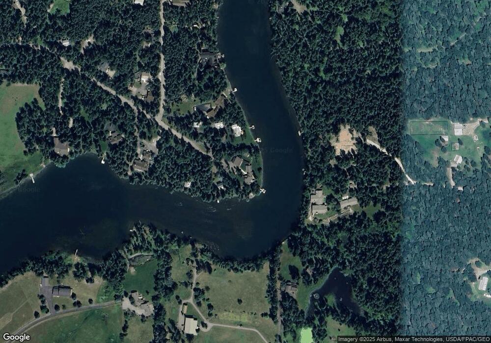
Map
Nearby Homes
- 305 Ferndale Dr Unit 41&42
- 305 Ferndale Dr Unit 42
- 305 Ferndale Dr Unit 41
- 72 Pilots Trail
- 518 Eastman Dr
- 115 Ferndale Dr
- 639 Three Eagle Ln
- 1150 Swan Hill Dr
- 30580 Cayuse Ln
- 280 Shady Ln
- 172 Swanlea Rd S
- #30 Bear Creek Village
- 183 Pinto Trail
- Nhn Swan Hill Dr
- 237 Timberjack Trail
- 157 Pinto Trail
- 29545 Drifting Way
- 401 Saddlehorn Trail
- 11357 Mt Highway 83
- 664 Saddlehorn Trail
- 262 Williams Ln
- 292 Williams Ln
- 286 & 292 Williams Ln
- 250 Williams Ln
- 340 Williams Ln
- 5 Lazy Swan Ln
- 244 Williams Ln
- 320 Ferndale Dr
- 370 Ferndale Dr
- 234 Williams Ln
- 233 Williams Ln
- 11 Lazy Swan Ln
- 226 Williams Ln
- 295 Kirby Ln
- 49 Lazy Swan Ln
- 330 Kirby Ln
- 40 Lazy Swan Ln
- 229 Williams Ln
- 400 Ferndale Dr
- 400 Ferndale Dr
Your Personal Tour Guide
Ask me questions while you tour the home.