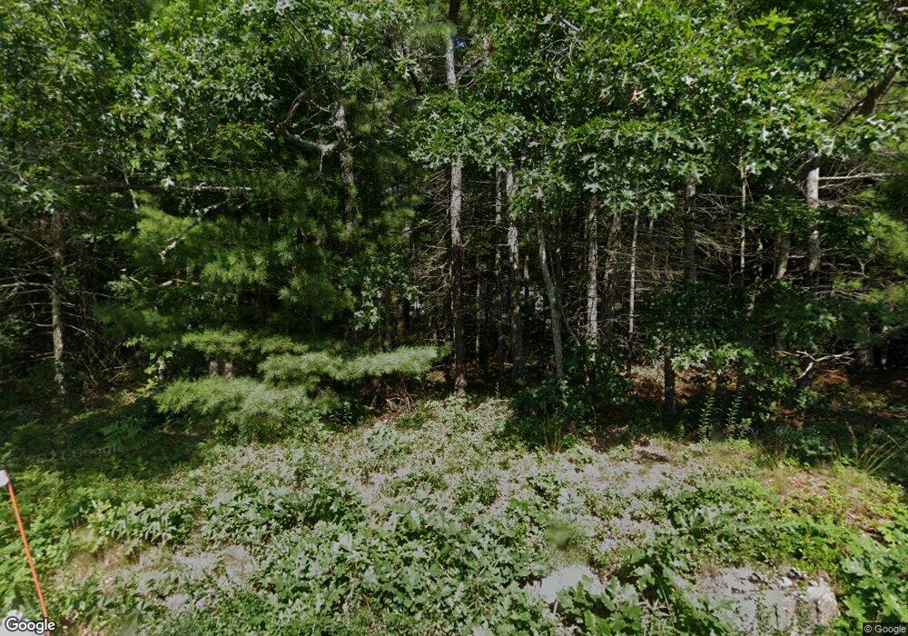
280 Wings Neck Rd Pocasset, MA 02559
Pocasset NeighborhoodEstimated Value: $1,020,000 - $1,371,000
4
Beds
3
Baths
2,201
Sq Ft
$552/Sq Ft
Est. Value
About This Home
This home is located at 280 Wings Neck Rd, Pocasset, MA 02559 and is currently estimated at $1,214,983, approximately $552 per square foot. 280 Wings Neck Rd is a home located in Barnstable County with nearby schools including Bourne High School and Cadence Academy Preschool - Bourne.
Ownership History
Date
Name
Owned For
Owner Type
Purchase Details
Closed on
Aug 23, 2016
Sold by
Taylor James M and Taylor Dorothy A
Bought by
Darling Ann M and Feeney Theresa D
Current Estimated Value
Purchase Details
Closed on
Nov 15, 1999
Sold by
Baines David E and Baines Linda R
Bought by
Taylor James M and Taylor Dorothy A
Purchase Details
Closed on
Jun 28, 1996
Sold by
Dolat Bernard W and Dolat Jean C
Bought by
Baines David E and Baines Linda Rando
Create a Home Valuation Report for This Property
The Home Valuation Report is an in-depth analysis detailing your home's value as well as a comparison with similar homes in the area
Home Values in the Area
Average Home Value in this Area
Purchase History
| Date | Buyer | Sale Price | Title Company |
|---|---|---|---|
| Darling Ann M | -- | -- | |
| Taylor James M | $365,000 | -- | |
| Baines David E | $245,000 | -- | |
| Darling Ann M | -- | -- | |
| Taylor James M | $365,000 | -- | |
| Baines David E | $245,000 | -- |
Source: Public Records
Mortgage History
| Date | Status | Borrower | Loan Amount |
|---|---|---|---|
| Previous Owner | Baines David E | $165,000 | |
| Previous Owner | Baines David E | $100,000 |
Source: Public Records
Tax History Compared to Growth
Tax History
| Year | Tax Paid | Tax Assessment Tax Assessment Total Assessment is a certain percentage of the fair market value that is determined by local assessors to be the total taxable value of land and additions on the property. | Land | Improvement |
|---|---|---|---|---|
| 2025 | $8,211 | $1,051,400 | $613,000 | $438,400 |
| 2024 | $8,030 | $1,001,300 | $583,900 | $417,400 |
| 2023 | $7,303 | $828,900 | $454,700 | $374,200 |
| 2022 | $6,594 | $653,500 | $356,500 | $297,000 |
| 2021 | $7,145 | $594,700 | $324,400 | $270,300 |
| 2020 | $6,113 | $569,200 | $321,300 | $247,900 |
| 2019 | $6,289 | $555,200 | $321,300 | $233,900 |
| 2018 | $5,377 | $536,900 | $314,000 | $222,900 |
| 2017 | $5,216 | $562,800 | $342,100 | $220,700 |
| 2016 | $5,324 | $524,000 | $311,000 | $213,000 |
| 2015 | $5,277 | $524,000 | $311,000 | $213,000 |
Source: Public Records
Map
Nearby Homes
- 270 Wings Neck Rd
- 281 Wings Neck Rd
- 97 Harbor Dr
- 89 Old North Rd
- 89 Old Rd N
- 94 Harbor Dr
- 11 Bassetts Island
- 160 North Rd Unit 160
- 260 Wings Neck Rd
- 85 Old North Rd
- 90 Old North Rd
- 265 Wings Neck Rd
- 286 Wings Neck Rd
- 71 North Rd
- 88 Old Rd N
- 88 Old North Rd
- 88 Harbor Dr
- 90 Old Rd N
- 90 Old North Rd -Weekly Unit 90
- 83 Old North Rd
