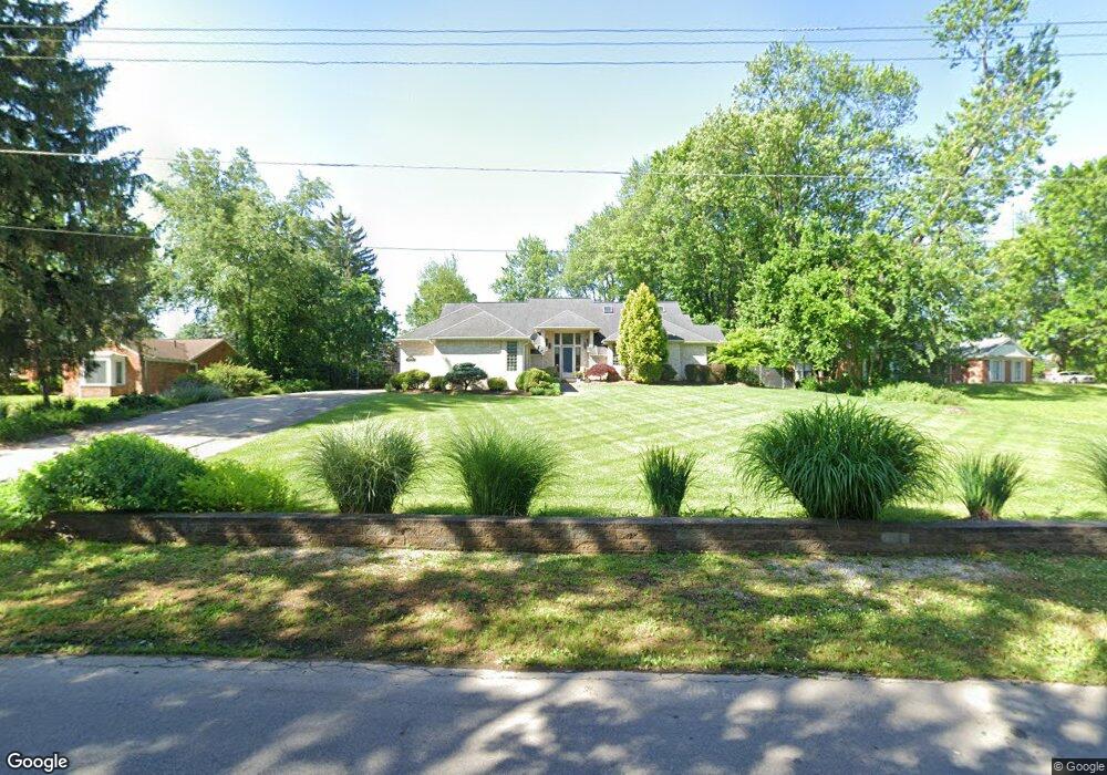
2800 Circle Dr Flint, MI 48507
Circle Neighborhood NeighborhoodEstimated Value: $232,000 - $293,468
4
Beds
4
Baths
3,028
Sq Ft
$88/Sq Ft
Est. Value
About This Home
This home is located at 2800 Circle Dr, Flint, MI 48507 and is currently estimated at $265,617, approximately $87 per square foot. 2800 Circle Dr is a home located in Genesee County with nearby schools including Freeman Elementary School, Flint Southwestern Classical Academy, and International Academy of Flint (K-12).
Ownership History
Date
Name
Owned For
Owner Type
Purchase Details
Closed on
Aug 4, 2011
Sold by
Cameron Janet
Bought by
Cameron Janet and Alvey Jennifer Ellen
Current Estimated Value
Purchase Details
Closed on
Jul 5, 2006
Sold by
Aiyer Ananthakrishnan G and Alvey Jennifer Ellen
Bought by
Aiyer Ananthakrishnan G and Alvey Jennifer Ellen
Purchase Details
Closed on
Jun 28, 2006
Sold by
Roberts Eylastine Green and Roberts Roscoe
Bought by
Aiyer Ananthakrishnan G and Alvey Jennifer Ellen
Create a Home Valuation Report for This Property
The Home Valuation Report is an in-depth analysis detailing your home's value as well as a comparison with similar homes in the area
Home Values in the Area
Average Home Value in this Area
Purchase History
| Date | Buyer | Sale Price | Title Company |
|---|---|---|---|
| Cameron Janet | -- | None Available | |
| Aiyer Ananthakrishnan G | -- | Guaranty Title Company | |
| Aiyer Ananthakrishnan G | $275,000 | Guaranty Title Company |
Source: Public Records
Tax History
| Year | Tax Paid | Tax Assessment Tax Assessment Total Assessment is a certain percentage of the fair market value that is determined by local assessors to be the total taxable value of land and additions on the property. | Land | Improvement |
|---|---|---|---|---|
| 2025 | $4,574 | $133,200 | $0 | $0 |
| 2024 | $4,019 | $130,200 | $0 | $0 |
| 2023 | $3,875 | $113,500 | $0 | $0 |
| 2022 | $0 | $107,000 | $0 | $0 |
| 2021 | $4,112 | $92,800 | $0 | $0 |
| 2020 | $3,582 | $90,400 | $0 | $0 |
| 2019 | $3,410 | $77,200 | $0 | $0 |
| 2018 | $3,684 | $70,300 | $0 | $0 |
| 2017 | $3,551 | $0 | $0 | $0 |
| 2016 | $3,522 | $0 | $0 | $0 |
| 2015 | -- | $0 | $0 | $0 |
| 2014 | -- | $0 | $0 | $0 |
| 2012 | -- | $83,800 | $0 | $0 |
Source: Public Records
Map
Nearby Homes
- 3115 Circle Dr
- 2221 Howard Ave
- 2910 Shawnee Ave
- 2224 Crocker Ave
- 3218 Collingwood Pkwy
- 3209 Shawnee Ave
- 3505 Comanche Ave
- 2029 Winans Ave
- 2033 Seymour Ave
- 213 E Lakeview Ave
- 149 E Linsey Blvd
- 149 E Tobias St
- 133 E Oakley St
- 2010 Crocker Ave
- 2050 Ferris Ave
- 361 Buckingham Ave
- 115 E Livingston Dr
- 630 Buckingham Ave
- 621 Burroughs Ave
- 352 Buckingham Ave
- 2822 Circle Dr
- 2722 Circle Dr
- 2902 Circle Dr
- 2801 Circle Dr
- 2821 Circle Dr
- 2727 Circle Dr
- 2717 Circle Dr
- 2912 Circle Dr
- 2712 Indian Bow Trail
- 2721 Indian Bow Trail
- 2630 Pewanaga Place
- 2701 Circle Dr
- 2620 Indian Bow Trail
- 2612 Indian Bow Trail
- 1302 Woodslea Dr
- 2922 Circle Dr
- 1508 Arrow Ln
- 2911 Circle Dr
- 2604 Indian Bow Trail
- 2620 Pewanaga Place
Your Personal Tour Guide
Ask me questions while you tour the home.