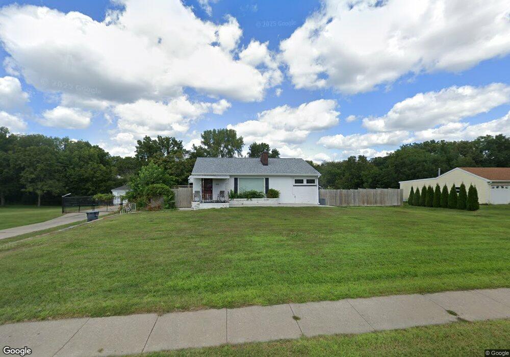
2800 Division St Burlington, IA 52601
Estimated Value: $94,000 - $189,000
2
Beds
3
Baths
1,400
Sq Ft
$111/Sq Ft
Est. Value
About This Home
This home is located at 2800 Division St, Burlington, IA 52601 and is currently estimated at $155,113, approximately $110 per square foot. 2800 Division St is a home located in Des Moines County with nearby schools including Burlington Community High School, Burlington Notre Dame Catholic Elementary School, and Burlington Notre Dame Junior/Senior High School.
Ownership History
Date
Name
Owned For
Owner Type
Purchase Details
Closed on
Apr 15, 2016
Sold by
Jennie R Ballard
Bought by
Caldwell Cary
Current Estimated Value
Home Financials for this Owner
Home Financials are based on the most recent Mortgage that was taken out on this home.
Original Mortgage
$94,000
Outstanding Balance
$74,431
Interest Rate
3.58%
Estimated Equity
$80,682
Purchase Details
Closed on
Jun 7, 2011
Sold by
Louden James P and Louden Deanna M
Bought by
Moidel Jennie R
Purchase Details
Closed on
Nov 3, 2005
Sold by
Bank Of America Na
Bought by
Federal National Mortgage Association
Create a Home Valuation Report for This Property
The Home Valuation Report is an in-depth analysis detailing your home's value as well as a comparison with similar homes in the area
Home Values in the Area
Average Home Value in this Area
Purchase History
| Date | Buyer | Sale Price | Title Company |
|---|---|---|---|
| Caldwell Cary | -- | -- | |
| Moidel Jennie R | $108,500 | -- | |
| Federal National Mortgage Association | $50,000 | None Available |
Source: Public Records
Mortgage History
| Date | Status | Borrower | Loan Amount |
|---|---|---|---|
| Open | Caldwell Cary | $94,000 | |
| Closed | Caldwell Cary | -- |
Source: Public Records
Tax History Compared to Growth
Tax History
| Year | Tax Paid | Tax Assessment Tax Assessment Total Assessment is a certain percentage of the fair market value that is determined by local assessors to be the total taxable value of land and additions on the property. | Land | Improvement |
|---|---|---|---|---|
| 2025 | $2,998 | $161,400 | $50,000 | $111,400 |
| 2024 | $2,998 | $154,300 | $50,000 | $104,300 |
| 2023 | $2,620 | $154,300 | $50,000 | $104,300 |
| 2022 | $2,634 | $129,400 | $50,000 | $79,400 |
| 2021 | $2,634 | $129,400 | $50,000 | $79,400 |
| 2020 | $2,808 | $129,400 | $50,000 | $79,400 |
| 2019 | $2,364 | $129,400 | $50,000 | $79,400 |
| 2018 | $2,368 | $102,700 | $24,900 | $77,800 |
| 2017 | $2,394 | $101,600 | $0 | $0 |
| 2016 | $2,114 | $101,600 | $0 | $0 |
| 2015 | $2,114 | $101,600 | $0 | $0 |
| 2014 | $2,142 | $97,400 | $0 | $0 |
Source: Public Records
Map
Nearby Homes
- 2732 Meadowbrook Dr
- 123 Shields St
- 2600 Amelia St
- 2512 Clearview Dr
- 14528 S Highway 61
- TBD S Highway 61
- 2906 Cathmar St
- 513 Hagemann Ave
- 420 S Plane St
- 2204 Williams St
- 906 Westland Dr
- 526 S Plane St
- 310 Curran St
- 2912 Garden Ave
- 930 Horizon St
- 320 N Plane St
- 410 S Starr Ave
- 108 Center Ct
- 817 S Plane St
- 913 Lawrence Dr
- 2800 Division St
- 2752 Division St
- 2752 Division St
- 2748 Division St
- 2737 Division St
- 2733 Division St
- 2744 Division St
- 2736 Meadowbrook Dr
- 2729 Division St
- 2740 Division St
- 2725 Division St
- 138 Cottonwood Ct
- 2728 Meadowbrook Dr
- 125 Melrose Ct
- 134 Cottonwood Ct
- 134 Cottonwood Ct
- 127 Melrose Ct
- 2930 Division St
- 2720 Division St
- 2721 Division St