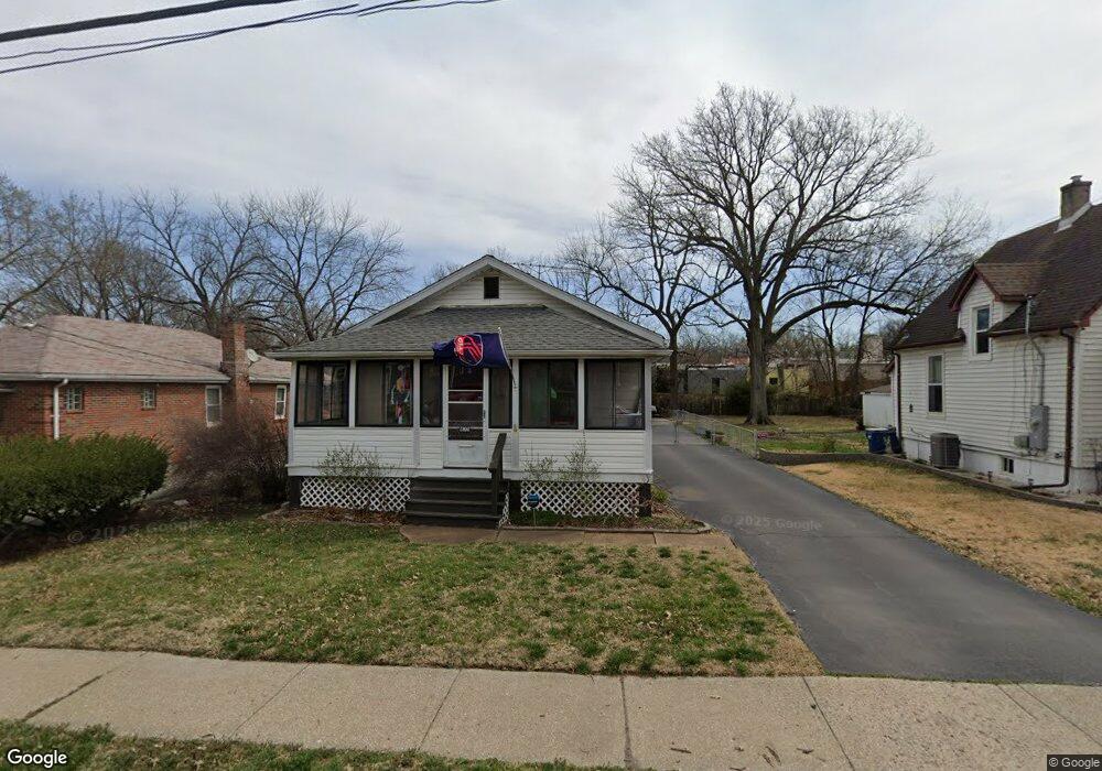
2800 Pasteur Ave Saint Louis, MO 63114
Estimated Value: $136,000 - $158,000
2
Beds
1
Bath
1,058
Sq Ft
$137/Sq Ft
Est. Value
About This Home
This home is located at 2800 Pasteur Ave, Saint Louis, MO 63114 and is currently estimated at $145,343, approximately $137 per square foot. 2800 Pasteur Ave is a home located in St. Louis County with nearby schools including Wyland Elementary School, Ritenour Middle School, and Ritenour Senior High School.
Ownership History
Date
Name
Owned For
Owner Type
Purchase Details
Closed on
Sep 17, 2019
Sold by
Thomas Beverly A and Thomas Michael S
Bought by
Bazzle Elizabeth C and Bazzle Thomas P
Current Estimated Value
Purchase Details
Closed on
Jun 19, 2014
Sold by
Bahr Roberta and Thomas Beverly A
Bought by
Steven Antal Residence Trust
Purchase Details
Closed on
Jan 7, 2011
Sold by
Antal Steven and Antal Bernadine F
Bought by
Thomas Beverly A and Steven Antal Residence Trust
Create a Home Valuation Report for This Property
The Home Valuation Report is an in-depth analysis detailing your home's value as well as a comparison with similar homes in the area
Home Values in the Area
Average Home Value in this Area
Purchase History
| Date | Buyer | Sale Price | Title Company |
|---|---|---|---|
| Bazzle Elizabeth C | $54,400 | None Available | |
| Steven Antal Residence Trust | -- | None Available | |
| Thomas Beverly A | -- | None Available |
Source: Public Records
Tax History
| Year | Tax Paid | Tax Assessment Tax Assessment Total Assessment is a certain percentage of the fair market value that is determined by local assessors to be the total taxable value of land and additions on the property. | Land | Improvement |
|---|---|---|---|---|
| 2025 | $1,811 | $26,360 | $5,970 | $20,390 |
| 2024 | $1,811 | $21,080 | $2,000 | $19,080 |
| 2023 | $1,771 | $21,080 | $2,000 | $19,080 |
| 2022 | $1,659 | $17,310 | $2,000 | $15,310 |
| 2021 | $1,659 | $17,310 | $2,000 | $15,310 |
| 2020 | $1,606 | $15,450 | $3,520 | $11,930 |
| 2019 | $1,588 | $15,450 | $3,520 | $11,930 |
| 2018 | $1,317 | $11,490 | $2,070 | $9,420 |
| 2017 | $1,256 | $11,490 | $2,070 | $9,420 |
| 2016 | $1,072 | $9,960 | $2,070 | $7,890 |
Source: Public Records
Map
Nearby Homes
- 9432 Tudor Ave
- 9157 E Milton Ave
- 3106 Quiet Ln
- 3108 Quiet Ln
- 9527 W Milton Ave
- 9034 Argyle Ave
- 9038 Tudor Ave
- 9017 Tudor Ave
- 3304 S Gordon Ct
- 8965 Argyle Ave
- 9531 Marlowe Ave
- 8925 Argyle Ave
- 3219 Coles Ave
- 3213 Airway Ave
- 2340 Burns Ave
- 2366 Addie Ave
- 3311 Eminence Blvd
- 3315 Eminence Blvd
- 3219 Royalton Ave
- 2424 Gothland Ave
- 2732 Pasteur Ave
- 2804 Pasteur Ave
- 2728 Pasteur Ave
- 2808 Pasteur Ave
- 2812 Pasteur Ave
- 2724 Pasteur Ave
- 2803 Woodson Rd
- 2814 Pasteur Ave
- 2733 Pasteur Ave
- 2720 Pasteur Ave
- 2805 Pasteur Ave
- 2822 Pasteur Ave
- 2729 Pasteur Ave
- 2716 Pasteur Ave
- 2809 Pasteur Ave
- 2725 Pasteur Ave
- 2813 Pasteur Ave
- 2719 Pasteur Ave
- 2817 Pasteur Ave
- 2721 Pasteur Ave
Your Personal Tour Guide
Ask me questions while you tour the home.