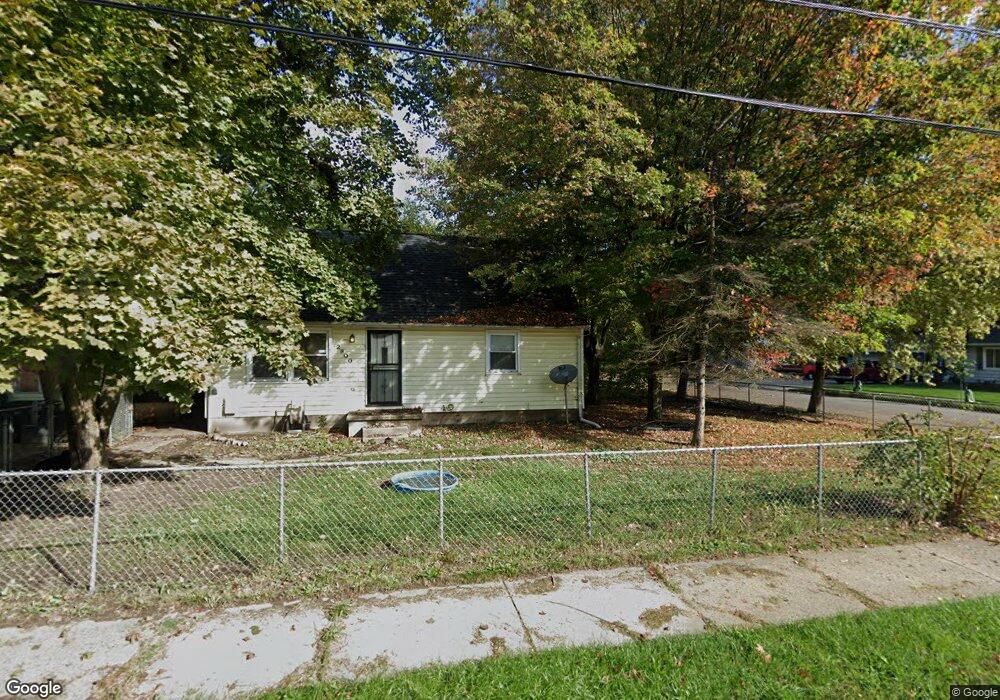
2800 Reo Rd Lansing, MI 48911
Pleasant Grove NeighborhoodEstimated Value: $133,000 - $162,000
4
Beds
1
Bath
1,224
Sq Ft
$120/Sq Ft
Est. Value
About This Home
This home is located at 2800 Reo Rd, Lansing, MI 48911 and is currently estimated at $146,291, approximately $119 per square foot. 2800 Reo Rd is a home located in Ingham County with nearby schools including Reo Elementary School, Attwood School, and J.W. Sexton High School.
Ownership History
Date
Name
Owned For
Owner Type
Purchase Details
Closed on
Mar 15, 2018
Sold by
2800Reo Llc
Bought by
Fox Land Holdings Llc
Current Estimated Value
Purchase Details
Closed on
Jan 24, 2008
Sold by
Beaubier Shane T
Bought by
Phh Mortgage Corp and Coldwell Banker Mortgage
Purchase Details
Closed on
Jan 26, 2007
Sold by
Duffield Francine and Mcmillian Francine
Bought by
Beaubier Shane T
Home Financials for this Owner
Home Financials are based on the most recent Mortgage that was taken out on this home.
Original Mortgage
$85,405
Interest Rate
7.16%
Mortgage Type
Second Mortgage Made To Cover Down Payment
Purchase Details
Closed on
Jun 1, 1994
Create a Home Valuation Report for This Property
The Home Valuation Report is an in-depth analysis detailing your home's value as well as a comparison with similar homes in the area
Home Values in the Area
Average Home Value in this Area
Purchase History
| Date | Buyer | Sale Price | Title Company |
|---|---|---|---|
| Fox Land Holdings Llc | -- | Bridge Title Agency Llc | |
| Phh Mortgage Corp | $90,829 | None Available | |
| Beaubier Shane T | $89,900 | Fatic | |
| -- | $51,000 | -- |
Source: Public Records
Mortgage History
| Date | Status | Borrower | Loan Amount |
|---|---|---|---|
| Previous Owner | Beaubier Shane T | $85,405 |
Source: Public Records
Tax History Compared to Growth
Tax History
| Year | Tax Paid | Tax Assessment Tax Assessment Total Assessment is a certain percentage of the fair market value that is determined by local assessors to be the total taxable value of land and additions on the property. | Land | Improvement |
|---|---|---|---|---|
| 2025 | $3,008 | $56,100 | $6,900 | $49,200 |
| 2024 | $2,830 | $46,700 | $6,900 | $39,800 |
| 2023 | $2,830 | $39,200 | $6,900 | $32,300 |
| 2022 | $2,584 | $34,800 | $4,900 | $29,900 |
| 2021 | $2,524 | $32,900 | $3,600 | $29,300 |
| 2020 | $2,506 | $31,500 | $3,600 | $27,900 |
| 2019 | $2,368 | $30,300 | $3,600 | $26,700 |
| 2017 | $1,822 | $25,900 | $3,600 | $22,300 |
| 2016 | $1,749 | $24,200 | $3,600 | $20,600 |
| 2015 | $1,749 | $23,400 | $7,172 | $16,228 |
| 2014 | $1,749 | $23,000 | $9,281 | $13,719 |
Source: Public Records
Map
Nearby Homes
- 4416 Ballard Rd
- 2706 W Jolly Rd
- 2416 Midwood St
- 3907 Ingham St
- 3428 W Jolly Rd
- 2101 Mary Ave
- 3536 Maybel St
- 3600 Ronald St
- 4928 Hughes Rd
- 5100 Wexford Rd
- 5017 Christiansen Rd
- 1729 Reo Rd
- 0 Midwood St
- 3401 S Deerfield Ave
- 3725 Alpine Dr
- 2010 Ferrol St
- 2800 S Waverly Rd
- 4018 Clayborn Rd
- 3330 Avalon St
- 1715 Hillcrest St