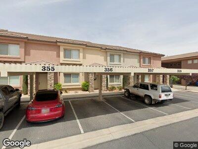
2801 E 450 N Unit 211 Saint George, UT 84790
Estimated Value: $379,000 - $434,000
3
Beds
3
Baths
1,451
Sq Ft
$284/Sq Ft
Est. Value
About This Home
This home is located at 2801 E 450 N Unit 211, Saint George, UT 84790 and is currently estimated at $412,667, approximately $284 per square foot. 2801 E 450 N Unit 211 is a home located in Washington County with nearby schools including Sandstone School, Pine View Middle School, and Fossil Ridge Intermediate School.
Ownership History
Date
Name
Owned For
Owner Type
Purchase Details
Closed on
Nov 6, 2012
Sold by
Ve Management And Investment Co Lc
Bought by
Barnum J Kartis J and Barnum Shelliann
Current Estimated Value
Purchase Details
Closed on
Jan 20, 2012
Sold by
Federal Deposit Insurance Corporation
Bought by
Ve Management & Investment Co Lc
Purchase Details
Closed on
Oct 18, 2010
Sold by
K & K Construction & Development Inc
Bought by
Sunfirst Bank
Create a Home Valuation Report for This Property
The Home Valuation Report is an in-depth analysis detailing your home's value as well as a comparison with similar homes in the area
Home Values in the Area
Average Home Value in this Area
Purchase History
| Date | Buyer | Sale Price | Title Company |
|---|---|---|---|
| Barnum J Kartis J | -- | Southern Utah Title | |
| Ve Management & Investment Co Lc | -- | Southern Utah Title | |
| Sunfirst Bank | -- | None Available |
Source: Public Records
Tax History Compared to Growth
Tax History
| Year | Tax Paid | Tax Assessment Tax Assessment Total Assessment is a certain percentage of the fair market value that is determined by local assessors to be the total taxable value of land and additions on the property. | Land | Improvement |
|---|---|---|---|---|
| 2023 | $1,387 | $207,185 | $35,750 | $171,435 |
| 2022 | $1,480 | $207,955 | $35,750 | $172,205 |
| 2021 | $1,289 | $270,100 | $48,000 | $222,100 |
| 2020 | $1,206 | $238,100 | $45,000 | $193,100 |
| 2019 | $1,188 | $229,100 | $40,000 | $189,100 |
| 2018 | $1,080 | $107,525 | $0 | $0 |
| 2017 | $1,068 | $103,235 | $0 | $0 |
| 2016 | $1,029 | $91,960 | $0 | $0 |
| 2015 | $992 | $85,030 | $0 | $0 |
| 2014 | $999 | $86,185 | $0 | $0 |
Source: Public Records
Map
Nearby Homes
- 2801 E 450 N Unit 329
- 2843 E 410 St N
- 2930 E 450 N Unit F6
- 600 N 2450 E Unit 1903
- 579 N 3050 E
- 2720 N 2720 E
- 2577 E 430 N
- 271 N 2700 E
- 235 N 2900 E
- 238 N 2940 E
- 790 N 2720 E Unit 18
- 280 N Sunflower Dr Unit 25
- 166 N 2900 E
- 240 N Sunflower Dr Unit 48
- 240 N Sunflower Dr Unit 48
- 402 N 2370 E
- 109 N 2790 E
- 129 N 2710 E
- 2801 E 450 N Unit 23
- 2801 E 450 N Unit 324
- 2801 E 450 N Unit 51
- 2801 E 450 N Unit 205
- 2801 E 450 N Unit 56
- 2801 E 450 N Unit 327
- 2801 E 450 N Unit 333
- 2801 E 450 N Unit 302
- 2801 E 450 N Unit 358
- 2801 E 450 N Unit 20
- 2801 E 450 N Unit 319
- 2801 E 450 N Unit 26
- 2801 E 450 N Unit 362
- 2801 E 450 N Unit 349
- 2801 E 450 N Unit 53
- 2801 E 450 N Unit 338
- 2801 E 450 N Unit 55
- 2801 E 450 N Unit 211
- 2801 E 450 N Unit 334
- 2801 E 450 N Unit 345