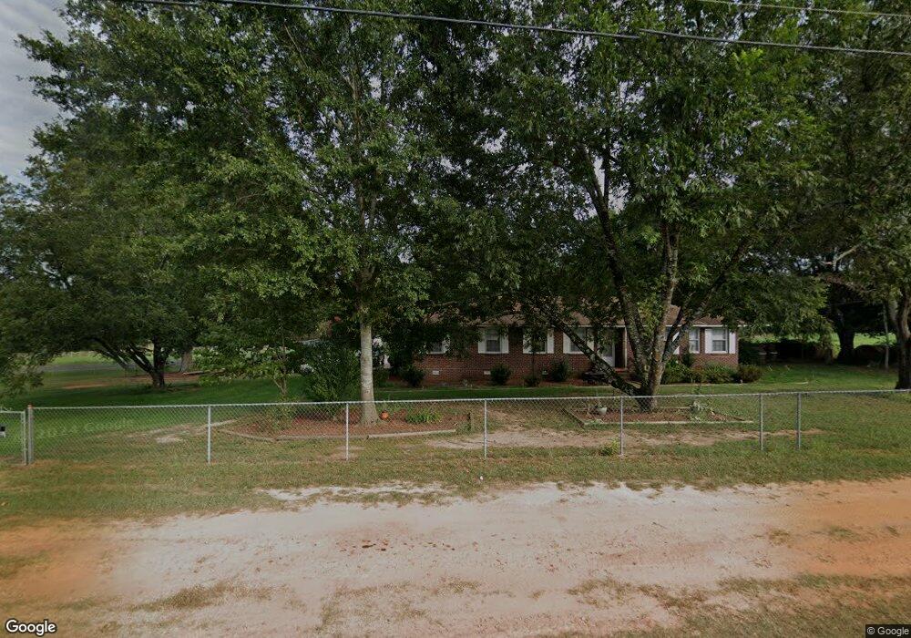
2801 Highway 187 S Unit 2701 Highway 187 Sou Anderson, SC 29626
Estimated Value: $197,154 - $280,000
3
Beds
2
Baths
1,869
Sq Ft
$130/Sq Ft
Est. Value
About This Home
This home is located at 2801 Highway 187 S Unit 2701 Highway 187 Sou, Anderson, SC 29626 and is currently estimated at $243,289, approximately $130 per square foot. 2801 Highway 187 S Unit 2701 Highway 187 Sou is a home located in Anderson County with nearby schools including McLees Elementary School, Robert Anderson Middle School, and Westside High School.
Ownership History
Date
Name
Owned For
Owner Type
Purchase Details
Closed on
Apr 15, 2011
Sold by
Sikes Vanice H and Sikes Ethel V
Bought by
Mcclellan Wendy D and Mcclellan Gene R
Current Estimated Value
Home Financials for this Owner
Home Financials are based on the most recent Mortgage that was taken out on this home.
Original Mortgage
$100,388
Outstanding Balance
$70,285
Interest Rate
5.12%
Mortgage Type
FHA
Estimated Equity
$173,004
Create a Home Valuation Report for This Property
The Home Valuation Report is an in-depth analysis detailing your home's value as well as a comparison with similar homes in the area
Home Values in the Area
Average Home Value in this Area
Purchase History
| Date | Buyer | Sale Price | Title Company |
|---|---|---|---|
| Mcclellan Wendy D | $103,000 | -- |
Source: Public Records
Mortgage History
| Date | Status | Borrower | Loan Amount |
|---|---|---|---|
| Open | Mcclellan Wendy D | $100,388 |
Source: Public Records
Tax History Compared to Growth
Tax History
| Year | Tax Paid | Tax Assessment Tax Assessment Total Assessment is a certain percentage of the fair market value that is determined by local assessors to be the total taxable value of land and additions on the property. | Land | Improvement |
|---|---|---|---|---|
| 2024 | $626 | $4,900 | $600 | $4,300 |
| 2023 | $626 | $4,900 | $600 | $4,300 |
| 2022 | $595 | $4,900 | $600 | $4,300 |
| 2021 | $561 | $4,560 | $600 | $3,960 |
| 2020 | $554 | $4,560 | $600 | $3,960 |
| 2019 | $554 | $4,560 | $600 | $3,960 |
| 2018 | $563 | $4,560 | $600 | $3,960 |
| 2017 | -- | $4,560 | $600 | $3,960 |
| 2016 | $539 | $4,060 | $280 | $3,780 |
| 2015 | $549 | $4,060 | $280 | $3,780 |
| 2014 | $544 | $4,060 | $280 | $3,780 |
Source: Public Records
Map
Nearby Homes
- 1020 Providence Church Rd Unit Tract B
- 1020 Providence Church Rd Unit Tract 6
- 1020 Providence Church Rd Unit Tract 5
- 1441 Providence Church Rd
- 123 Tc-11-46
- 401 Broadwater Cir
- Lot #40 Lakefront Dr
- Lot #59 Lakefront Dr
- 315 Lakefront Dr
- 215 Cedar St
- 800 Murphy Rd
- 1005 Cove Cir
- 117 Club Point
- 590 River Forks Rd
- 106 Harbour Springs Way
- 104 Jarrett Rd
- 1215 Grady Hall Rd
- Lot14A Brady Dr
- 139 Brady Dr
- 145 Brady Dr
- 2801 Highway 187 S Unit 2701 Highway 187 Sou
- 2801 Highway 187 S
- 2801 Highway 187 S
- 00 Roberts Church Rd Unit 300 Mattison Road
- 00 Roberts Church Rd
- 109 Roberts Church Rd
- 174.153 AC. S Carolina 187
- 3631 Hwy 187 S Tract A
- 1001 Providenvce Church Rd
- 121 Roberts Church Rd
- 129 Roberts Church Rd
- 129 Robert's Church Rd
- 1020 Providence Church Rd Unit Track 2
- 1020 Providence Church Rd Unit Track 1
- 205 Roberts Church Rd
- 2900 Highway 187 S
- 108 Murphy Rd
- 2900 S Carolina 187
- 2901 Highway 187 S
- 211 Roberts Church Rd