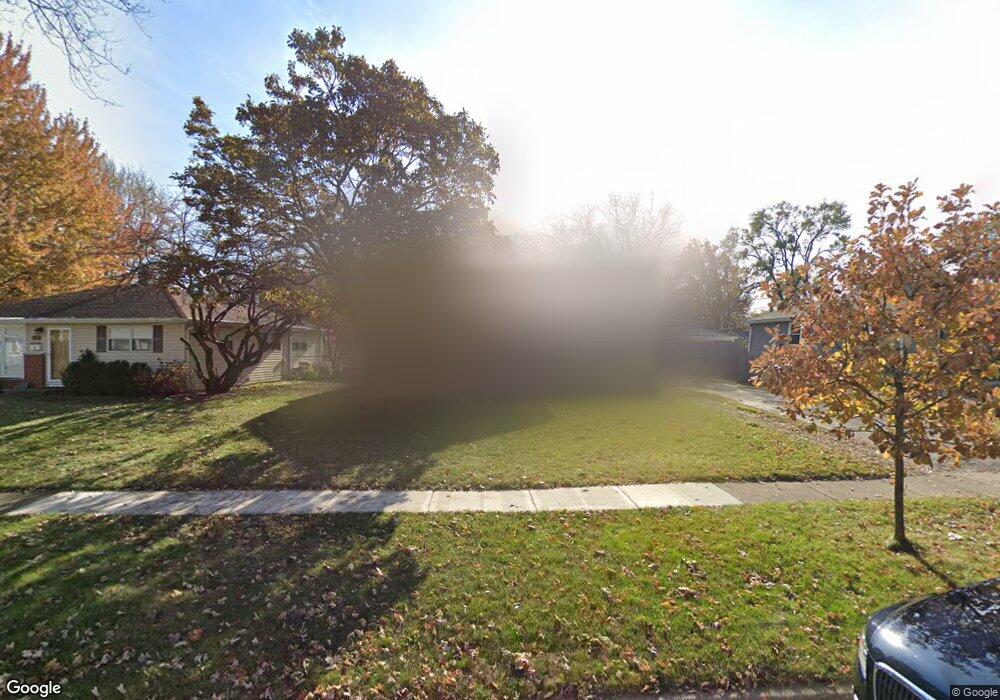
2801 Martin Ln Rolling Meadows, IL 60008
Estimated Value: $297,000 - $307,000
3
Beds
1
Bath
804
Sq Ft
$374/Sq Ft
Est. Value
About This Home
This home is located at 2801 Martin Ln, Rolling Meadows, IL 60008 and is currently estimated at $300,698, approximately $374 per square foot. 2801 Martin Ln is a home located in Cook County with nearby schools including Kimball Hill Elementary School, King Elementary School, and Carl Sandburg Junior High School.
Ownership History
Date
Name
Owned For
Owner Type
Purchase Details
Closed on
Nov 21, 2008
Sold by
Dalby Nancy
Bought by
Sandoval Andres and Sandoval Debra J
Current Estimated Value
Home Financials for this Owner
Home Financials are based on the most recent Mortgage that was taken out on this home.
Original Mortgage
$191,473
Interest Rate
6.19%
Mortgage Type
FHA
Create a Home Valuation Report for This Property
The Home Valuation Report is an in-depth analysis detailing your home's value as well as a comparison with similar homes in the area
Home Values in the Area
Average Home Value in this Area
Purchase History
| Date | Buyer | Sale Price | Title Company |
|---|---|---|---|
| Sandoval Andres | $182,500 | Pntn |
Source: Public Records
Mortgage History
| Date | Status | Borrower | Loan Amount |
|---|---|---|---|
| Closed | Sandoval Andres | $191,473 |
Source: Public Records
Tax History Compared to Growth
Tax History
| Year | Tax Paid | Tax Assessment Tax Assessment Total Assessment is a certain percentage of the fair market value that is determined by local assessors to be the total taxable value of land and additions on the property. | Land | Improvement |
|---|---|---|---|---|
| 2024 | $5,727 | $22,000 | $4,455 | $17,545 |
| 2023 | $5,453 | $22,000 | $4,455 | $17,545 |
| 2022 | $5,453 | $22,000 | $4,455 | $17,545 |
| 2021 | $4,361 | $16,500 | $2,632 | $13,868 |
| 2020 | $4,332 | $16,500 | $2,632 | $13,868 |
| 2019 | $4,366 | $18,436 | $2,632 | $15,804 |
| 2018 | $4,014 | $15,828 | $2,430 | $13,398 |
| 2017 | $3,951 | $15,828 | $2,430 | $13,398 |
| 2016 | $3,941 | $15,828 | $2,430 | $13,398 |
| 2015 | $3,439 | $13,546 | $2,227 | $11,319 |
| 2014 | $3,374 | $13,546 | $2,227 | $11,319 |
| 2013 | $3,275 | $13,546 | $2,227 | $11,319 |
Source: Public Records
Map
Nearby Homes
- 3316 Trillium Cir
- 3115 Town Square Dr Unit 206
- 3125 Town Square Dr Unit 408
- 3208 Wren Ln
- 2611 South St
- 3265 Kirchoff Rd Unit 223
- 3355 Kirchoff Rd Unit 6A
- 2201 Kingfisher Ln
- 3600 Owl Dr
- 3400 Wellington Ct Unit 306
- 2100 Martin Ln
- 3805 Wren Ln
- 2503 Fulle St Unit 17
- 502 S Reuter Dr
- 4101 Owl Dr
- 2303 Fulle St
- 4209 Owl Dr
- 2930 Northampton Dr Unit A2
- 2102 Eastman St
- 1615 W Johanna Terrace